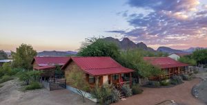
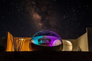
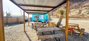
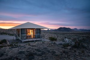
 Glamping
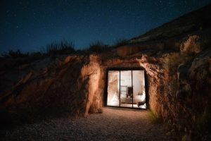
Camp Elena
Eight luxury glamping tents near Big Bend—private, quiet, starry nights.
~10 mi to park
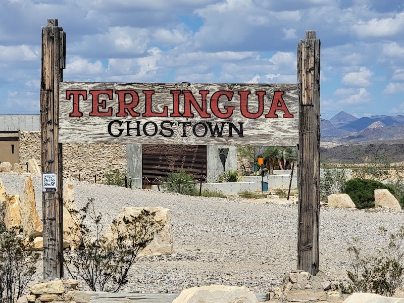
Terlingua Big Bend National Park
Best for: Couples
Open year-roundView details →
Big Bend National Park is open. Chisos Basin will be closed for roughly two years starting May 1, 2026; Hot Springs Road and Black Gap Road are closed due to flood damage; peregrine falcon protections Feb 1–May 31 in East Rim areas apply. Vehicle entry is not restricted by reservation. Main Rule: avoid closed zones, prepare for 4x4 dirt roads, and obtain backcountry permits if you plan to camp.
Big Bend spans 801,000 acres (1,251 sq mi) of desert, canyons, and river vistas. The park sits at the convergence of ecosystems along the Rio Grande, linking desert scrub to montane forest and riparian zones. Its scale supports long, multi-day explorations of dramatic river corridors, dramatic canyon walls, and highland vistas. The area hosts significant natural and cultural resources that have supported scientific study and long-standing visitor engagement. Plan for remote logistics, water needs, and backcountry access to truly comprehend the landscape’s breadth.
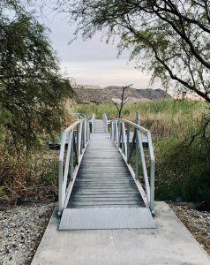
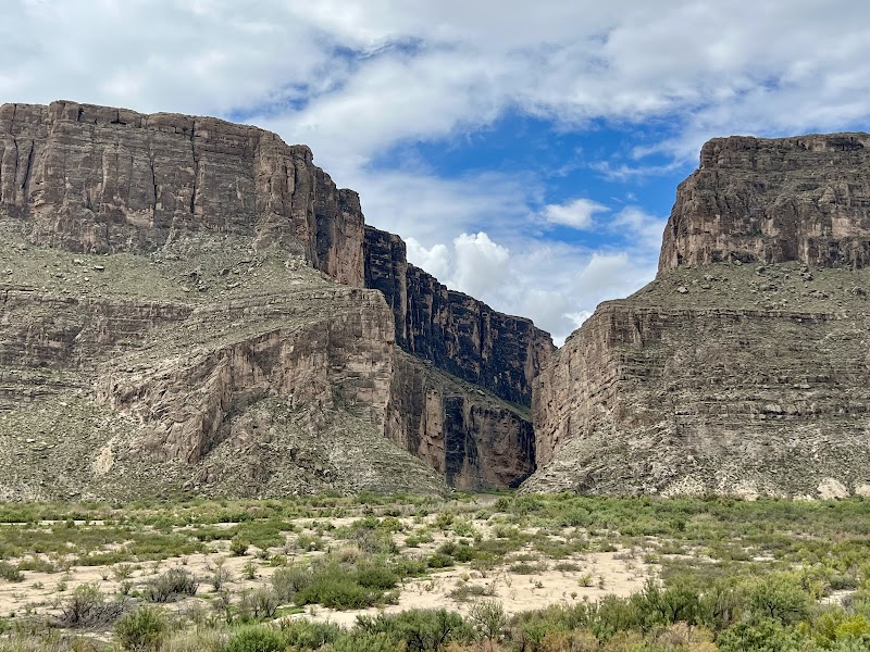
Santa Elena Canyon hike, Boquillas Canyon, Window Trail, Ross Maxwell Scenic Drive, Chisos Basin hikes (Lost Mine), Rio Grande Village sunrise views
Junior Ranger activities available; choose short hikes for younger visitors; verify trail difficulty beforehand
ADA-accessible facilities exist at visitor centers; trails vary in accessibility; plan ahead for trail access
Use pullouts for canyon shots; sunrise/sunset viewpoints at high overlooks; avoid blocking traffic or trail access
Spring and fall are Prime; plan around road access and weather conditions
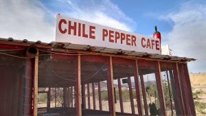
Gateway towns offer limited services; gas, groceries, and basic medical care; plan for remote logistics
Day 1: Ross Maxwell Drive → Santa Elena Canyon; Day 2: Chisos Basin hikes; Day 3: Boquillas Canyon and Rio Grande Village; Day 4+: optional backcountry access
No timed-entry; digital pass available; dirt roads require high clearance 4x4; access to Chisos Basin will be restricted during gate closures; plan alternate routes
WEST SIDE offers easier access and more dining options; EAST SIDE provides remote viewpoints and fewer services; plan to split stay if possible
Peak visitation in spring (March–April); hot summer months; shoulder seasons (May, September–October) lighter; winter visits depend on weather and road conditions
March–April
May and September–October
November–February
Chisos Basin Road closed May 1, 2026 for improvement; no fixed reopening date; monitor official updates for road status; peregrine falcon protections Feb 1–May 31 may influence access to some areas
Primary gateways: El Paso International (ELP) and Midland International (MAF). Smaller regional access for gateway towns (Marathon, Alpine) with charter connections available; many visitors fly into Dallas or Austin then drive
From El Paso: ~350 miles (roughly 6 hours) to park entrances; From Midland/Odessa: ~400–450 miles (7–8 hours); From Dallas/Fort Worth: ~550–600 miles (9–11 hours)
Main gate near Panther Junction; additional access via Persimmon Gap and Castolon areas; some routes require 4x4 or high clearance during road closures
No mandatory internal shuttles; Park-wide transit not required
Timed-entry reservations are not required for Big Bend entry
Parking at popular trailheads (e.g., Santa Elena Canyon, Chisos Basin) can fill by 7:00 AM; arrive early
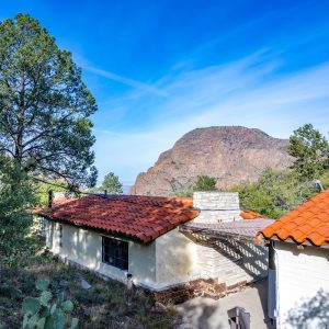
On-park lodging exists at the Chisos Basin area (Chisos Basin Lodge) with limited capacity; plan early
Developed campgrounds include Chisos Basin Campground and Rio Grande Village Campground; backcountry campsites require permits
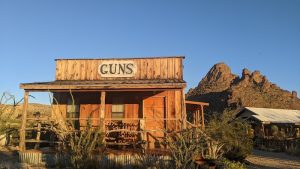
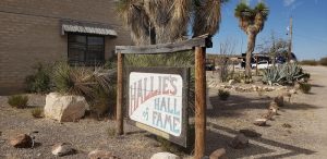
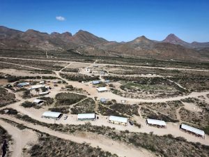
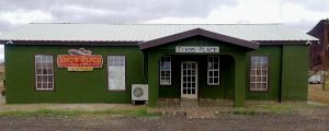
Terlingua, Alpine, Marathon, Lajitas
Be bear-aware; proper food storage required; bear canister use recommended in backcountry; fines may apply; observe wildlife from a distance
Extreme heat; temperatures often exceed 100°F; carry ample water; avoid afternoon hikes in warm months; water shortages reported in Chisos Basin
Elevation varies from river level to up to ~7,800 ft in the Chisos Mountains; altitude-related fatigue can occur
Pack out trash; stay on designated trails; practice Leave No Trace; respect cultural and natural resources
Backcountry permits required for backcountry camping; permits through Visitor Centers; camping in developed sites requires reservations
Desert-adapted fauna including javelinas, coyotes, rattlesnakes, roadrunners; diverse birdlife
Along river corridors, canyon rims, and higher elevations in the Chisos Mountains
Maintain distance; do not feed wildlife; observe from a safe distance
Bear spray rentals available from select outfitter shops and local operators
Desert climate with wide diurnal swings; hot summers; cool to mild winters
Arid with summer monsoon activity and occasional winter rains; flash flood risk in canyons
Water, sun protection, map, layered clothing, headlamp; backcountry permits if camping; bear spray in backcountry
No cotton; wear wool/synthetic layers; sturdy hiking boots; sun hat; light rain layer
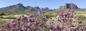
Highland forest, panoramic overlooks, popular trails like Lost Mine and Emory Peak routes
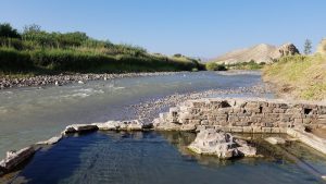
River corridor, canyon access (Boquillas, Santa Elena), hot springs access nearby
Deep canyon walls, river gorges, trail out-and-back options
Desert scenery, historical Castolon District access, East Rim vistas
Based on 6204 Google reviews
Showing 1 of 6204 reviews
Timed-entry reservations are not required for park entry; plan with a standard 7-day vehicle pass instead.
Expect peak crowds in spring; arrive early at trailheads; plan for heat and remote driving; check road status before you go.
Dirt roads (Old Ore, Black Gap) are extremely rough and require high-clearance 4x4; standard RVs or passenger cars should avoid them; use paved routes whenever possible.
Backcountry camping requires permits; plan ahead at Visitor Centers and obtain permits before departure.
Seasonal closures protect peregrine falcons Feb 1–May 31 in East Rim Trail areas; follow posted closures and plan alternatives.
Information is compiled from official sources, verified traveler reviews, and editorial research. Learn how YourNPGuide works →