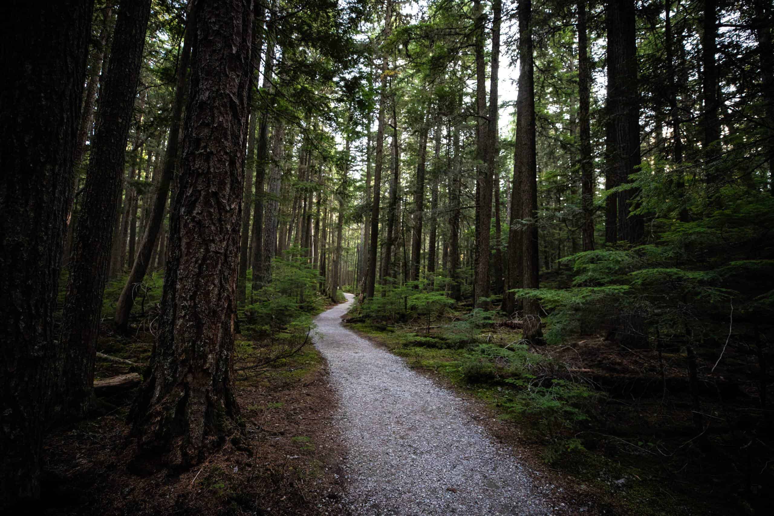
Best Hikes When Going-to-the-Sun Road Is Closed
Going-to-the-Sun Road is closed from mid-October through late June most years — but Glacier National Park never fully shuts down. Nine trailheads spread across the west side, east side, and North Fork remain drivable year-round via Highway 2 and Highway 89, delivering some of the park’s best hiking without the summer crowds or Logan Pass parking scramble.
Per NPS.gov, the full 52-mile Going-to-the-Sun Road opens between late June and early July depending on snowpack, and closes each fall around mid-October. The entrance fee remains $35 per vehicle regardless of whether GTSR is open. Below are the best hikes to plan when the iconic road is off the table.
- Going-to-the-Sun Road is typically closed from mid-October through late June — 8+ months per year.
- Lake McDonald/Apgar area trails are accessible year-round via the west entrance off Highway 2.
- Many Glacier trails (including Grinnell Glacier) are reachable via Route 89 from the north even when GTSR is closed.
- Two Medicine area hikes are among the first trails to clear of snow each spring.
- North Fork / Polebridge area is accessible but requires 30+ miles of unpaved road — check conditions before going.
- In 2026, no vehicle reservations are required anywhere in Glacier National Park per NPS.gov.
- Entrance fee: $35/vehicle, $20/person on foot or bike, $30/motorcycle — paid at any open entrance station.
Some links below are affiliate links.
Why the GTSR Closure Actually Matters for Hikers
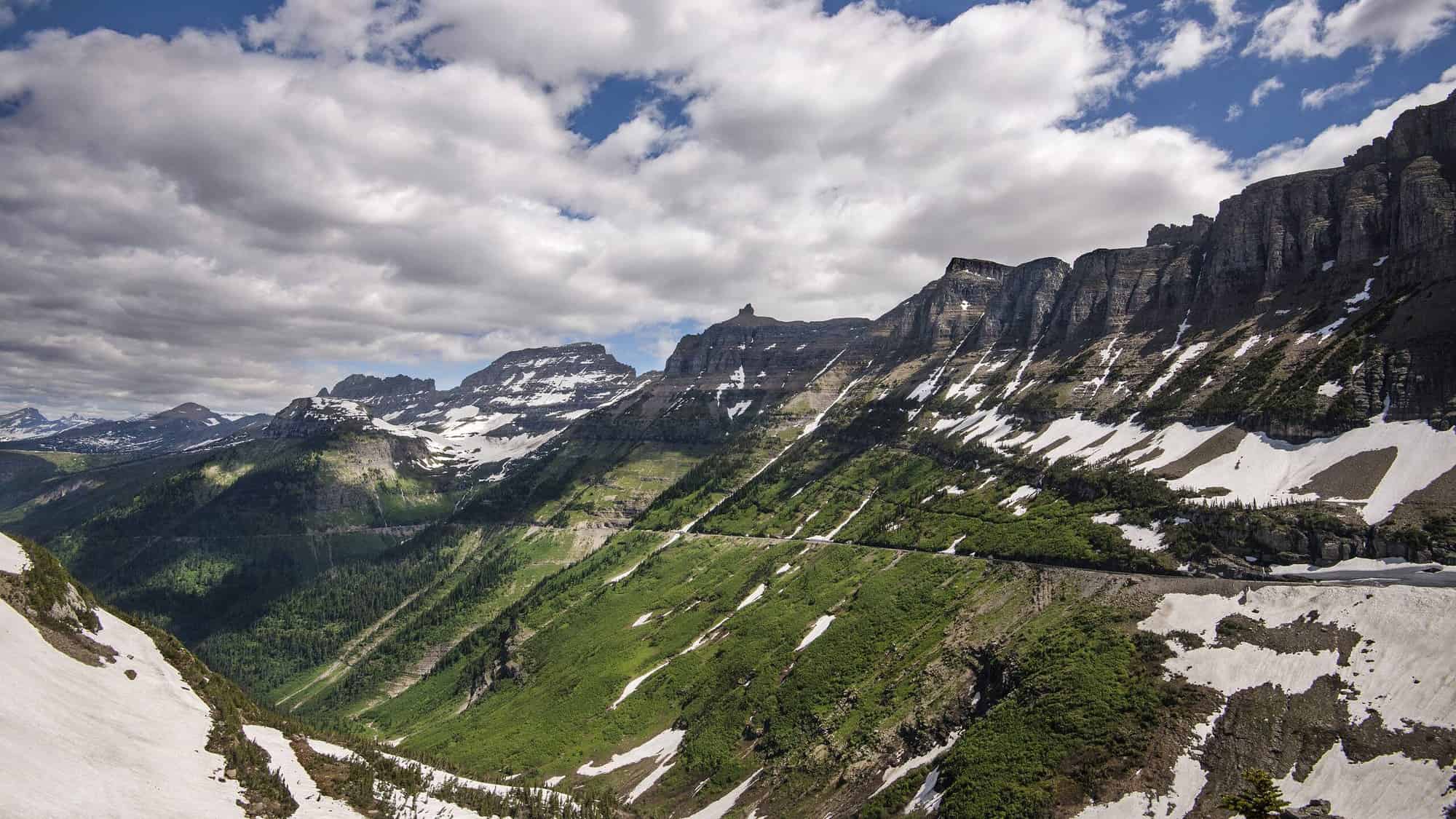
Going-to-the-Sun Road bisects Glacier National Park east to west, and its closure cuts off the most direct route between the park’s two sides. More critically for hikers, it eliminates access to the Logan Pass trailheads — including the Highline Trail, Hidden Lake Overlook, and the Garden Wall. These trails are simply not accessible when GTSR is closed.
What the closure does not eliminate: the park’s four peripheral regions. The west entrance near Apgar is always reachable via US Highway 2. Many Glacier on the northeast side connects to Route 89. Two Medicine draws from the east via Highway 49. And the North Fork region hangs off a separate unpaved corridor entirely. All four areas have compelling day hikes — many of which see far fewer visitors than their GTSR counterparts.
Quick Comparison: All 9 Hikes at a Glance
Per NPS.gov trail data, here are the nine best Glacier hikes accessible when Going-to-the-Sun Road is closed:
| Trail | Area | Distance (RT) | Elevation Gain | Difficulty |
|---|---|---|---|---|
| Trail of the Cedars + Avalanche Lake | Lake McDonald | 5.9 miles | 741 ft | Moderate |
| Johns Lake Loop | Lake McDonald | 1.9 miles | 210 ft | Easy |
| Apgar Lookout | Apgar / West Side | 7.2 miles | 1,850 ft | Moderate–Strenuous |
| Grinnell Glacier Trail | Many Glacier | 10.6 miles | 1,600 ft | Strenuous |
| Red Rock Falls | Many Glacier | 3.6 miles | 240 ft | Easy |
| Swiftcurrent Lake Loop | Many Glacier | 2.6 miles | Minimal | Easy |
| Running Eagle Falls | Two Medicine | 0.7 mile | 30 ft | Easy |
| Scenic Point | Two Medicine | 9.6 miles | 2,300 ft | Strenuous |
| Numa Lookout | North Fork | 5.6 miles | 2,930 ft | Strenuous |
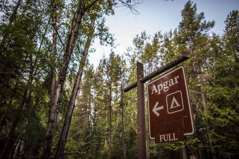
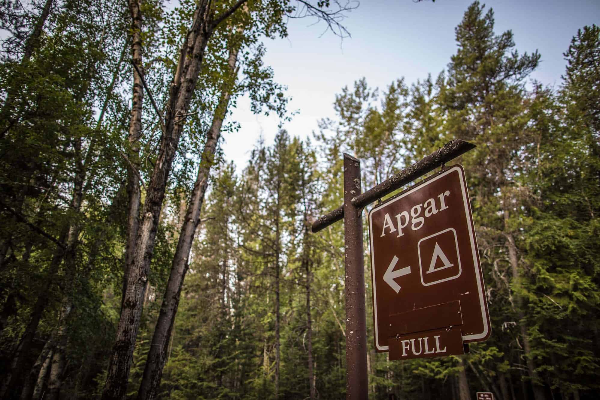
West Side Trails: Lake McDonald and Apgar Area
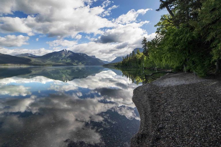
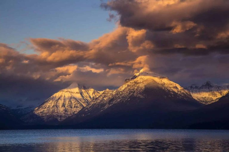
The west entrance at Apgar Village (elevation 3,160 ft) is open 24 hours year-round and reached via US Highway 2 through the town of West Glacier. Lake McDonald — the park’s largest lake at 9.4 miles long and 472 feet deep — sits just 2 miles east of the entrance and anchors three excellent day hikes.

Trail of the Cedars + Avalanche Lake (5.9 miles RT, 741 ft gain)
The Trail of the Cedars is a 0.9-mile accessible boardwalk loop through old-growth western red cedar and black cottonwood, before connecting to the Avalanche Lake Trail. The full out-and-back to Avalanche Lake adds 5 miles round trip and 741 feet of elevation gain, per NPS.gov. The payoff: a cirque lake fed by four separate waterfalls cascading off 3,000-foot cliffs. Note that in 2026, the Logan Pass shuttle does not serve Avalanche Creek — you must drive or walk from Lake McDonald Lodge (1.9 miles east on GTSR’s lower section, which opens in May).
Johns Lake Loop (1.9 miles, 210 ft gain)
A quiet, forested loop that passes Sacred Dancing Cascade and McDonald Falls — the latter a roaring Class V rapid that few visitors bother to find. The trailhead sits 1.3 miles east of Lake McDonald Lodge off GTSR’s lower section. Per hikinginglacier.com, elevation gain is just 210 feet and average hiking time is under an hour. This is an ideal option when snowpack limits options elsewhere.
Apgar Lookout (7.2 miles RT, 1,850 ft gain)
Starting from the Apgar Village trailhead, this climb delivers the best unrestricted view of Lake McDonald from above — the full 9.4-mile lake laid out against the peaks of the Lewis Range. Elevation gain of 1,850 feet makes it the most demanding west-side option, but it never requires GTSR access. The historic fire lookout at the summit (elevation ~5,236 ft) is staffed in summer months.
Many Glacier Area Hikes (East Side)
Many Glacier is the alpine crown of Glacier’s east side — five glacially carved lakes, a hotel built in 1915, and the densest concentration of grizzly bears in the lower 48 states. It’s accessible via Route 89 north from Browning, MT, then west on the Many Glacier Road. The route has no overlap with Going-to-the-Sun Road and remains open as long as Many Glacier Road is plowed — typically mid-May through November, per NPS.gov.
Grinnell Glacier Trail (10.6 miles RT, 1,600 ft gain)
The marquee Many Glacier hike. The full 10.6-mile round trip gains 1,600 feet and requires 7–8 hours. Hikers who take the Glacier Boat Company shuttle across Swiftcurrent Lake and Lake Josephine cut 3.4 miles from the total — reducing the hike to 7.2 miles. Boat tickets sell out quickly and must be booked in advance. Parking at the Many Glacier Hotel lot fills before 7:00 AM in peak season. Per AllTrails, it is rated strenuous with heavy sun and wind exposure above treeline.
Red Rock Falls (3.6 miles RT, 240 ft gain)
From the Swiftcurrent trailhead, hike southwest along Swiftcurrent Creek to a two-tiered waterfall dropping into a narrow red argillite gorge. The trail is nearly flat for its entire 1.8 miles one way, making it one of the most accessible “big payoff” hikes in the park. Best flow runs May through July when snowmelt feeds the creek at its peak.
Swiftcurrent Lake Loop (2.6 miles, minimal gain)
A flat loop around Swiftcurrent Lake with direct views of the peaks framing the Grinnell and Salamander Glaciers above. The Nature Trail extension adds 0.5 miles through prime grizzly meadow habitat. Wildlife sightings — moose, bears, bighorn sheep — are common in early morning. This is an excellent option for families or those acclimatizing on arrival day.
Two Medicine Area Hikes (East Glacier)
Two Medicine occupies Glacier’s southeast corner, reached via Highway 2 east to US-89 north, then Route 49 west. It’s one of the park’s least crowded districts — and, per Glacier Guides, among the first areas to clear of snow in spring because its lower elevation and southerly aspect dry out weeks before higher-elevation GTSR trailheads.

Running Eagle Falls / Trick Falls (0.7 mile loop, 30 ft gain)
Named for Pitamakan, a Blackfeet Nation warrior leader in the early 1700s, this 0.7-mile accessible loop reaches a dual-personality waterfall. In high water (May–June), a single falls spills over the rock lip. In low water, a second opening below the main face reveals a subterranean outlet — earning the “Trick Falls” nickname. Per NPS.gov, this is one of only two ADA-accessible trails in the park. Average hiking time is 15 minutes.
Scenic Point (9.6 miles RT, 2,300 ft gain)
The definitive Two Medicine hike for big-view seekers. The 9.6-mile round trip gains 2,300 feet to a rocky promontory with 360-degree views stretching from Glacier’s high peaks to the Montana plains. Just 0.6 miles from the trailhead, a viewpoint for Apistoki Falls provides an early reward. The trail is fully exposed above treeline — bring layers even in summer, and start no later than 7:00 AM to avoid afternoon thunderstorms on the exposed ridge.
North Fork: Bowman Lake and Polebridge
The North Fork is Glacier’s forgotten quadrant — a 35-mile corridor of gravel road connecting Polebridge to Bowman Lake and Kintla Lake. From West Glacier, take Highway 2 north to Columbia Falls, then follow the North Fork Road approximately 35 miles to Polebridge. The road is unpaved and dusty in summer, muddy and potentially impassable in spring — check current conditions at NPS.gov before driving. The area receives roughly 10% of Glacier’s total annual visitation.
Numa Lookout (5.6 miles RT, 2,930 ft gain)
Starting from the Bowman Lake Ranger Station, this trail climbs nearly 3,000 feet in 2.8 miles — the steepest gradient on this list — to a fire lookout with panoramic views of the Livingston Range and the Canadian border peaks to the north. Budget 4–5 hours round trip. Given the remoteness, carry extra water and food; there are no services at Polebridge beyond the Northern Lights Saloon and the Mercantile bakery.
What Trail Conditions to Expect by Season
GTSR closes around mid-October and typically reopens to Logan Pass in late June or early July per NPS.gov. Here’s what conditions look like at the alternative trailheads during that 8-month closure window:
| Months | Trail Conditions | Best Bets |
|---|---|---|
| October–November | Post-season, minimal crowds. Snow possible above 5,000 ft. Many Glacier Road closes late October. | Avalanche Lake, Johns Lake Loop, Running Eagle Falls |
| December–February | Full winter. Snowshoes required on most trails. Many Glacier and Two Medicine roads gated. | Apgar area snowshoe trails; lower Lake McDonald |
| March–April | Variable. Lake McDonald area often hikeable. East side trails muddy and icy at elevation. | Lower Lake McDonald trails; wait for east side to dry |
| May–Early June | Prime shoulder season. Two Medicine first to clear. Many Glacier opens mid-May. GTSR lower section opens May. | Two Medicine hikes, Red Rock Falls, Avalanche Lake (via lower GTSR) |
| Late June (Pre-Logan Pass Opening) | All peripheral areas fully open. Logan Pass still snowbound. No GTSR upper trailheads yet. | All 9 hikes above; waterfalls at peak flow |
In 2026, no vehicle reservations are required anywhere in the park per NPS.gov — a significant change from prior years. However, Logan Pass parking is limited to 3 hours beginning July 1, 2026, once GTSR does open for the season.
FAQ
When does Going-to-the-Sun Road open in 2026?
Can you still enter Glacier National Park when GTSR is closed?
Is Avalanche Lake accessible when Going-to-the-Sun Road is closed?
Which Glacier trails are accessible the earliest in spring?
Do I need bear spray for off-season Glacier hiking?
How We Researched This Guide
- NPS.gov — Glacier National Park trail pages for Lake McDonald, Many Glacier, Two Medicine, and North Fork areas
- NPS.gov — Logan Pass opening and closing dates historical data
- NPS.gov — Visiting Glacier in 2026 (reservation policy update)
- AllTrails — Grinnell Glacier Trail (10,343 reviews)
- Glacier Guides — “When the Going-to-the-Sun Road is Closed” editorial
- hikinginglacier.com — Johns Lake Loop and Running Eagle Falls trail details
- Glacier National Park Lodges — Road Conditions page
Trail conditions, road opening/closing dates, and entrance fees are subject to change. Always check the official Glacier National Park website and current conditions page before your visit. Many Glacier Road and Two Medicine Road opening dates vary by year based on snowpack and maintenance schedules.
Check current road conditions and trail status for Glacier National Park before heading out