Big Bend National Park Weather by Month: What to Expect Year-Round
Month-by-month temperatures, road closures, crowds, and what's open year-round.
Last verified against official NPS sources
Big Bend straddles three climate zones: the low desert (Rio Grande Village, 1,850 ft), mid-elevation plateau (Panther Junction, 3,740 ft), and Chisos Mountains (up to 7,835 ft). This elevation spread means temperatures vary by 10–15°F across the park on the same day. Plan your visit around two realities: spring brings wildflowers and crowds; summer brings extreme heat (105°F+) and monsoon thunderstorms that close dirt roads daily.
Critical planning note: Chisos Basin Road closed May 1, 2026 for major infrastructure projects through late 2027/early 2028. This eliminates access to the Chisos Mountains lodge, campground, and high-elevation trails during that window. Check current road status before each trip, especially during monsoon season (July–September) when afternoon storms can shift conditions hourly.
Weather by Month
Temperatures below are from the NOAA 30-year climate normal (1991–2020) for Panther Junction at 3,740 ft. Higher elevations in the Chisos Mountains run 10–15°F cooler; low desert areas near Rio Grande Village run 5–10°F warmer. Rainfall is concentrated in May–September (monsoon season); winters are dry with rare snow.
| Month | High | Low | Rain/Snow | Crowds |
|---|---|---|---|---|
| January | 61°F | 37°F | 0.5 in precip | Low |
| February | 66°F | 41°F | 0.4 in precip | Low |
| March | 74°F | 47°F | 0.4 in precip | High |
| April | 82°F | 54°F | 0.5 in precip | Peak |
| May | 89°F | 62°F | 1.3 in precip | Low |
| June | 94°F | 68°F | 1.7 in precip | Very Low |
| July | 92°F | 70°F | 2.3 in precip | Very Low |
| August | 91°F | 69°F | 1.9 in precip | Very Low |
| September | 86°F | 63°F | 1.7 in precip | Very Low |
| October | 80°F | 55°F | 1.2 in precip | Moderate |
| November | 69°F | 45°F | 0.7 in precip | Moderate |
| December | 62°F | 38°F | 0.5 in precip | Moderate |
Data: Panther Junction, Tx Us, 3,740 ft (NOAA 1991-2020 normals, station USC00416792). Higher elevations run colder.
Winter (December–February)
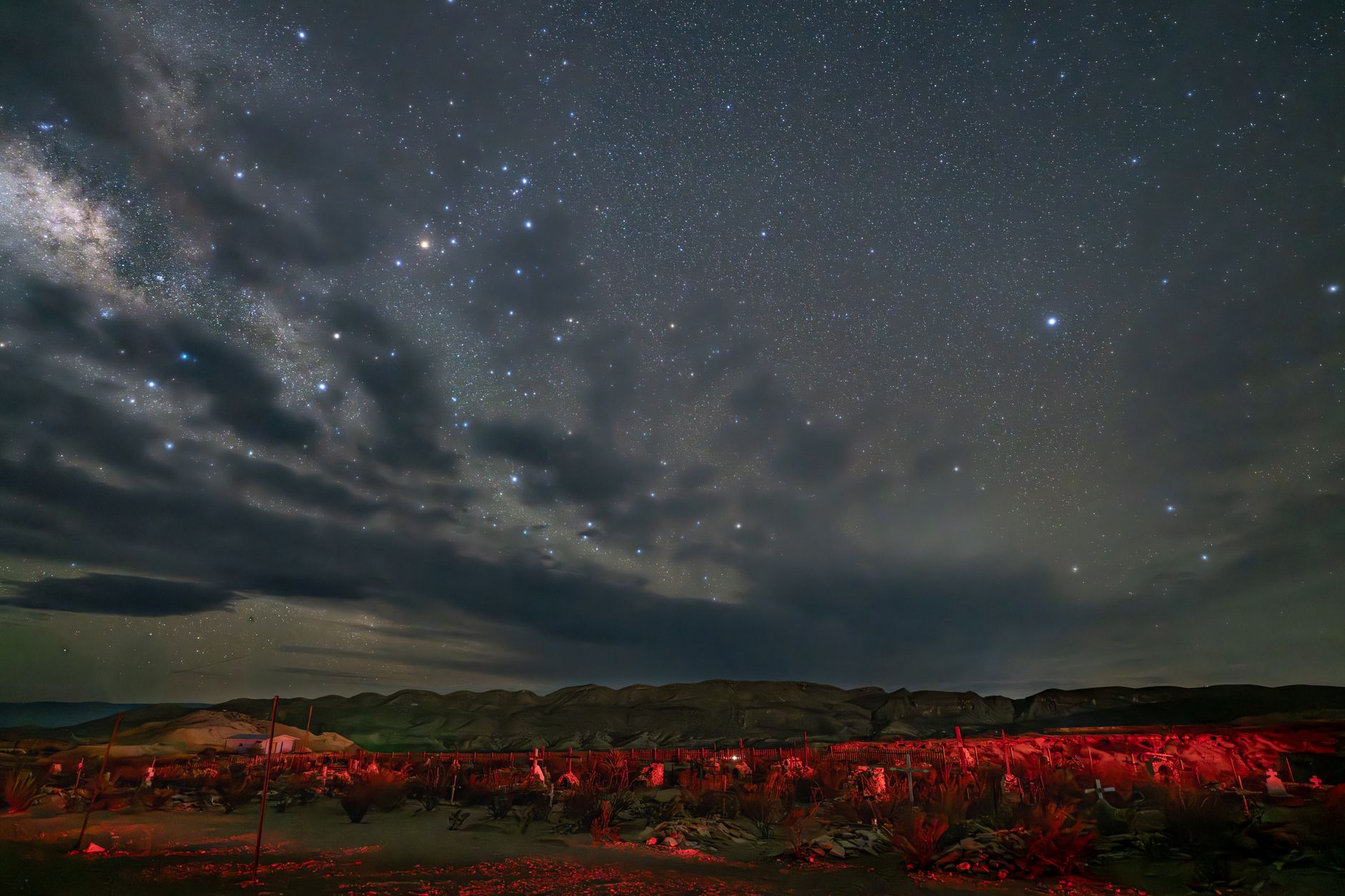
Winter is the park's sweet spot. Daytime highs in the 60s are comfortable for hiking; nights drop to the upper 30s and low 40s, requiring layers. Frost occurs at higher elevations; snow is rare but possible above 5,000 ft in December and January. Precipitation averages 0.4–0.5 inches per month. Clear, dry skies make this the best stargazing season—humidity is low, cloud cover minimal, and the Milky Way is vivid. Visitor numbers are manageable; the lodge and Chisos Basin Campground are more available than spring.
Trail accessibility is full year-round except Chisos Basin Road (closed for construction through late 2027/early 2028). Paved roads are open and passable. Campsites fill moderately on weekends. December brings the Geminid meteor shower (peak mid-month), visible from any dark location in the park.
Spring (March–May)
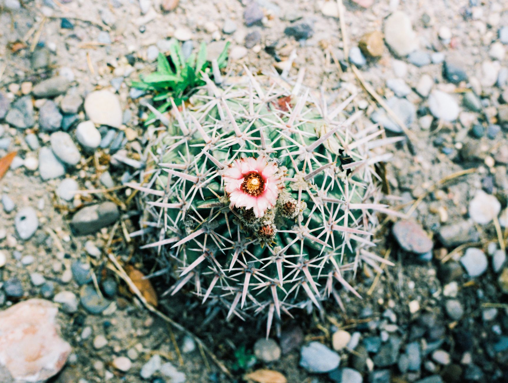
March kicks off with daytime highs in the mid-70s and the first wildflower blooms (desert marigold). By late April, the park peaks: cactus flowers, bluebonnets, and other species blanket the landscape. Migratory birds arrive in waves; peak birding runs late April through the first week of May. April is the busiest month with 50,000+ visitors; lodge and campgrounds book 6 months in advance and parking fills early on main trails (Lost Mine, Window, South Rim).
May marks the heat transition. Daytime highs jump to 89°F and continue climbing; afternoon thunderstorms increase. Critical closure: Chisos Basin Road closes May 1, 2026 for infrastructure work and remains closed through late 2027/early 2028. This eliminates access to Chisos Basin Lodge, Chisos Basin Campground, and all high-elevation Chisos trails. Plan accordingly: spring wildflower trips should target March–early April before the closure window.
Summer Heat & Monsoon (June–August)
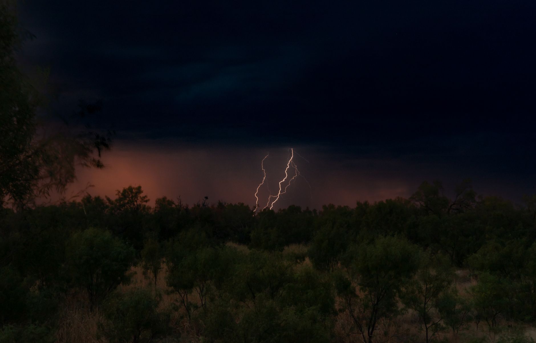
June begins extreme heat. Daytime highs exceed 100°F and climb past 105°F by July–August at lower elevations; the low desert near Rio Grande reaches 107°F regularly. Chisos Mountains offer modest relief (~10°F cooler) but the access road remains closed. Monsoon season (July–September, peak late July–August) brings afternoon thunderstorms, flash floods, and rapidly changing road conditions. Monthly rainfall jumps to 1.67–2.25 inches, concentrated in brief intense bursts.
Visitor numbers plummet. Most dirt roads (Glenn Springs Road, Old Maverick Road, Pine Canyon Road, River Road East/West, Route 16 to Santa Elena Canyon) close intermittently or remain restricted daily based on recent washouts. Only paved highways are reliably passable, but even these can flood. Desert hiking is largely suspended except pre-dawn to 8 a.m. River activities (float trips, canyon wading) gain popularity for heat relief. Flash flood risk is highest in canyons and low-lying areas. Check park road status before every drive.
Wildlife behavior shifts: javelinas become primarily nocturnal to avoid midday heat; black bears focus on water sources. Most accommodations and restaurants have availability. This season demands preparation and realistic expectations—it is not beginner-friendly.
Fall (September–November)
September is the transition month. Monsoon season peaks early, then rainfall and thunderstorms decline rapidly by mid-to-late September. Temperatures drop from highs near 100°F (early month) to the 80s by late month. Dirt roads reopen as maintenance crews repair washouts; most are fully passable by month's end. Peregrine falcons migrate through; fall bird migration is gradual but productive.
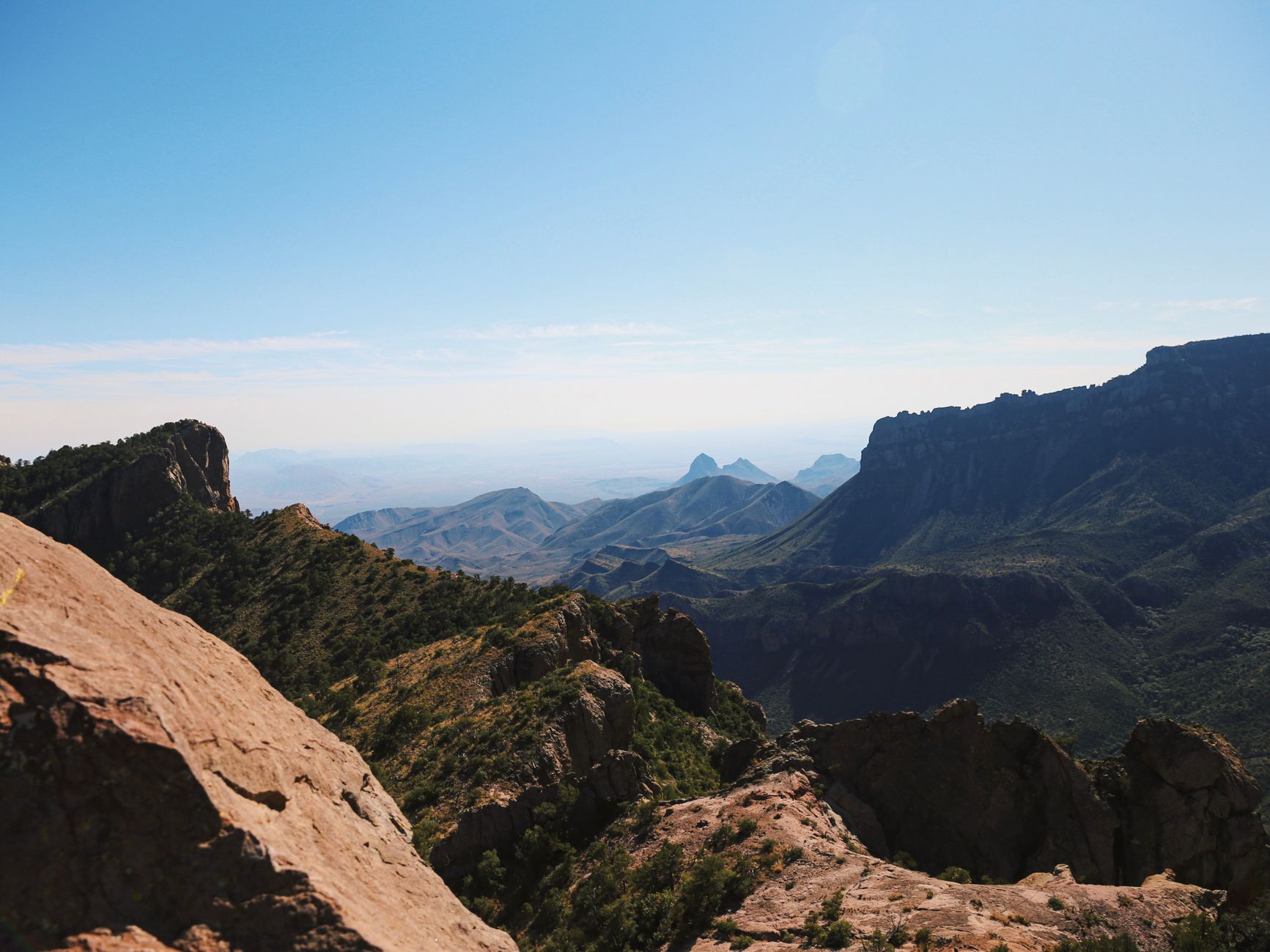
October and November bring nearly perfect conditions: daytime highs in the 80s–90s, mornings cool, humidity low, skies clear. Chisos Basin remains closed (construction ongoing) but all other areas are fully accessible. Black bears in the Chisos Mountains are in intensive fall feeding on berries and nuts—excellent wildlife viewing on accessible trails. Visitor numbers climb from summer lows but remain below spring chaos. Cottonwood Campground reopens November 1 (seasonal, closes May 31) and offers excellent riparian birding. November is consistently cited as one of the park's best months: mild weather, manageable crowds, and full trail access.
Road Status & Access Year-Round
Paved roads (main park loop, scenic drives to Santa Elena Canyon) are open and passable year-round except during heavy monsoon washouts (rare). Park entrances are open 24 hours daily. Chisos Basin Road is closed May 1, 2026 through late 2027/early 2028 for major infrastructure projects. This eliminates access to Chisos Basin Lodge, Chisos Basin Campground, and Lost Mine Trail, Emory Peak, and other high-elevation Chisos hikes.
Dirt roads have seasonal windows: Glenn Springs Road, Old Maverick Road, Pine Canyon Road, River Road (East & West), and Route 16 to Santa Elena Canyon are fully accessible October–April. During monsoon (July–September), these roads shift from passable to 4WD-only or fully closed based on storm activity, sometimes daily. Check current conditions before any dirt-road trip at 432-477-2251 or online.
Boquillas Crossing Port of Entry (Mexico border) is open Friday–Monday, 9:00 a.m.–4:00 p.m. year-round. Drones are prohibited park-wide. Pets are allowed only on roads where vehicles can drive; not on trails, in backcountry, or on the river.
Entrance Fees & Operating Hours
Big Bend National Park is typically open; you can enter and exit at any time of day or night. Entrance gates operate 24 hours daily, all year. The park does not observe seasonal closures.
Entrance fees (valid 7 days): $30 per private vehicle, $15 per person (walkers/cyclists), $25 per motorcycle. Commercial rates: $100–$200 depending on vehicle type. Annual America the Beautiful Pass ($80) covers all federal recreation sites. Pay at the gate (cash or card) or in advance online at recreation.gov.
Common Questions
When's the best time to visit Big Bend?
October–November or January–February. October offers perfect hiking weather (80s–90s), stargazing, and bear activity. November adds manageable crowds and reopened Cottonwood Campground. Winter (Dec–Feb) brings cold nights but brilliant stargazing. Avoid April unless you book 6 months ahead.
Can I visit in summer?
Yes, but with caveats. June–August bring 105°F+ heat, daily monsoon thunderstorms, flash floods, and many dirt roads closing daily. Desert hiking is restricted to pre-dawn hours (before 8 a.m.). River activities (float trips, canyon wading) are popular for heat relief. Most facilities and restaurants have availability. This is only for experienced desert visitors.
Why is Chisos Basin Road closed, and when does it reopen?
Major infrastructure projects closed the road May 1, 2026. Reopening is targeted for late 2027 or early 2028. Until then, access to Chisos Basin Lodge, campground, and high-elevation Chisos trails (Lost Mine, Emory Peak, South Rim) is unavailable. Plan spring wildflower trips to March–early April before the closure begins.
What causes dirt roads to close in summer?
Monsoon season (July–September) brings intense afternoon thunderstorms and flash floods. Roads wash out, sometimes reopening within hours, sometimes requiring days of repairs. The park updates road status daily during monsoon season. Check before every dirt-road trip at 432-477-2251.
Is cell service available in Big Bend?
Coverage is limited and unreliable. Panther Junction and Rio Grande Village have spotty service; remote areas and canyons have none. Plan as if you have no signal. Satellite messengers and emergency communication devices are recommended for backcountry trips.
Sources & Further Reading
- Big Bend National Park Weather — National Park Service
- Chisos Basin Access & Improvement Projects — National Park Service
- Monsoon Rainstorms and Road Conditions — National Park Service
- Stargazing & Night Skies at Big Bend — National Park Service
- Black Bears at Big Bend — National Park Service
- US Climate Normals 1991–2020 — NOAA National Centers for Environmental Information
- Big Bend National Park Official Site — National Park Service