Glenwood Dunes Trail (Alternate)
Last Updated: June 2026
Overview
About This Trail
Interconnected loop system ranging from under 1 mile to 6.8 miles with extensions exceeding 15 miles. Mostly easy to moderate—flat sandy terrain with only 129 feet elevation gain—but 13 trail junctions demand navigation discipline and a paper map. Popular with hikers, runners, horseback riders, and cross-country skiers. Year-round hazards: ticks, poison ivy, mosquitoes (especially summer). Sandy sections offer minimal shade and rapid dehydration risk.
Highlights
Difficulty Level
Easy to moderate
Trail Highlights
The payoff is cumulative: scenic overlooks of dune landscape, interconnected loops with diverse views, and wildlife viewing (deer, birds, seasonal migration). No single "Instagram moment"—rather a mosaic of sandy peaks, forested valleys, and open vistas. Real reward is vast wilderness proximity to Chicago. Fall colors peak in October.
Insider Tips
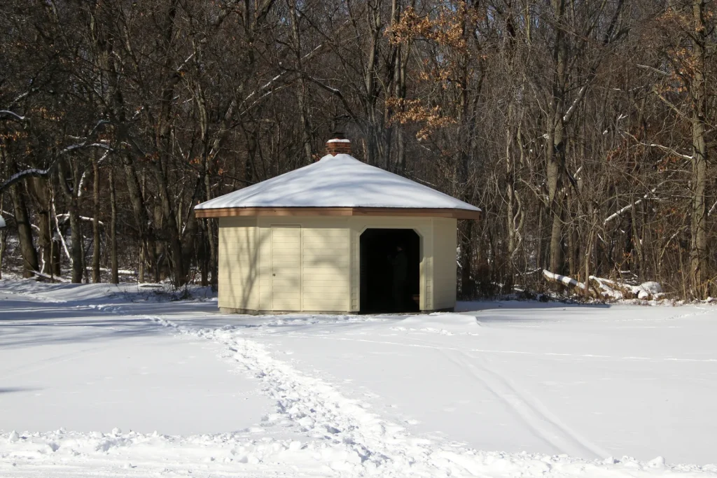
• The Glenwood Dunes Extension Trail (2.6 mi) connects to Dune Park South Shore Railroad station—check train schedules if planning a multimodal trip. Horses NOT allowed on extension. • Dunewood Trace Campground Trail (4.4 mi round-trip) links to Dunewood Campground with mid-hike restroom resupply. • The cut-off at the east end near Calumet Dunes Paved Trail avoids a road walk. • Covered picnic shelters at Glenwood Dunes lot are first-come, first-served and popular—arrive early. Grills provided; bring your own charcoal. • Cross-country skiers: optimal with 3-6 inches of consolidated snow. Wait a day after fresh snow for packing.
Best Season to Hike
May through October (stable weather, minimal snow). Horseback riding: March 16-December 14 (closed winter). Skiers: December-March (requires 3"+ snow).
Hiking Tips
- Bring a printed trail map—13 junctions are a navigation gauntlet without it.
- Carry 2+ liters of water; sandy terrain has no shade on exposed sections.
- Wear tick-protective clothing year-round (long pants, tucked shirt); check yourself post-hike.
- Hike counter-clockwise as mandatory for horseback riders and skiers—follow it to avoid conflicts.
- Start at Glenwood Dunes lot (US 20 & Brummitt Rd); parking fills by mid-morning on weekends.
- Arrive by 6am for guaranteed spot on busy days.
- Do not take the Glenwood Dunes Extension Trail if completing the main 6.8-mile loop (extension connects to railroad station; horses not allowed).
Family Info
Easy-to-moderate elevation makes it family-suitable, but navigation complexity (13 junctions) is a hazard for young children. Kids should stay close and be trained on trail awareness. Ground hazards: loose sand (ankle risk), ticks, poison ivy. Success: start early, bring extra water, pack snacks, and use a phone GPS app (AllTrails offline map) as backup to your printed map.
ℹ️ Data Sources
National Park Service YourNPGuide Editorial
Information is compiled from official sources, verified traveler reviews, and editorial research. Learn how YourNPGuide works →