Emory Peak Trail
Last Updated: June 2026
Overview
About This Trail
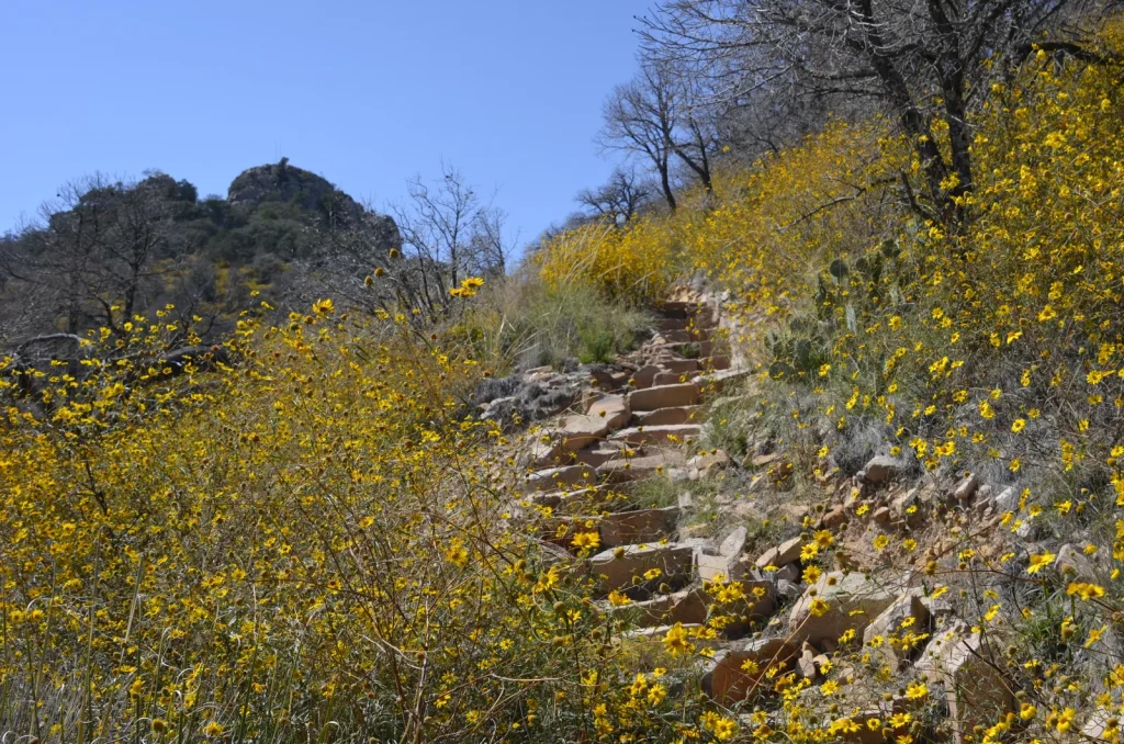
This is a 10.5-mile lung-buster to Big Bend's highest point with a technical finish. You'll ascend the forested Pinnacles trail for 3.8 miles, then tackle the exposed 1.4-mile Emory Peak trail. The last quarter-mile turns serious: a steep scramble up bare rock without rails—no room for error at altitude. The 360-degree summit view is your payoff, but the real battle is hydration in this scorching, dry climate.
Highlights
Difficulty Level
Strenuous
Trail Highlights
The 360-degree panorama from the highest point in Big Bend—you see across the entire park and into Mexico. The antenna on summit is part of the park's radio system, not clutter.
Insider Tips
• The false summit at mile 4.5 will trick you into thinking you're done—the real peak is 0.5 miles beyond it. • The scramble gets steep fast; don't rush the final pitch or you'll slip. • Start your climb by 6 AM to avoid afternoon thunderstorms on the exposed ridge. • The descent is harder on your knees than the ascent—take your time on loose rock. • Don't hike the last mile if clouds are building overhead; lightning on an exposed ridge is unforgiving.
Best Season to Hike
April–June and October–November
Hiking Tips
- Carry 1 liter of water per person per hour—the dry climate deceives you into sweating invisibly.
- Eat salty snacks to maintain electrolyte balance; salt loss is severe in dry heat.
- Wear sunscreen, a hat, and lightweight long sleeves—sun exposure is relentless.
- Tighten your boots before the scramble; loose laces cost you on rock.
- Don't attempt the last mile if storms are threatening, especially July–September.
- Make noise on the trail and maintain distance from wildlife; snakes are present.
- Don't stack rocks—false cairns mislead hikers off the true trail.
Family Info
The exposed rock scramble and 2,500-foot gain make this unsuitable for small children. Older kids (13+) with solid hiking experience and good fitness may succeed with close supervision and encouragement.
ℹ️ Data Sources
National Park Service YourNPGuide Editorial
Information is compiled from official sources, verified traveler reviews, and editorial research. Learn how YourNPGuide works →