 Trail
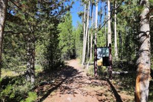
TrailAvalanche Peak Trailhead 5N2
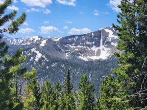
4.5-mile out-and-back; 2,100 ft gain. Relentless climb with a true summit payoff.
2,100 ft elev. gain
View details →

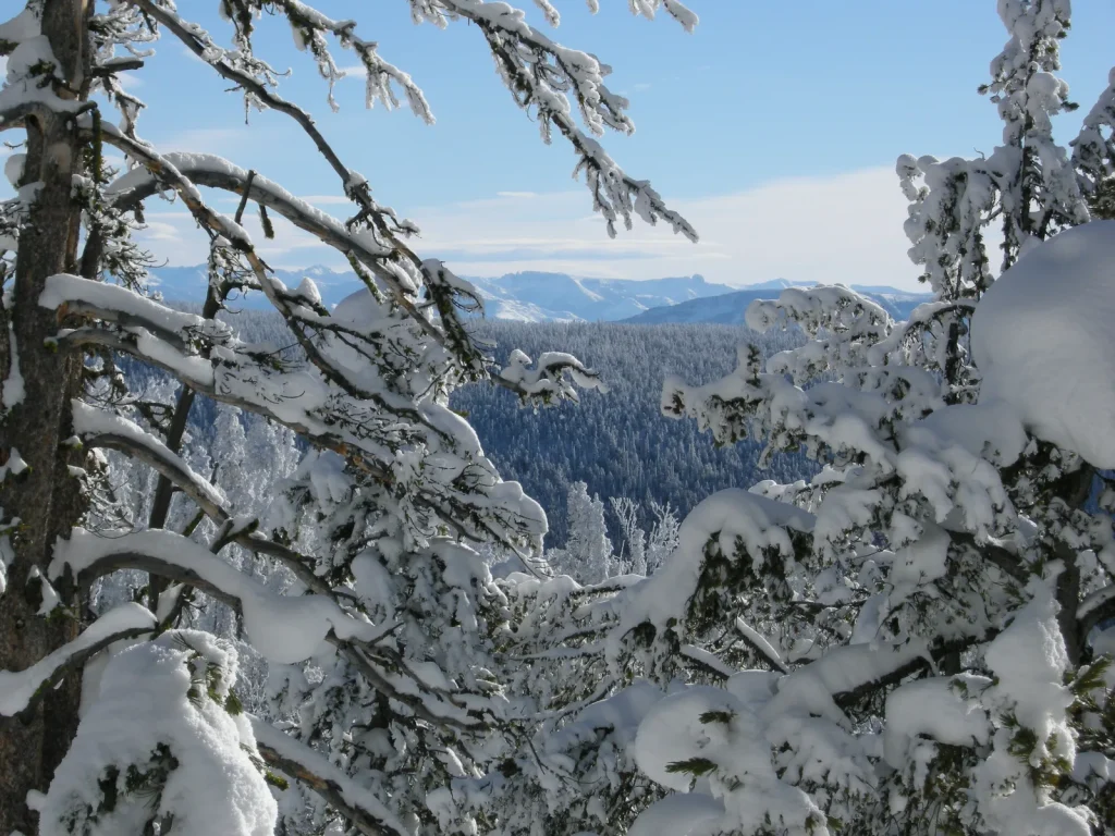
Pebble Creek Ski Trail is a 13-mile one-way backcountry ski route through unbroken snow with multiple stream crossings and steep terrain—expert skiers only. Elevation gain of 1357 feet demands serious fitness and winter mountaineering skills. This is expedition skiing, not resort recreation: overnight camping is standard, navigation requires map/compass, and stream crossings can disable in winter. Solitude and pristine winter landscape reward those prepared for true wilderness self-sufficiency.
Expert / Most Difficult
Pristine backcountry skiing through unbroken snow with panoramic views of Yellowstone's Northeast backcountry, forested glades, and mountain terrain. Reward is solitude, wilderness self-reliance, and views few visitors ever see.
• Stream crossings are the grit check. Scout before committing. • False ski tracks from previous parties may mislead; use map/compass as authority. • Start at dawn. Winter darkness at 4:30 PM means you need a 6-hour buffer. • Bison move predictably in winter; don't surprise them. • If you're breaking trail in fresh powder, plan for 50% slower speed. • Winter camping on unbroken snow demands deep anchor placement and wind discipline.
Winter (late winter to early spring for optimal conditions)
NOT family-friendly. Expert backcountry skiers only. Steep terrain, stream crossings, winter exposure, isolation, and wildlife hazards make this unsuitable for families, children, or inexperienced skiers. Overnight camping in winter is grueling and dangerous for the unprepared.
Experienced backcountry skiers praise the solitude and pristine snow conditions, but all emphasize: this is not for casual recreation. Avalanche risk, navigation demands, stream crossings, and winter exposure require serious preparation, fitness, and decision-making. One reviewer captured it: "Beautiful, brutal, humbling. Know your limits before you come here."
Free backcountry use permit required. Must be obtained in person from: Mammoth Hot Springs Visitor Center, Old Faithful Visitor Center, or West/South entrance stations. No phone reservations. Plan ahead and secure permit before departure. Check current snow and avalanche conditions with ranger.
No shuttle. Access via personal vehicle to Northeast Entrance Road trailhead north of Pebble Creek Campground.
Trail includes multiple stream crossings—ice-covered or flowing—that are foot-numbing in winter. Steep descents demand precise ski technique or crashing is likely. Navigation through unbroken snow requires map, compass, and GPS; inexperienced route-finding can lead to cliffs or gullies. Bison and elk frequent this area; federal law requires 25 yards minimum distance. Bears and wolves require 100 yards. Winter exposure—no shelter, limited daylight—means one mistake (injury, lost route, gear failure) can trigger hypothermia in hours. No cell service. Emergency response in winter backcountry is slow or impossible.
Rooty, steep, and extremely technical. Unbroken snow with multiple stream crossings and 1357 feet elevation gain over 13 miles. This trail is not accessible to casual or intermediate skiers. Expert-level skiing, backcountry navigation, and winter mountaineering skills are non-negotiable.
NOT family-friendly. Expert backcountry skiers only. Steep terrain, stream crossings, winter exposure, isolation, and wildlife hazards make this unsuitable for families, children, or inexperienced skiers. Overnight camping in winter is grueling and dangerous for the unprepared.
Pebble Creek Campground (nearest; 15+ miles). Mammoth Hot Springs area: visitor center, ranger station, limited winter services (15 miles). Tower Ranger Station (18 miles). Northeast Entrance: minimal services. Most services are seasonal and winter hours are limited.
Experienced backcountry skiers praise the solitude and pristine snow conditions, but all emphasize: this is not for casual recreation. Avalanche risk, navigation demands, stream crossings, and winter exposure require serious preparation, fitness, and decision-making. One reviewer captured it: "Beautiful, brutal, humbling. Know your limits before you come here."
" Experienced backcountry skiers praise the solitude and pristine snow conditions, but all emphasize: this is not for casual recreation. Avalanche risk, navigation demands, stream crossings, and winter exposure require serious preparation, fitness, and decision-making. One reviewer captured it: "Beautiful, brutal, humbling. Know your limits before you come here.""
Yes. Bison and elk also frequent this area year-round. Federal law requires 100 yards minimum distance from bears and wolves, 25 yards from bison and other wildlife. Make noise, carry bear spray, travel in groups, and avoid sudden encounters. Winter means fewer active bears, but don't assume safety.
Yes. Expert-level backcountry skis, insulated boots rated for -20°F, full winter camping kit (4-season tent, rated sleeping bag -10°F+, closed-cell foam pad), topographic map, compass, GPS, avalanche transceiver, multiple insulating layers, 3L water capacity, 2-3 days of high-calorie food, first-aid, repair kit. This is not a day-pack trail.
Only experienced parties in late winter/early spring with ideal snow and avalanche conditions. Most visitors require overnight camping. Start at dawn, be off the mountain by 3 PM to avoid skiing in darkness. Margin for error is zero.
Bring map, compass, and GPS—use all three. No cell service. If you cannot navigate confidently with a topo map in winter conditions, do not go. Mark your route so you can retrace. Backcountry means self-rescue.
Free, but in-person only. Available from Mammoth or Old Faithful visitor centers, or West/South entrance stations. Plan ahead—winter season is busy among expert skiers. No phone reservations or walk-ins guaranteed during peak periods.
Underestimating the length and commitment. Route-finding errors, starting too late and skiing in darkness, and overestimating their winter mountaineering skills. Respect the terrain or it will break you.
Highly recommended. This trail includes steep terrain where avalanche risk exists in certain snow conditions. Check the avalanche forecast with rangers. If there's any slope steeper than 30 degrees in your planned route, carry transceiver, shovel, and probe.
6 listings
4 listings
Information is compiled from official sources, verified traveler reviews, and editorial research. Learn how YourNPGuide works →
Notifications