 Trail
TrailAvalanche Peak Trailhead 5N2
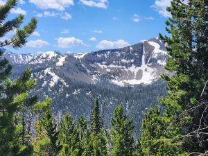
4.5-mile out-and-back; 2,100 ft gain. Relentless climb with a true summit payoff.
2,100 ft elev. gain
View details →

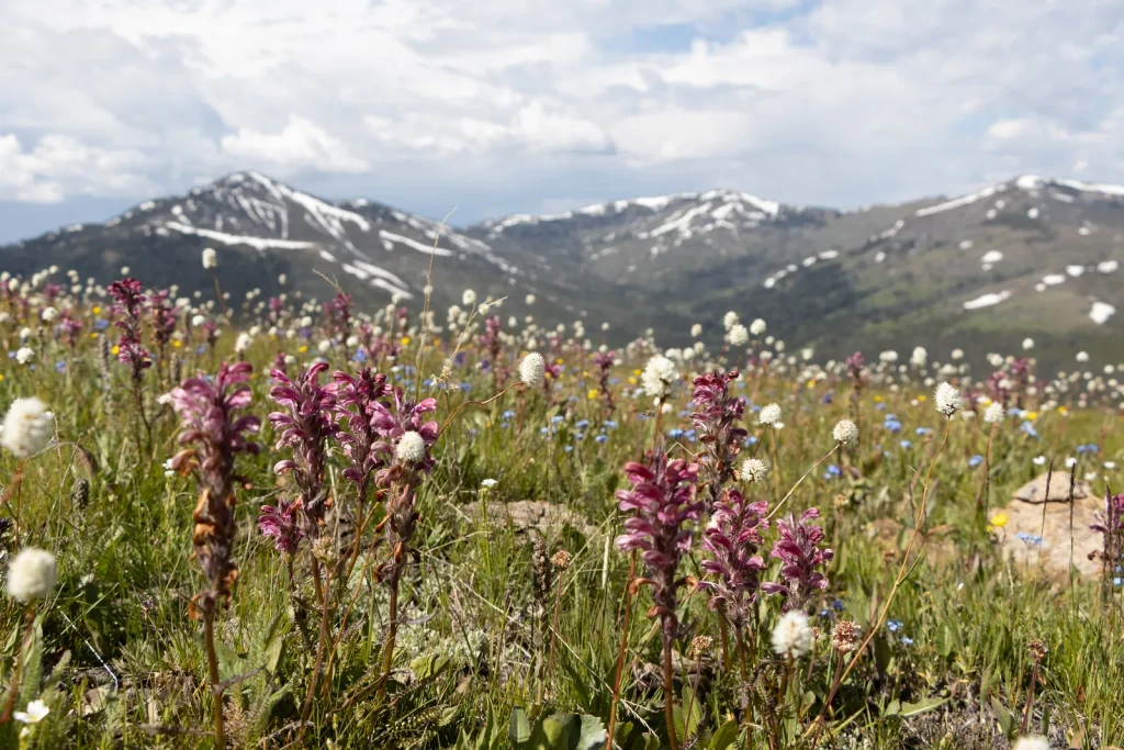
This moderately strenuous 5.8-mile round-trip climbs 1,400 feet on a wide, well-graded road to Mount Washburn's 9,859-foot summit. The payoff is sweeping panoramic views across Yellowstone and an interpretive shelter at the peak. Expect bighorn sheep and alpine wildflowers, but zero water—this is a pure hydration carry. Not suitable for those with heart/respiratory issues; safer as a group of 3+ with bear spray during fall season.
Moderately strenuous
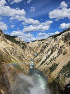
Shortest route to Mount Washburn's summit with sweeping panoramic views across the Grand Canyon of the Yellowstone, Lamar Valley, and distant mountain ranges. Interpretive shelter at the summit provides context and weather protection.
• The false summit at Mile 2.5 will fool you—keep going; true summit is 0.4 miles further • Park by 7 AM or plan to hike at dawn; parking fills by 8 AM July-August • Service vehicles and bicyclists use this road; stay right and be audible • The interpretive shelter at the summit is your only protection from weather; use it if storms threaten • Bighorn sheep favor grassy areas near Mile 1 and Mile 2; approach quietly, stop 30 meters away • Wildflowers peak mid-July; if you see whitebark pine cones, bears are feeding nearby—turn back • Trekking poles are essential for descent; reduce knee impact significantly
Mid-July to mid-September for optimal conditions; snow clears, bears less active early summer
The steady incline is deceptive—children underestimate the effort. Supervision mandatory above treeline due to drop-offs. Kids under 10 need proven hiking experience; 3+ hours at altitude challenges younger hikers. Hand-holding required on final 0.5 miles near summit. Carry plenty of water and snacks; this is not a casual walk.
Hikers consistently report the steady incline is harder than expected—the wide road is deceiving. Most complete it in 4-5 hours with moderate fitness. The payoff of summit views and wildlife sightings justifies the effort, but the lack of water and bear presence demand respect and preparation.
No permits required; free day-use trail with paid park entrance
No shuttle available; drive directly to trailhead parking area on Chittenden Road
Lightning is the primary threat above treeline during afternoon thunderstorms—this area is struck regularly in summer. Grizzlies seek whitebark pine nuts in fall; mandatory group of 3+, bear spray required. Final 0.5 miles have exposed drop-offs on both sides of road—hand-holding mandatory for children. Sun exposure at altitude is intense; sunburn and dehydration happen fast.
Wide, well-graded road surface but relentless 1,400-foot gain and no water. Not wheelchair accessible. Explicitly not recommended by NPS for those with heart or respiratory issues.
The steady incline is deceptive—children underestimate the effort. Supervision mandatory above treeline due to drop-offs. Kids under 10 need proven hiking experience; 3+ hours at altitude challenges younger hikers. Hand-holding required on final 0.5 miles near summit. Carry plenty of water and snacks; this is not a casual walk.
Canyon Campground (5 miles south); Canyon Visitor Center with water, restrooms, and bear information (5 miles south); limited services at Canyon Village
Hikers consistently report the steady incline is harder than expected—the wide road is deceiving. Most complete it in 4-5 hours with moderate fitness. The payoff of summit views and wildlife sightings justifies the effort, but the lack of water and bear presence demand respect and preparation.
" Hikers consistently report the steady incline is harder than expected—the wide road is deceiving. Most complete it in 4-5 hours with moderate fitness. The payoff of summit views and wildlife sightings justifies the effort, but the lack of water and bear presence demand respect and preparation."
No. Bears frequent Mount Washburn in fall seeking whitebark pine nuts. Mandatory group of 3 or more. Hike solo in spring/early summer at higher risk—carry bear spray and make noise constantly.
Zero. Carry 3+ liters minimum. This is a dry-carry mission. Plan hydration strategy before starting; dehydration + altitude = failure.
No. The gradient is relentless, and your mind will convince you to turn back at Mile 2.5 (false summit). The real summit is 0.4 miles beyond. Experienced hikers report the effort is steeper than advertised.
Yes, especially September-October. Groups of 3+, bear spray mandatory, make noise. Spring/early summer is safer but never zero-risk in bear country.
High above treeline. Afternoon thunderstorms are common June-August. Turn around if storms approach. Summit and descend before noon to avoid afternoon weather systems.
NPS explicitly recommends against this trail for those with heart/respiratory problems. Altitude + relentless gain = high cardiac stress. Choose lower alternatives like Fountain Paint Pot or Artists Paintpots.
Yes. The descent is punishing on knees. Poles reduce impact by 25%; use them downhill.
6 listings
4 listings
Information is compiled from official sources, verified traveler reviews, and editorial research. Learn how YourNPGuide works →
Notifications