Signal Mountain Trail
Last Updated: June 2026
Overview
About This Trail
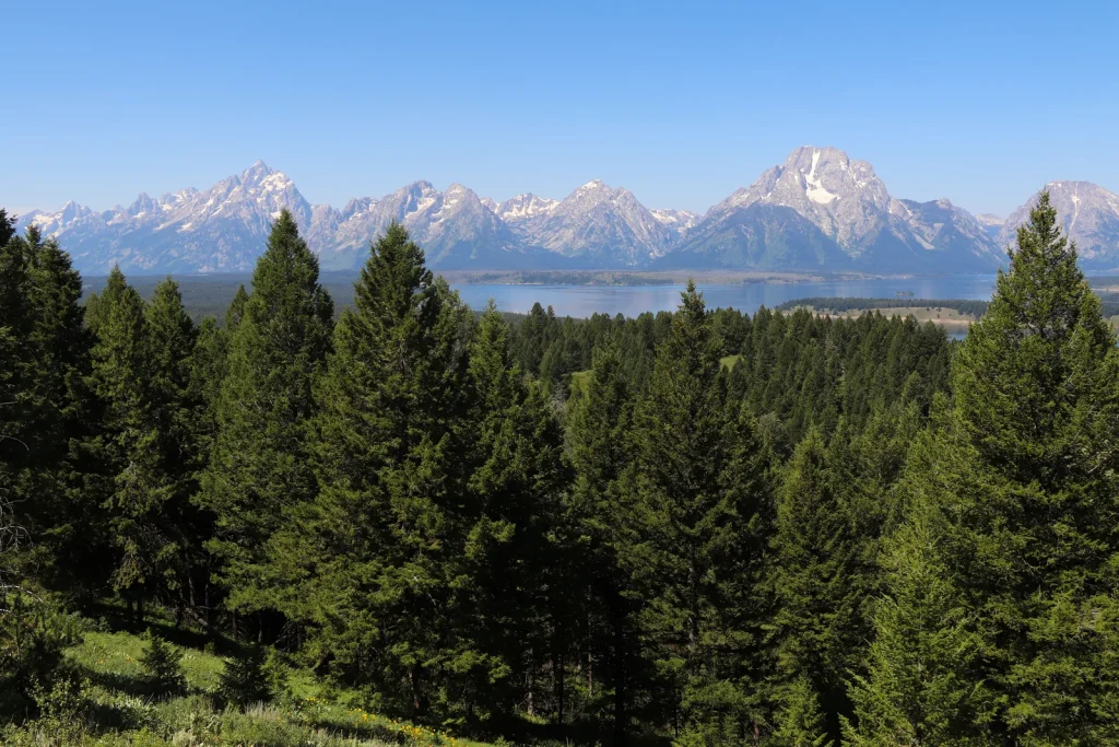
Signal Mountain Trail is a 6.7-mile out-and-back moderate hike with 980 feet of elevation gain that will test your legs but deliver panoramic payoff. The narrow, root-laden path winds relentlessly upward through forest cover before opening to the summit, where you'll stand above Jackson Hole with the Teton Range sprawled across your view. Expect 3 to 5 hours depending on fitness and photo stops; the descent is technical and unforgiving. This is not a casual forest walk—it's a grit builder.
Highlights
Difficulty Level
Moderate
Trail Highlights
Summit views of the Teton Range and Jackson Hole valley. This is a legitimate payoff—the panorama justifies every root and every switchback.
Insider Tips
• The false flat at mile 3 will trick you into thinking you're near the top—you're not. Keep pushing. • The real payoff isn't the final 0.1 miles to the absolute summit; stop at the main vista platform and save energy for the descent. • Early morning light hits the Tetons perfectly around 7:30–8:30 AM. • Descending in harsh midday sun is brutal; plan accordingly. • Hikers underestimate the rooty sections; poles prevent knee destruction on the way down.
Best Season to Hike
Summer and Fall
Hiking Tips
- Tighten your boots—the descent is steep and rooty; loose footwear invites twisted ankles.
- Carry a minimum 2L of water; no sources on trail.
- Trekking poles are not optional—they absorb impact on the way down.
- Start early; the climb gets brutally exposed in full sun.
- Make noise (especially early season)—bears use these slopes.
- Scout the descent in daylight; don't push past 2 PM if you're slow.
- Sunscreen and a hat are non-negotiable at elevation.
Family Info
Older kids (10+) in good fitness condition can do this. The 980 ft elevation gain is real—younger or less fit children will struggle. Exposed roots on descent are a fall hazard; supervision mandatory. Keep hands available for balance on technical sections.
ℹ️ Data Sources
National Park Service YourNPGuide Editorial
Information is compiled from official sources, verified traveler reviews, and editorial research. Learn how YourNPGuide works →