12 Best Family-Friendly Hikes in Great Smoky Mountains National Park
Family-friendly trails for all ages—from streamside strolls to moderate waterfall hikes.
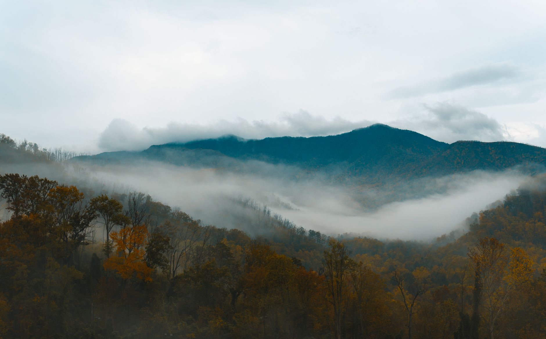
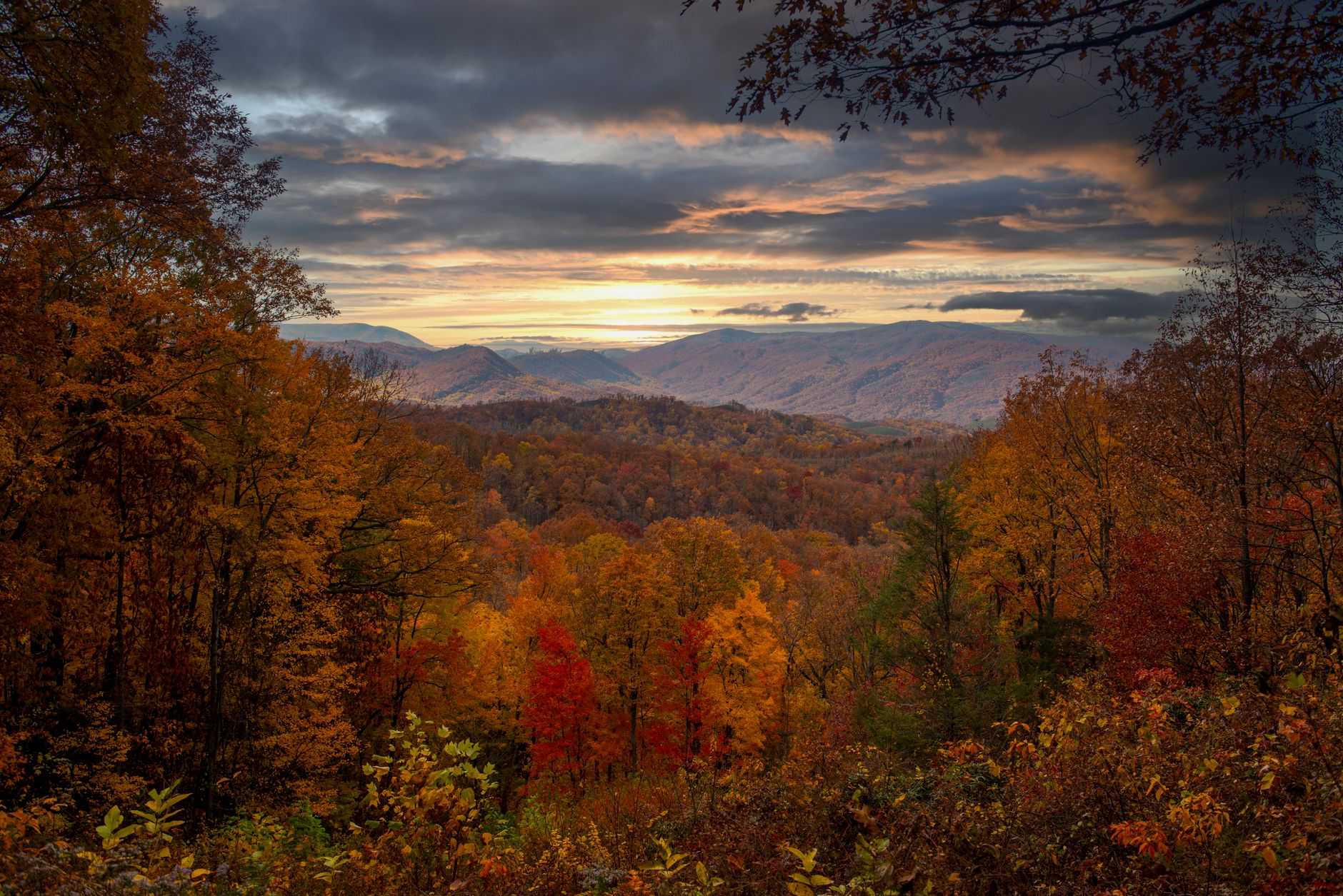
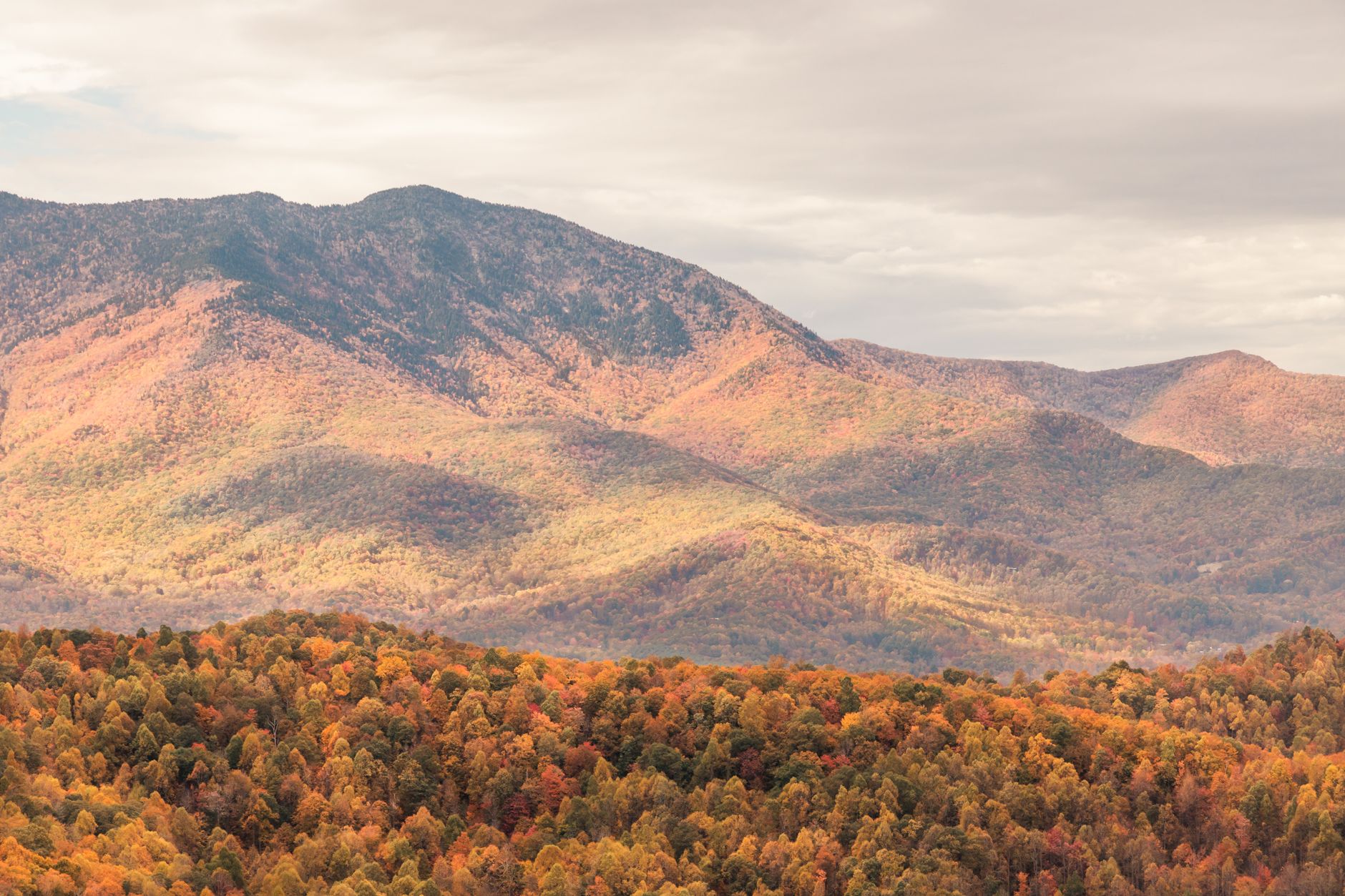
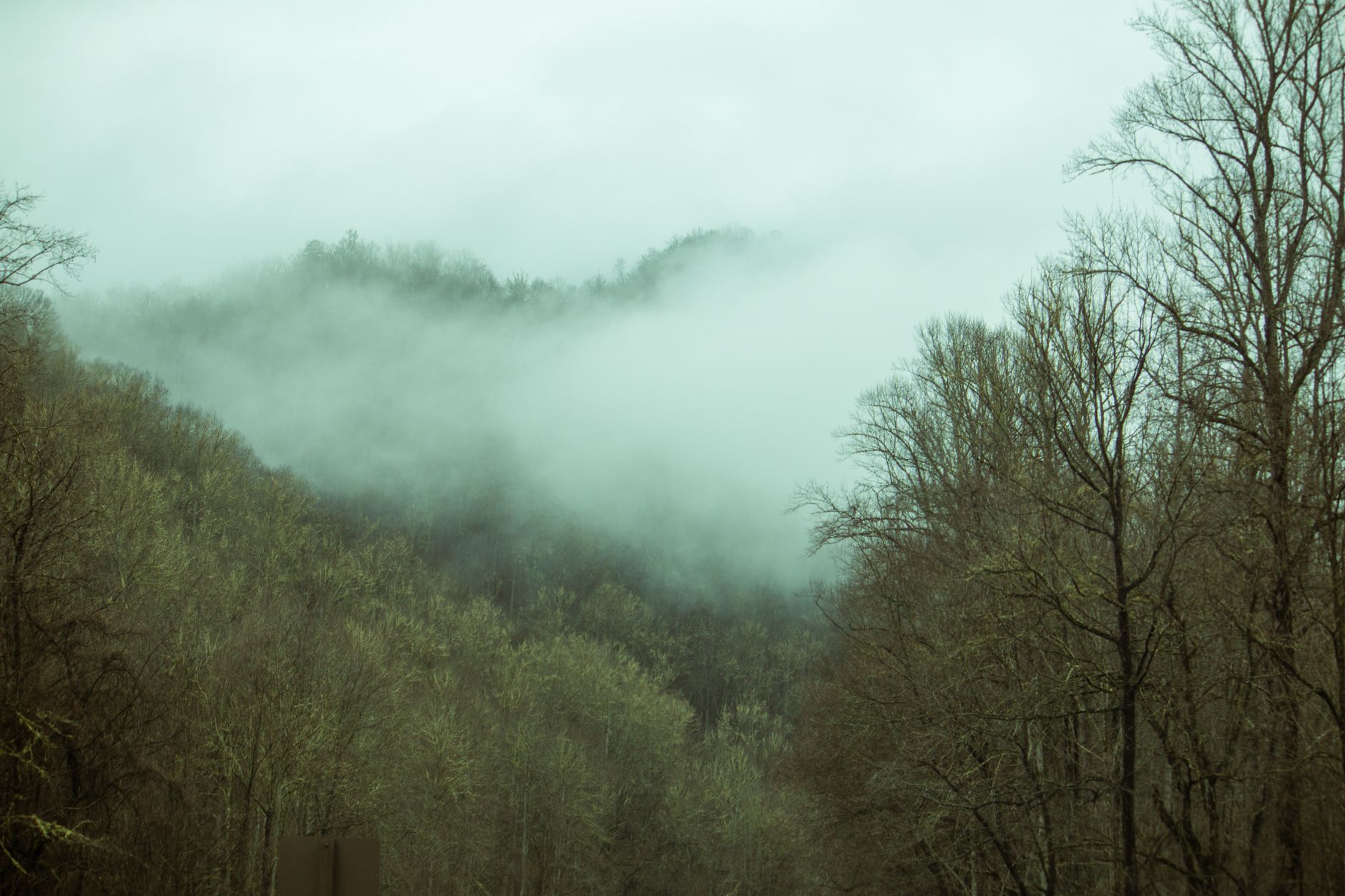
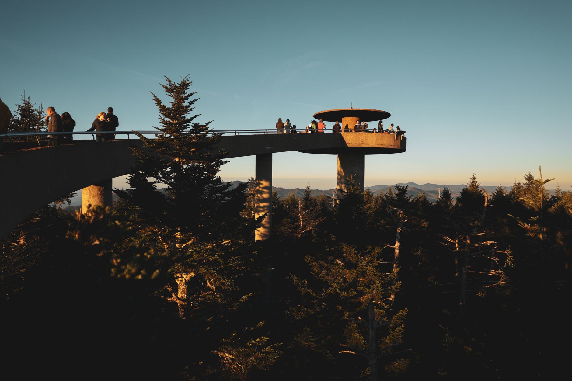
Great Smoky Mountains straddles Tennessee and North Carolina with forested ridges, cascading streams, and some of the most accessible backcountry in the East. The park's lower-elevation trails offer reliable water crossings, moderate grades, and year-round wildlife viewing—ideal for families.
- Free Park entry
- 24/7 Primary road access
- 59°F October high
- Year-round Operating season
Sugarlands Valley Nature Trail — Main Park Entrance
The only fully paved and accessible trail in the park—perfect for strollers and wheelchairs.
- Paved loop with no steps or obstacles
- Little Pigeon River wading in summer months
- Half-mile roundtrip, under 30 minutes total
- Riverside forest with historic stone chimneys
BEST FOR STROLLERS
This is the park's only fully paved and fully accessible trail. A half-mile loop with just 19 feet of elevation gain, it's passable year-round for wheelchairs, strollers, and walkers. Little Pigeon River runs alongside the path.
SUMMER WADING
July through August, shallow spots along the river warm enough for safe wading. Kids can play in water 1–2 feet deep while you stay on the trail.
LOGISTICS
Located on US 441 near Sugarlands Visitor Center. Parking fills early on summer weekends; arrive by 9 AM or visit spring/fall.
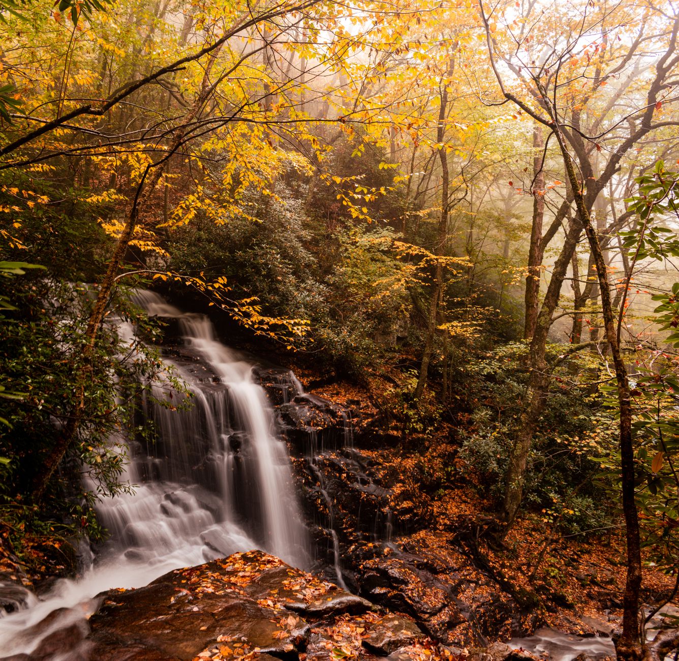
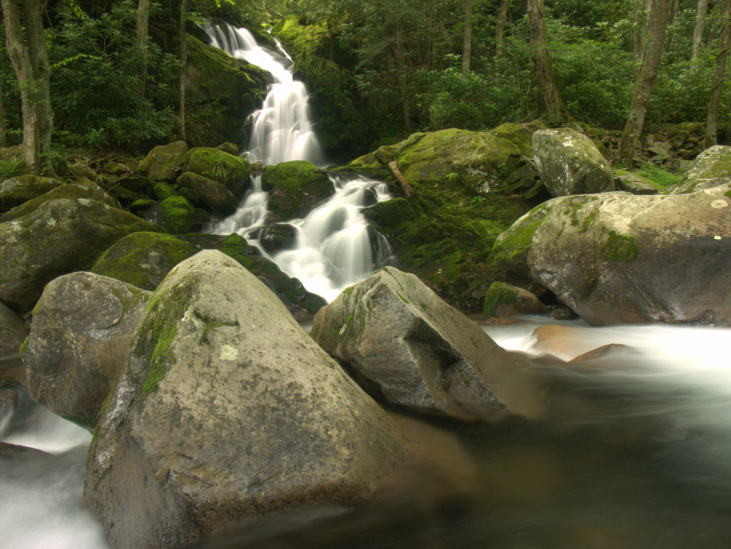
Cataract Falls Trail — Cades Cove
One of the park's shortest waterfall hikes—a flat, easy mile to a 25-foot cascade.
- 25-foot waterfall with cascading tiers
- Flat, well-maintained trail, minimal elevation gain
- One-mile roundtrip, perfect for age 5+
- Popular for first hiking experiences
TRAIL CONDITIONS
A flat, well-maintained path through forest to a 25-foot waterfall in about 30 minutes. Rock obstacles and root sections don't slow most kids down. The trail stays mostly shaded.
WHO SHOULD DO IT
Perfect first waterfall hike for kids ages 5+. Older elementary kids cruise this in 45 minutes round-trip. Families with very young children should be prepared for the return walk uphill—though it's minimal, fatigue can set in.
ACCESS & PARKING
Trailhead is near Cades Cove Loop Road, past stop #10. Parking can get tight on weekends in peak season; arrive by 8 AM or visit shoulder months (April, October).
Oconaluftee River Trail — Cherokee/South Entrance
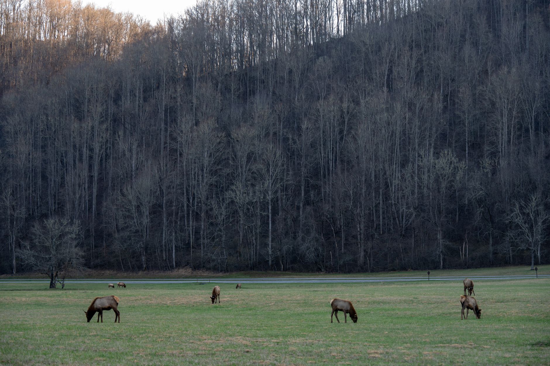
A flat, riverside walk through elk habitat with wildlife spotting and bike-friendly pavement.
- 3-mile flat out-and-back, zero elevation gain
- Gravel path friendly for strollers and bikes
- Elk viewing early morning and dusk
- Pet-friendly trail (leashed dogs okay)
THE WALK
A graveled, almost-flat path alongside Oconaluftee River from the visitor center toward Cherokee, NC. No scrambling or roots to navigate. Dogs on leash are welcome, and the trail accommodates strollers and bikes comfortably.
WILDLIFE & TIMING
Elk were reintroduced to this area and now graze the grasslands alongside the trail. Early morning (sunrise to 9 AM) and late afternoon (5 PM onward) offer the best viewing. Keep 50 yards clear and move quietly past herds.
ACCESS
Starts at Oconaluftee Visitor Center, 2 miles south of the US 441/US 19 junction on the park's south side. Ample parking. Open year-round.
Grotto Falls Trail — Sevier County/Gatlinburg
The park's only waterfall you can walk behind—a 25-foot cascade with a natural alcove.
- Walk directly behind a 25-foot waterfall
- Stream crossing and forest canopy coverage
- 2.6 miles roundtrip, moderate climb for older kids
- Connects to Trillium Gap Trail for longer hikes
THE FEATURE
Grotto Falls is the only waterfall in the park where you can walk directly behind the cascade. A 25-foot drop creates an alcove; the trail passes through behind the curtain of water. The mist and cool spray make this a refreshing hike on hot summer days.
ROUTE & KIDS
A 2.6-mile roundtrip with 524 feet of elevation gain. Older elementary kids (ages 8+) with some hiking experience can manage this. Stream crossings on footbridges add character. Expect 1.5 to 2 hours to the falls and back.
LOGISTICS
Trailhead on Newfound Gap Road, south of Sugarlands Visitor Center. The trail forks—Grotto Falls is well-marked. Parking fills by 10 AM in summer; arrive early or visit April or October.
Cove Hardwood Nature Trail — Sugarlands/Gatlinburg
A short educational loop through one of Earth's most biodiverse forests—cove hardwoods packed with forest giants.
- Biodiverse cove hardwood forest ecosystem
- Self-guided brochure identifies trees and plants
- Three-quarter mile loop with songbirds
- Seasonal wildflowers and stream access
THE FOREST TYPE
Cove hardwood forests are among Earth's most biodiverse temperate ecosystems. This loop passes through towering hemlocks, buckeyes, and hickories—some 400+ years old. A self-guided brochure (pick one up at the trailhead) identifies dominant species.
WHAT TO EXPECT
A three-quarter mile loop with stairs, roots, and rocks. Elevation gain of 239 feet won't crush younger hikers, but it requires steady climbing. Spring brings wildflowers; year-round you'll hear songbirds. Streams cross the trail—listen for rushing water.
ACCESS
Trailhead at Chimneys Picnic Area on Newfound Gap Road (US 441), north of Sugarlands Visitor Center. Parking is usually available; arrive by midday in summer.
Spruce Flats Falls Trail — Tremont/Townsend
A short hike to a tiered 30-foot waterfall—a hidden gem on the park's western side.
- 30-foot waterfall in four tiers
- Well-marked despite not on official park maps
- Easy trail with rocky sections and pool
- Quiet alternative to crowded waterfall hikes
WHY IT'S HIDDEN
Spruce Flats Falls doesn't appear on official NPS maps, yet it's well-marked and popular with locals. The 30-foot waterfall cascades in four tiers into an emerald pool. Much quieter than Abrams or Grotto.
ROUTE
A 1.4-mile roundtrip with 460 feet of elevation gain. Rocky terrain requires some scrambling, but the trail is short enough that most kids push through. The pool at the base offers a refreshing end point on hot days.
ACCESS & DIRECTIONS
From Townsend 'Y' (Routes 321 and Laurel Creek Road junction), head west on Laurel Creek toward Cades Cove. About 0.2 miles from the 'Y', turn left toward the Great Smoky Mountains Institute at Tremont. Follow signs to Lumber Ridge parking.
Abrams Falls Trail — Cades Cove
A classic dog-friendly waterfall hike to a popular 25-foot drop—rocky creek bed adds character.
- 25-foot waterfall over rocky cliff
- Dog-friendly trail, great for pups on leash
- 5.1 miles roundtrip, popular and well-maintained
- Abrams Creek and boulder fields
THE HIKE
A 5.1-mile roundtrip along Abrams Creek to a 25-foot waterfall. The trail is well-maintained and popular—expect crowds on weekends. Tree roots and rocks create obstacles, especially near the creek. Kids ages 8+ can handle the elevation gain (646 feet).
DOG-FRIENDLY NOTES
This trail welcomes dogs on leash. The rocky creek bed and boulder obstacles challenge paws; consider booties for sensitive dogs. Water crossings mean your pup will get wet. Most dog owners turn back earlier than the falls if their dog tires.
WILDLIFE & ACCESS
Black bears and deer inhabit this area; keep dogs close and food secured. Trailhead is past stop #10 on Cades Cove Loop Road. Parking fills fast in summer; arrive by 7 AM or visit spring/fall.
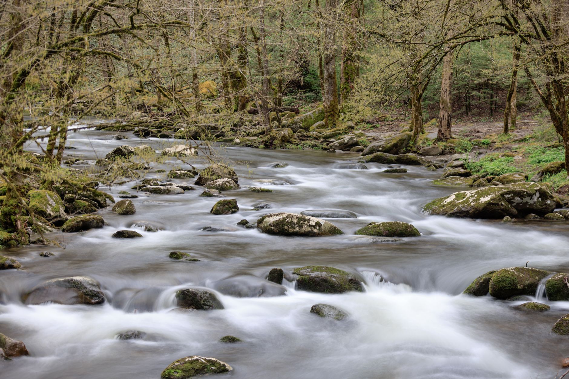
Porters Creek Trail to Fern Branch Falls — Greenbrier/East Entrance
A moderate hike through history to a 60-foot waterfall, with 1875 barns and wildflower meadows.
- 60-foot Fern Branch Falls waterfall
- Historic 1875 barn, cemetery, and stone walls
- Spring wildflowers blanket the trail
- 4 miles roundtrip, moderate climb
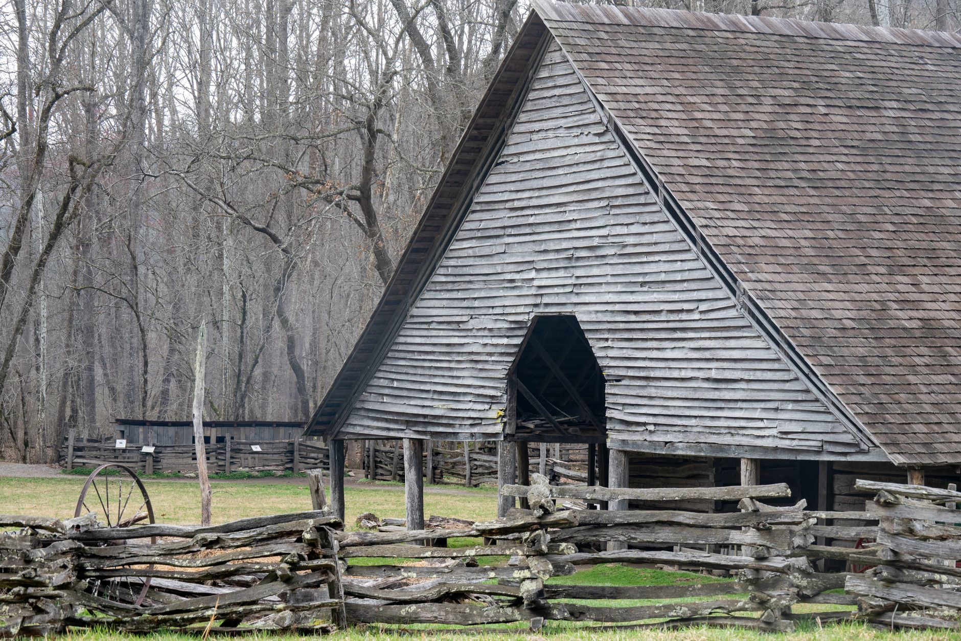
HISTORY & NATURE
This trail runs along an old gravel road then transitions to dirt. You'll pass a 1875 barn, cemetery, and stone walls—remnants of pre-park settlement. The 60-foot Fern Branch Falls reward the hike. Spring wildflowers (especially April–May) blanket meadows.
THE ROUTE
Four miles roundtrip with 699 feet of elevation gain. The initial gravel road section is easy; the footpath climb steepens after the first mile. Suitable for kids 8+ with regular hiking experience. Stream crossings add adventure.
ACCESS & TIMING
From Gatlinburg, take Routes 441/321 east 6 miles, turn right into Greenbrier, then drive 3.1 miles on gravel road to the trailhead. Spring (April–early May) is peak season for wildflowers; fall offers solitude. Parking is small; arrive early.
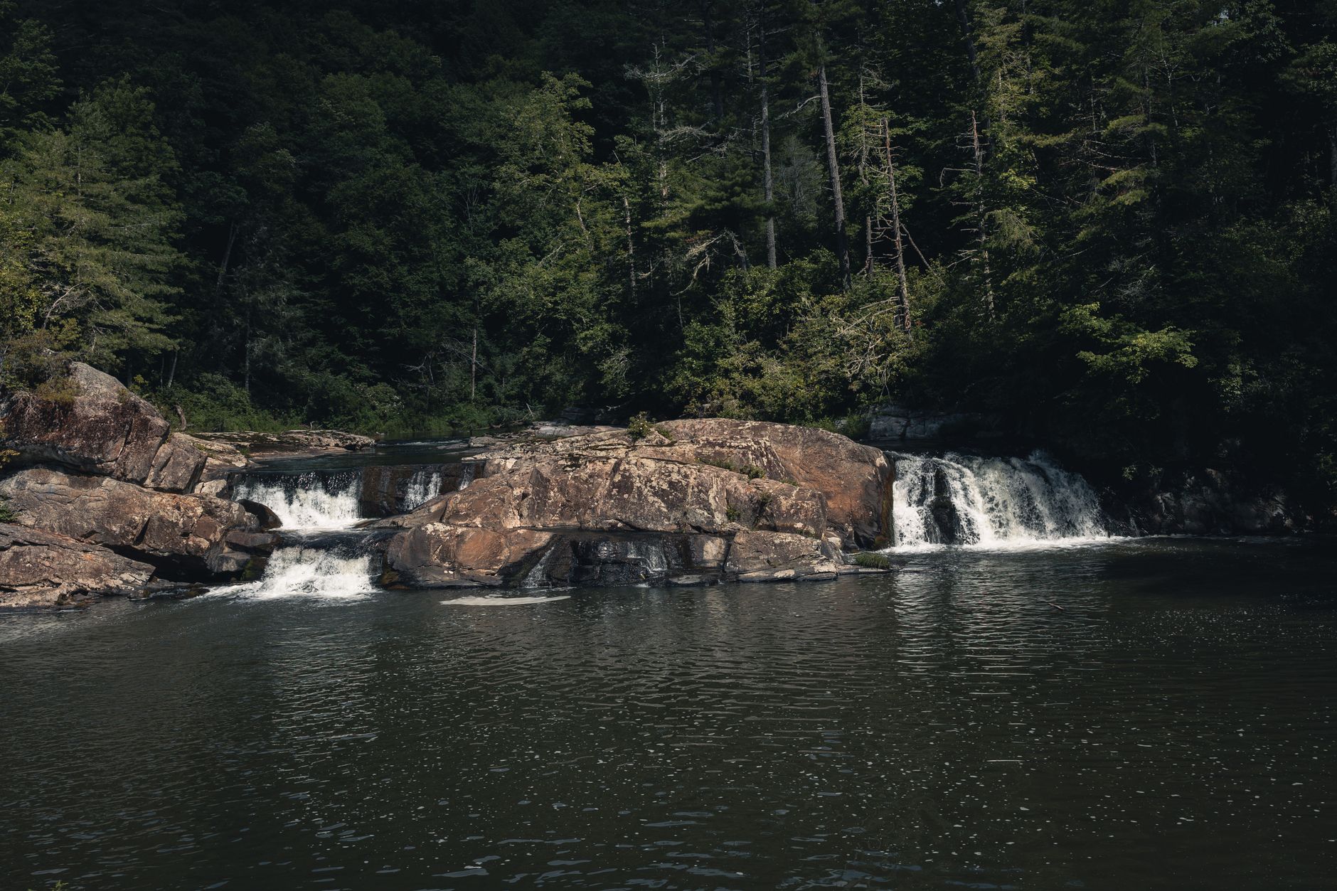
Mouse Creek Falls via Big Creek Trail — Big Creek/I-40 Corridor
A moderate trail along historic railroad grade to a 45-foot waterfall and Midnight Hole swimming pool.
- 45-foot Mouse Creek Falls waterfall
- Midnight Hole 6-foot drop and emerald pool
- Historic 1900s logging railroad grade
- 4.2 miles roundtrip, wildflowers and rhododendron
THE FEATURES
At 1.5 miles, you reach Midnight Hole—a 6-foot waterfall flowing into an emerald-green pool surrounded by boulders. Continue another mile to 45-foot Mouse Creek Falls. The trail follows an old railroad grade built in the early 1900s, adding historical texture.
SUMMER SWIMMING
Midnight Hole is a perfect turnaround for families with young kids or a halfway point for adventurers. Water temps in late summer (~65°F) make swimming tolerable. Kids can wade and play in the pool safely while adults supervise.
ACCESS & DIRECTIONS
From I-40 at the TN–NC border (Exit 451, Waterville Road), drive 3 miles on gravel to the Big Creek Trailhead. Black bears and deer are common; keep dogs close and food secured. Parking is limited; arrive early or visit weekdays.
Alum Cave Trail — Newfound Gap Road Corridor
A scenic climb with Arch Rock tunnel and Inspiration Point views—geological features and heath balds.
- Arch Rock natural stone arch tunnel
- Inspiration Point heath bald with panoramic views
- Geological formations and mountain vistas
- 4.4 miles roundtrip, moderate challenge
GEOLOGY & FEATURES
At 1.3 miles, you pass through Arch Rock—a natural stone tunnel carved by erosion. Continue climbing to Inspiration Point, a heath bald (open shrubland) with sweeping views. The trail crosses Inspiration Gap and scrambles over rocks.
DIFFICULTY & KIDS
A 4.4-mile roundtrip with 1,125 feet of elevation gain. Kids ages 9+ with steady hiking experience will enjoy this. The climb is steady but not brutal. Rock scrambling near the summit appeals to adventurous families.
PARKING & CROWDS
Trailhead on Newfound Gap Road (US 441), 8.7 miles south of Sugarlands Visitor Center. This is one of the park's most popular trails; two parking lots exist but both fill by 9 AM in summer. Arrive early or visit April or October.
Chimney Tops Trail — Newfound Gap Road Corridor
A steep, rewarding climb to 4,724 ft with panoramic views—challenging but manageable for teens.
- Steep rock scramble to mountain views
- Road Prong stream crossing via footbridge
- Partial closure at 0.25 mi from summit
- 3.5 miles roundtrip, 1,440 ft elevation gain
STEEPNESS & REWARDS
A 3.5-mile roundtrip with 1,440 feet of climbing—steep, relentless grade. Stone stairs, rock scrambling, and hand-over-hand sections dominate. Views from 4,724 ft include Mount LeConte, Sugarland Mountain, and surrounding ridges. Not for casual hikers, but teens who hike regularly thrive here.
CLOSURE & SAFETY
The trail is partially closed within a quarter-mile of the summit due to wildfire damage in 2016. Dogs are not allowed. Winter ice can be treacherous; best visited March through November.
ACCESS & LOGISTICS
Trailhead on Newfound Gap Road (US 441), 6.9 miles south of Sugarlands Visitor Center. Parking is often available. Expect 2–2.5 hours of hard climbing round-trip. Bring extra water and snacks for energy.
Mount Cammerer via Low Gap Trail — Cosby/Northern
A challenging full-day climb to a historic fire tower with 360-degree summit views—for experienced families.
- 11.2 miles roundtrip, 3,149 ft elevation gain
- Historic fire tower with 360-degree views
- Pigeon River Gorge and multi-peak vistas
- Boulder fields and high-elevation forest
THE CHALLENGE
An 11.2-mile roundtrip with 3,149 feet of relentless elevation gain. Most hikers budget 6–8 hours round-trip. The Low Gap Trail climbs steeply up Cosby Creek valley through forest. Only experienced families with teenagers ready for a serious day hike should attempt this.
THE REWARD
Mount Cammerer's fire tower crowns the summit at 6,047 feet. The 360-degree views span Pigeon River Gorge, Snowbird Mountain, Mount Sterling, and Big Creek basin. This is one of the park's most unique fire tower experiences.
ACCESS & LOGISTICS
Low Gap Trailhead in Cosby Campground. Start by 6 AM for a reasonable turnaround; cold and dark come fast by 5 PM. Bring 3+ liters of water, energy bars, and a headlamp. Black bears are present; keep dogs close and food secured.
Common Questions
Which hike is best for a 5-year-old?
Sugarlands Valley Nature Trail is the only paved trail and takes 30 minutes. Cataract Falls (1 mile round-trip) is also manageable. Both are flat or nearly flat. Save moderate climbs for kids 8+.
Can we bring our dog?
Yes, on leash. Abrams Falls and Oconaluftee River Trail are most dog-friendly. Avoid Chimney Tops (no dogs allowed). Watch paws on rocky sections and bring collapsible bowls for water.
When is the best time to visit?
April–May (spring wildflowers) and September–October (fall color, cooler temps) are ideal. Summer is crowded and hot; winter brings ice on higher trails. All primary roads open year-round.
How early should we arrive?
Popular trails (Abrams, Cataract, Grotto, Alum Cave, Chimney Tops) fill parking by 9 AM in summer. Arrive by 7–8 AM, or visit weekdays or shoulder seasons (April, May, September, October).
Are entry fees required?
No. Great Smoky Mountains is the only major national park with no entrance fee. Parking is free. Day hikes require no permits.
Sources & Further Reading
- Walk Sugarlands Valley Nature Trail - NPS — National Park Service
- Hike the Oconaluftee River Trail - NPS — National Park Service
- Hike Cove Hardwood Trail - NPS — National Park Service
- Hike to Abrams Falls - NPS — National Park Service
- Porters Creek Trail - Hiking in the Smokies — Hiking in the Smokies
- Alum Cave Trail - Hiking in the Smokies — Hiking in the Smokies
- Hike to Chimney Tops Overlook - NPS — National Park Service