Essential Camping Tips for Grand Canyon National Park
Timing, permits, water, altitude—master these essentials before camping the Grand Canyon.
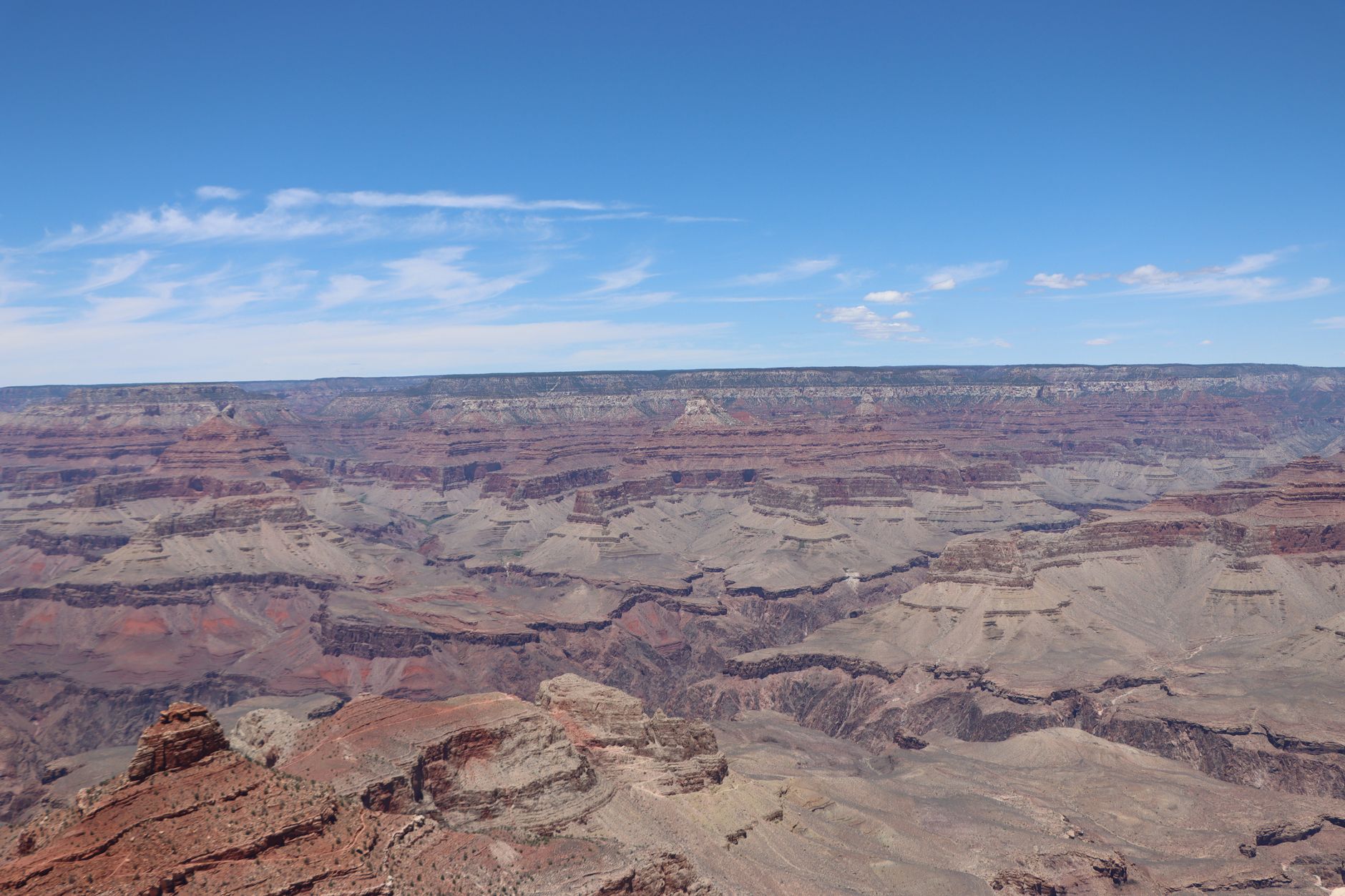
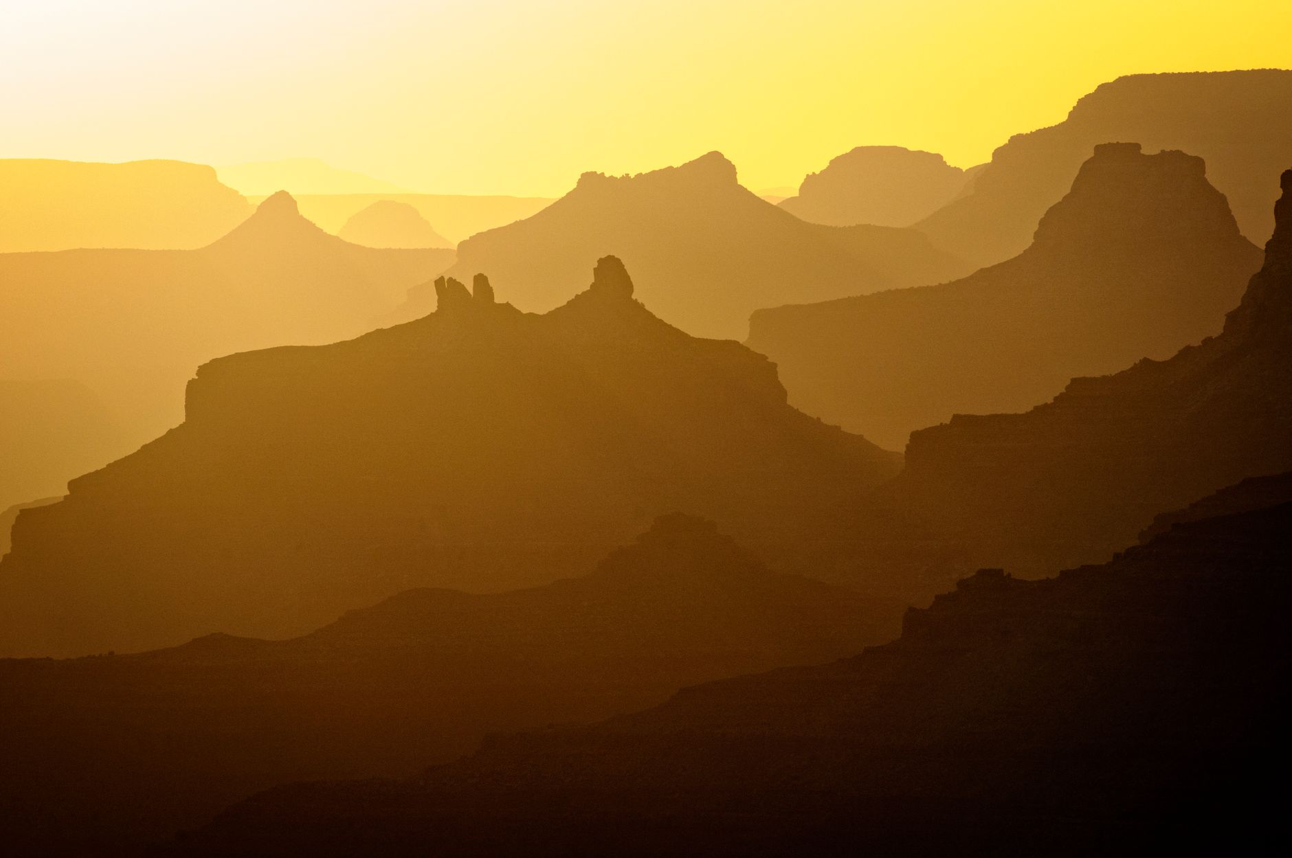
Grand Canyon camping demands more preparation than most parks—the scale is immense, temperature swings severe, and the permit system complex. This guide covers the seven essential decisions every canyon camper must make to stay safe and secure a spot.
- 6,790 ft Rim elevation
- $35 Entrance fee
- 150+ Miles of trails
- 1.2M Park acreage
Reserve Early via the Backcountry Permit Lottery — Below rim (all canyons)
All overnight canyon camping requires a permit applied 4 months in advance via Recreation.gov's monthly lottery system.
- Lottery opens 16th of month, closes 1st at 5pm MST (4 months before trip)
- Cost: $10 permit fee plus $15/person/night below rim or $4/person/night above rim
- Winners notified next day; limited walk-up permits for Havasupai Gardens and Cottonwood only
- Check cancellations up to 5 days before for last-minute openings
THE MONTHLY LOTTERY
All overnight below-rim camping requires a permit obtained through a lottery system. The lottery opens on the 16th of each month and closes on the 1st of the following month at 5pm MST. Winners are notified the next day. For example, to hike in May, you apply August 16–September 1. This 4-month advance booking window requires careful planning—mark your calendar.
PERMIT COSTS & QUOTAS
The permit costs $10, plus $15 per person per night below the rim or $4 per person per night above the rim. Monthly quotas fill by experience level: lottery-draw permits go first, walk-ups (when available) second. Each campground has designated limits, so popular dates and trails fill quickly during peak seasons (May, September, October).
WALK-UP & CANCELLATION FALLBACKS
If lottery fails, limited same-day walk-up permits are available at Havasupai Gardens (March–November) and Cottonwood (May–October) only—issued in-person, one night maximum. Watch Recreation.gov for cancellations up to 5 days before your trip; experienced campers score last-minute spots this way.
Choose Spring or Fall for Ideal Conditions — South Rim and North Rim
May-June and September-October offer mild temperatures, open facilities, and the best permit availability of any season.
- May-June: 60s-80s F, North Kaibab Trail opens May 15, Hermit Road shuttle starts
- September-October: 70s-80s F, fewer crowds, permits moderately available vs. summer lottery odds
- July-August: Canyon temps exceed 110°F, afternoon thunderstorms common, peak crowding and permit scarcity
- Winter: North Rim closes mid-October; South Rim stays open but temps dip below 45°F
MAY & JUNE WINDOW
Spring brings pleasant daytime temps in the 70s with cool nights in the 30s-40s. The North Rim opens May 15, Hermit Road shuttle launches March 1, and seasonal water sources activate at trail resthouses. Wildflower season peaks, and permit lottery odds are reasonable—not yet July-August's chaos. Book your May lottery application by early March and expect decent odds.
SEPTEMBER & OCTOBER SWEET SPOT
Temperatures cool from summer extremes (70s-80s F rim, manageable canyon heat), afternoon thunderstorms taper, and crowds drop noticeably. Permits are moderately available via lottery. The North Rim typically closes late October (dates vary yearly), so confirm closure dates before planning. This is the second-best season for camping—fewer people, less heat stress, and good permit odds.
SEASONS TO AVOID
July-August brings lethal canyon heat (>110°F), peak crowds, and lottery odds near zero for popular dates. Winter (December–February) closes the North Rim entirely, snow accumulates at the South Rim, and canyon camping becomes very dangerous. October–March, the South Rim stays accessible but cold, limiting comfort for tent camping and increasing weather risk below rim.
Book Your Rim Campground 6 Months Ahead — South Rim (Mather & Desert View) / North Rim
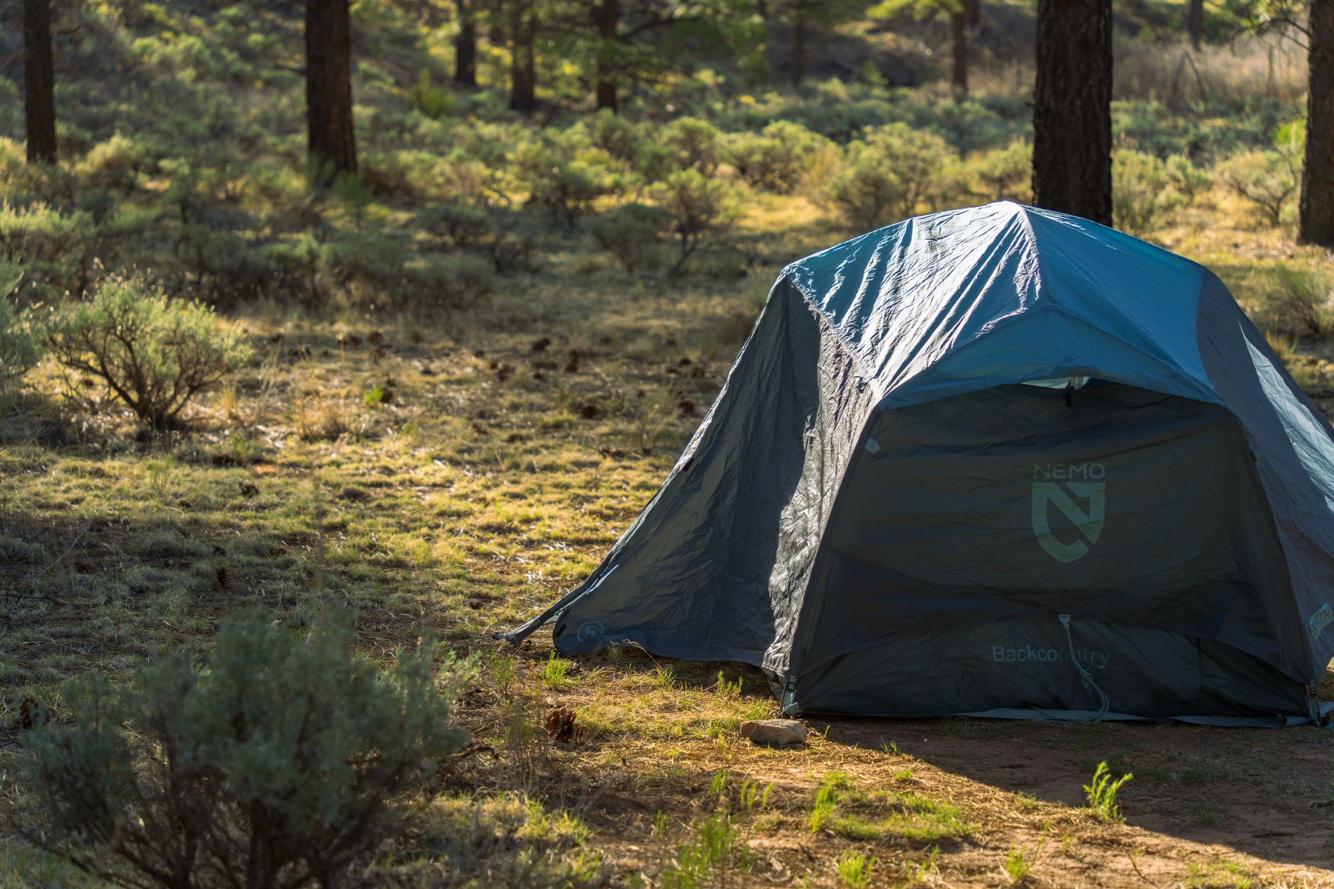
Mather, Desert View, and North Rim campgrounds fill 6 months in advance; pick based on access, season, and solitude.
- Mather: ~300 sites, year-round, paved loops, shade trees, closest to Grand Canyon Village
- Desert View: ~50 sites, April–October, quieter, 25 miles east via scenic Desert View Drive
- North Rim: ~87 sites, June–October, forest setting, 1,000+ ft higher elevation, fewer crowds
- All have potable water, restrooms, picnic tables, fire rings; no hookups at any site
MATHER FOR FAMILIES & BASE CAMPING
Mather Campground is the largest and most accessible South Rim option with ~300 sites, year-round operation, and proximity to Grand Canyon Village (restaurants, shops, services). The loop roads are paved, some sites have shade trees, and all have picnic tables and fire rings. Reserve 6 months in advance via Recreation.gov—sites open January 1 for July, etc. In peak season (March–November), ~20 walk-up spots may release daily, but these fill by 11am. Ideal for families and first-time campers.
DESERT VIEW FOR SOLITUDE & SCENERY
Desert View Campground sits 25 miles east of Grand Canyon Village along the scenic Desert View Drive—quieter and closer to eastern viewpoints (Navajo Point, Lipan Point, Desert View Watchtower). Only ~50 sites, seasonal (April–October), with vault toilets and no shower facilities. Reserve 6 months in advance or call 1-877-444-6777 for same-day. Ideal for those seeking quieter camping and access to the canyon's eastern scenic corridor.
NORTH RIM FOR HIGH-ELEVATION CAMPING
North Rim Campground sits at 8,200 feet in a dense ponderosa-aspen forest, 1,000+ feet higher than South Rim, offering solitude and cooler temps. It operates June 1–October 31 (reopens each summer after spring closure). ~87 sites, most accessible only to tents and small RVs due to narrow forest roads. Potable water available at the nearby General Store. No showers or laundry in 2026. Reserve via Recreation.gov for a true backcountry rim experience with moderate crowds.
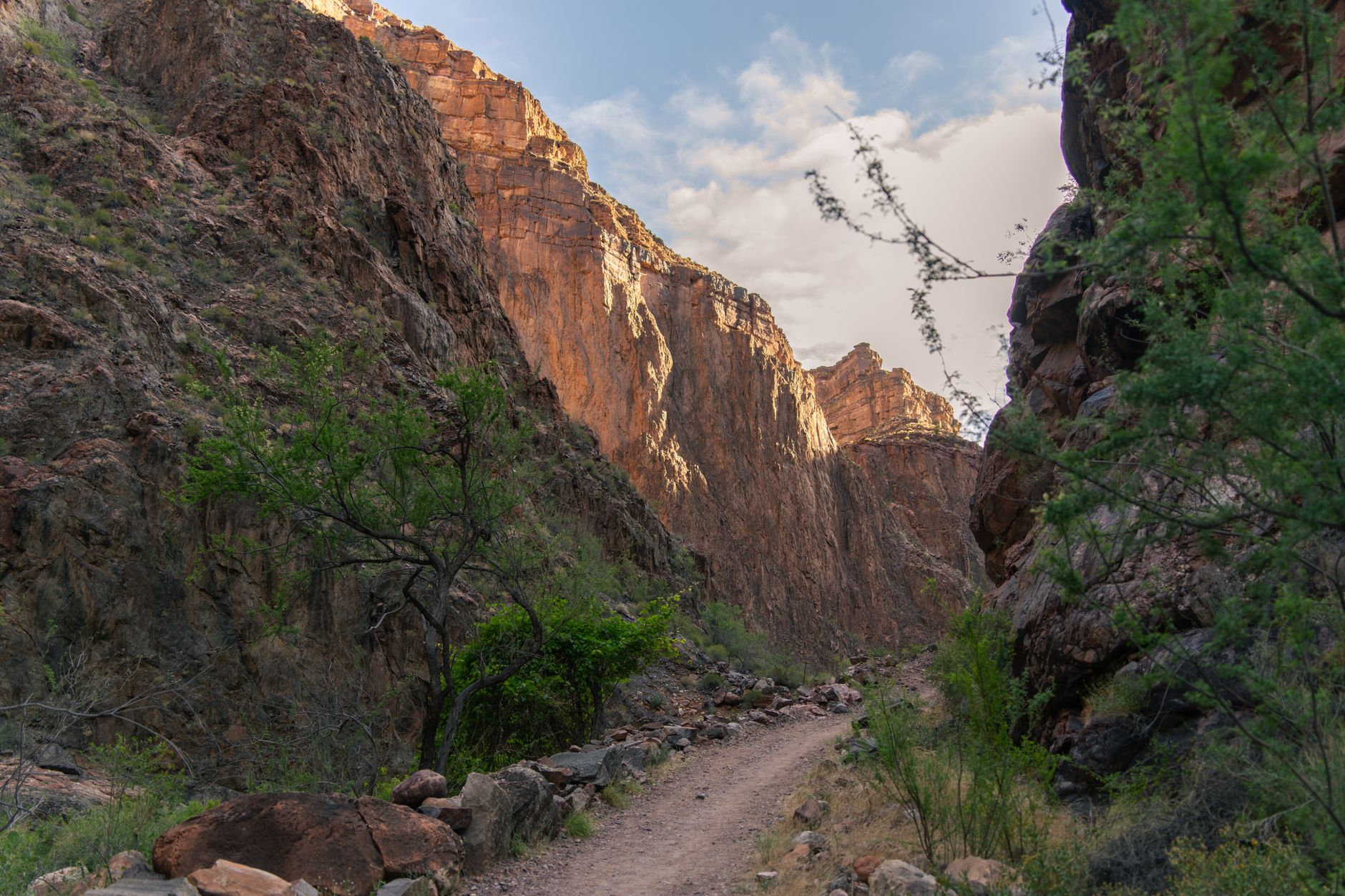
Master Water Availability by Trail — Below rim (inner canyon trails)
Water sources vary critically: Bright Angel and Hermit offer reliable seasonal or year-round flow; South Kaibab offers zero.
- Bright Angel: Seasonal water May–October at Mile-and-a-Half (1.5 mi) and Three-Mile (3 mi) resthouses
- Hermit Trail: Year-round water at Santa Maria Spring (2.5 mi) and Hermit Creek—most reliable option
- South Kaibab: Zero water on entire trail; trailhead station offline 2026 (pipeline damage); carry 4+ liters minimum
- All backcountry water must be filtered or chemically treated; never drink untreated from springs or streams
BRIGHT ANGEL: SEASONAL RESTHOUSES
Bright Angel Trail offers the most reliable seasonal water: the Mile-and-a-Half Resthouse (1.5 mi down) and Three-Mile Resthouse (3 mi down) both provide water May through October. These staffed facilities fill bottles for day-use hikers and permit-holders. However, they close in winter, and Havasupai Gardens (4.5 miles) has year-round water but unreliable supply. Always carry 2–3 liters as backup; don't rely entirely on resthouse availability.
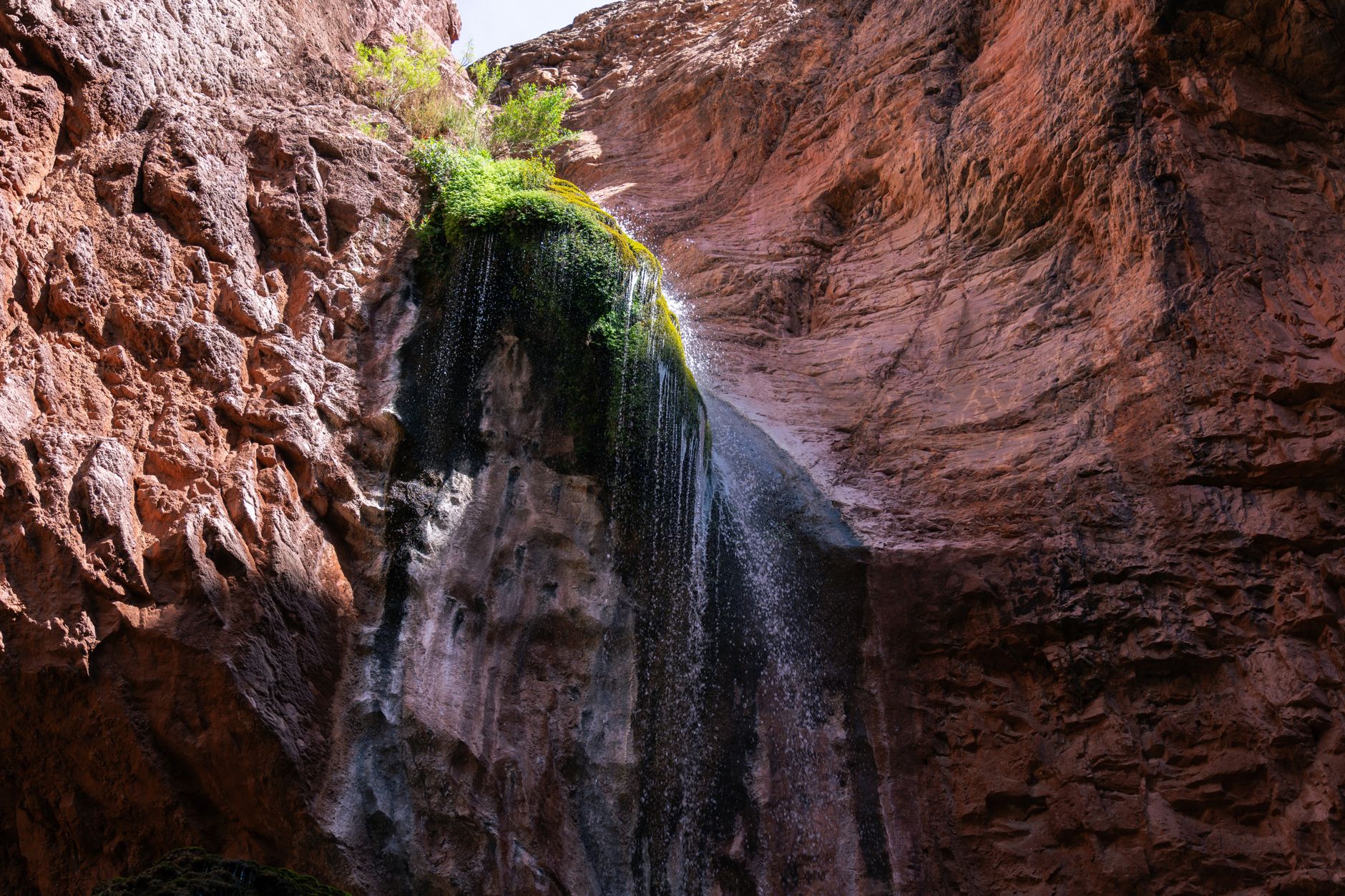
HERMIT TRAIL: YEAR-ROUND FLOW
Hermit Trail is the gold standard for water. Santa Maria Spring (2.5 miles) and Hermit Creek (per-ennial) flow year-round, making it the most dependable for winter or late-season trips. Dripping Springs (7 miles via side trail) also flows reliably. All water must be filtered or treated (giardia and cryptosporidium are present). This trail's water abundance makes it ideal for less-experienced backcountry campers who want fewer variables.
SOUTH KAIBAB: NO WATER — DON'T GAMBLE
South Kaibab Trail has zero water sources end-to-end. The trailhead water station remains offline in 2026 due to pipeline damage. You must carry 100% of your water: minimum 4 liters in cool months, 6+ liters in summer. Combined with extreme exposure (no shade) and a closed lower section (Tipoff to Black Bridge), South Kaibab is not a reliable camping option. Choose Bright Angel or Hermit instead for safer overnight trips.
Pack for Extreme Rim-to-Canyon Temperature Swings — South Rim to canyon floor
Temperature drops 50°F+ from rim to river; even July camping requires insulating layers for cold canyon nights.
- Rim May: 70°F day, 36°F night (34°F swing); canyon floor stays in 60s
- Canyon summer: 100°F+ day, 80°F night near river; intense sun exposure, no shade
- North Rim (8,200 ft): 10–15°F colder than South Rim; damp canyon nights feel colder than temps suggest
- Pack fleece, insulated sleeping bag, sun hat, SPF 50+; canyon sun reflects off stone and intensifies
RIM CLIMATE & SEASONAL SWING
South Rim sits at 6,790 feet elevation with cool nights and mild days in shoulder seasons (May: 70°F day / 36°F night). Summer rim temps run 80s-90s F. Winter dips to 40s by day, 20s by night, with snow possible. North Rim, 1,000 feet higher, averages 10–15°F colder. Plan sleeping bags rated for rim nighttime lows, not just canyon forecasts.
CANYON FLOOR EXTREMES
The canyon floor experiences intense heat in summer (>110°F, limited shade) and deceptive cold at night. In July-August, daytime highs exceed 110°F, but nights drop to 80°F—a 30°F swing that shocks unprepared campers. The Colorado River runs cold year-round; camping near it means 10–20°F cooler than elevated camps. Spring and fall moderate the extremes, but cold nights persist canyon-wide.
GEAR STRATEGY: LAYERS & SLEEPING BAG
Pack moisture-wicking base layers, mid-weight fleece or down insulation, and a wind-blocking outer layer. Choose a sleeping bag rated 10–15°F *colder* than worst-case nighttime temps. In summer, that's 65°F rating; in spring, 20°F rating. Add a tent rain fly, closed-cell sleep pad (ground cold is severe), and tarp groundsheet to manage canyon damp and wind. Sun exposure is extreme—bring SPF 50+, a wide-brimmed hat, and UPF shirt for daily rim time.
Build Rim Fitness Before Descending Below — South Rim trailheads and below rim
Descents to the river exceed 4,500 feet with steep switchbacks and altitude; ascents take twice as long as descent.
- Rim elevation: 6,790 feet (South Rim); altitude can trigger headaches, fatigue, reduced breathing
- Bright Angel descent: 4,501 feet elevation change, 1.5-mile steep initial section with switchbacks
- South Kaibab: 4,700 feet, zero shade, relentless exposure, ridge-line balance
- Return ascent: 2–3× longer than descent; heat exhaustion and leg fatigue peak on way up
ALTITUDE & RIM ACCLIMATIZATION
The South Rim sits at 6,790 feet—2,000+ feet higher than Denver. First-day effects include headaches, nausea, shortness of breath, and sluggish energy. Many visitors spend their first 1–2 days doing easy rim walks (Grand Canyon Village area, Rim Trail) to acclimatize before descending. The canyon deepens elevation further: trails drop to sea-level-equivalent Colorado River. Plan extra rest time your first night at the rim, drink 3–4 liters of water, and avoid alcohol.
DESCENT UNDERESTIMATION
Downhill hiking feels easier than it is—your legs and knees absorb pounding, and gravity provides false speed. Bright Angel's first 1.5 miles drop steeply via switchbacks (the 'Chimney'). By Mile 3, many hikers regret their pace. The entire descent to Phantom Ranch (16.4 miles roundtrip) takes 4–6 hours down, 8–10 hours up. Start before dawn, rest frequently, and never exceed 10 miles per day on first trip.
ASCENT REALITY: THE GRIND BACK UP
The return climb is far harder than the descent. Heat builds as you climb; elevation gain saps strength; leg fatigue is extreme. A 5-hour descent becomes a 10–12 hour ascent. Break into segments: climb to Mile-and-a-Half (1.5 hours), rest 30 min, climb to Three-Mile (1.5 hours), rest, then push to rim. Start early (5am), carry 4+ liters water, and know your walking speed: most people average 0.5 mph uphill.
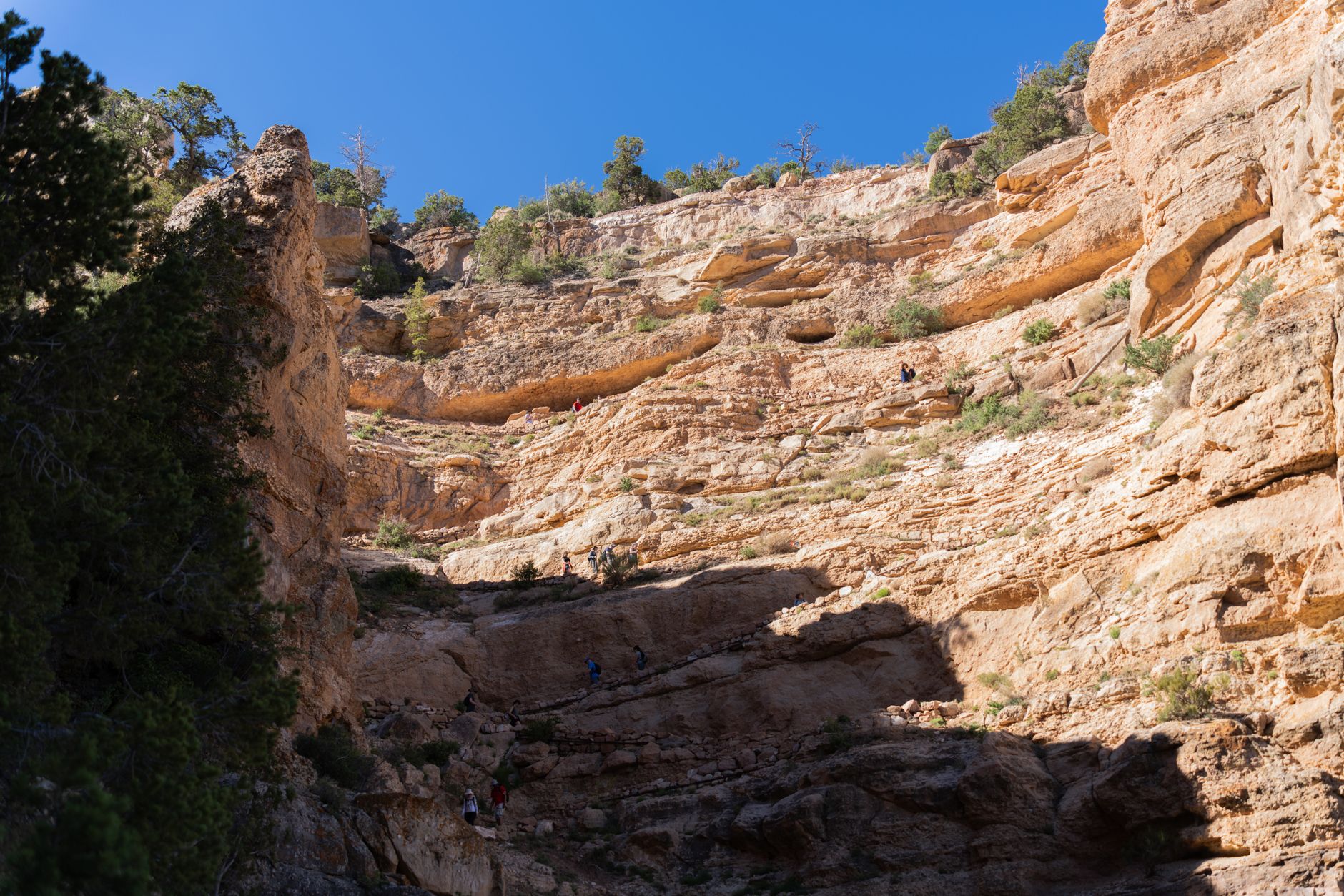
Match Your Trail to Backcountry Experience Level — South Rim below-rim trails
Bright Angel suits first-timers with water and resthouses; Hermit demands scrambling; South Kaibab requires extreme fitness.
- Bright Angel: 16.4 mi round-trip, most popular, graded trail, water, resthouses, camping at Havasupai and Phantom Ranch
- Hermit Trail: 18.5 mi round-trip, scenic red rock, requires scrambling, year-round water, less crowded
- South Kaibab: 15 mi round-trip, ridge descent with no water, extreme sun, section closed (Tipoff to Black Bridge)
- Day-hike warm-up: Ooh Aah Point (1.8 mi round-trip, 790 ft gain) reveals altitude and switchback pace
BRIGHT ANGEL: EASIEST PERMITTED DESCENT
Bright Angel Trail is the most popular and least technical canyon route: well-graded switchbacks, water at Mile-and-a-Half and Three-Mile resthouses (May–October), and established campsites at Havasupai Gardens and Bright Angel Campground (near Phantom Ranch). The trail ascends 4,501 feet, but the gentle grade and resthouses make it manageable for fit first-time campers. Solitude is limited (most crowded trail), but reliability and infrastructure are unmatched for permit-holders new to canyon camping.
HERMIT TRAIL: INTERMEDIATE SCRAMBLING
Hermit Trail is less crowded and more scenic (red rock formations, Colorado River views) but requires scrambling, boulder hopping, and route-finding. Water is year-round (Santa Maria Spring at 2.5 mi, Hermit Creek), and designated campsites exist. The elevation change is 5,000 feet, comparable to Bright Angel but with steeper, looser terrain. Ideal for hikers with prior canyon experience who want solitude and don't mind scrambling. Plan extra time and bring trekking poles for stability.
SOUTH KAIBAB: ELITE-ONLY OPTION
South Kaibab is a narrow ridge descent with zero water, intense sun exposure, and a closed lower section (Tipoff to Black Bridge as of 2026). It's not suitable for first-time canyon camping—use it only for experienced backpackers who've hiked Bright Angel and Hermit, completed specific fitness training, and understand heat management. Day-hikes to Ooh Aah Point or Cedar Ridge are safer ways to experience South Kaibab's dramatic ridgeline. Never use South Kaibab for backcountry camping unless you've mastered other trails first.
Common Questions
When should I apply for backcountry permits?
Apply 4 months before your intended trip via the Recreation.gov lottery, which opens on the 16th of each month. For example, a May trip requires applying August 16–September 1 at 5pm MST. Set a phone reminder for the 16th; popular dates fill within hours. Check for cancellations up to 5 days in advance for last-minute openings.
Can I camp at Mather Campground year-round?
Yes, Mather is open year-round with ~300 sites. However, it fills months in advance during peak season (March–November). Reserve 6 months ahead via Recreation.gov. In winter (December–February), it's more accessible with same-day availability. Arrive early or check the walk-up list at 8am for daily cancellations.
What's the difference between rim camping and below-rim camping?
Rim camping (Mather, Desert View, North Rim) uses standard campgrounds with facilities, water, and fire rings. Below-rim backcountry camping requires a permit ($10 fee + $15/person/night), ranger-approved campsites, and careful water-source planning. It's only for experienced backpackers with high fitness, altitude tolerance, and wilderness navigation skills.
Is South Kaibab safe for overnight camping?
South Kaibab is dangerous for overnight trips: zero water, extreme sun exposure, no shade, and a trail section closed until further notice (Tipoff to Black Bridge). Use Bright Angel or Hermit Trail instead for safe first camping trips. Save South Kaibab for day-hiking only unless you're an elite backcountry veteran.
How much water must I carry on South Kaibab?
Minimum 4 liters in cooler months; 6+ liters in summer. The trailhead water station is offline in 2026 (pipeline damage), so you must carry 100% of water needed. Because the trail has zero water sources and extreme heat, Bright Angel or Hermit Trail are safer choices for camping trips.
Sources & Further Reading
- Backcountry Permit (U.S. National Park Service)
- Grand Canyon National Park Backcountry Permits - Recreation.gov
- Mather Campground - South Rim (U.S. National Park Service)
- Mather Campground - Recreation.gov
- Desert View Campground (U.S. National Park Service)
- Desert View Campground - Recreation.gov
- North Rim Campground (U.S. National Park Service)
- North Rim Campground - Recreation.gov
- Bright Angel Trail (U.S. National Park Service)
- South Kaibab Trail (U.S. National Park Service)
- Hermit Trail (U.S. National Park Service)
- Operating Hours & Seasons (U.S. National Park Service)