7 Days in Gates of the Arctic: The Complete Backpacking Guide
Seven days crossing the remote Brooks Range from Anaktuvuk Pass to the Dalton Highway.
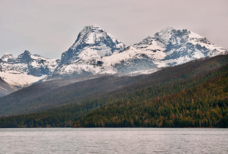
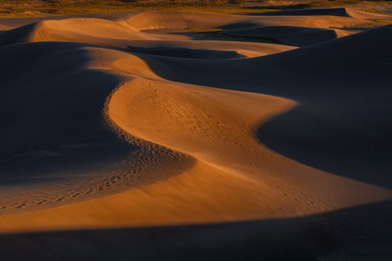
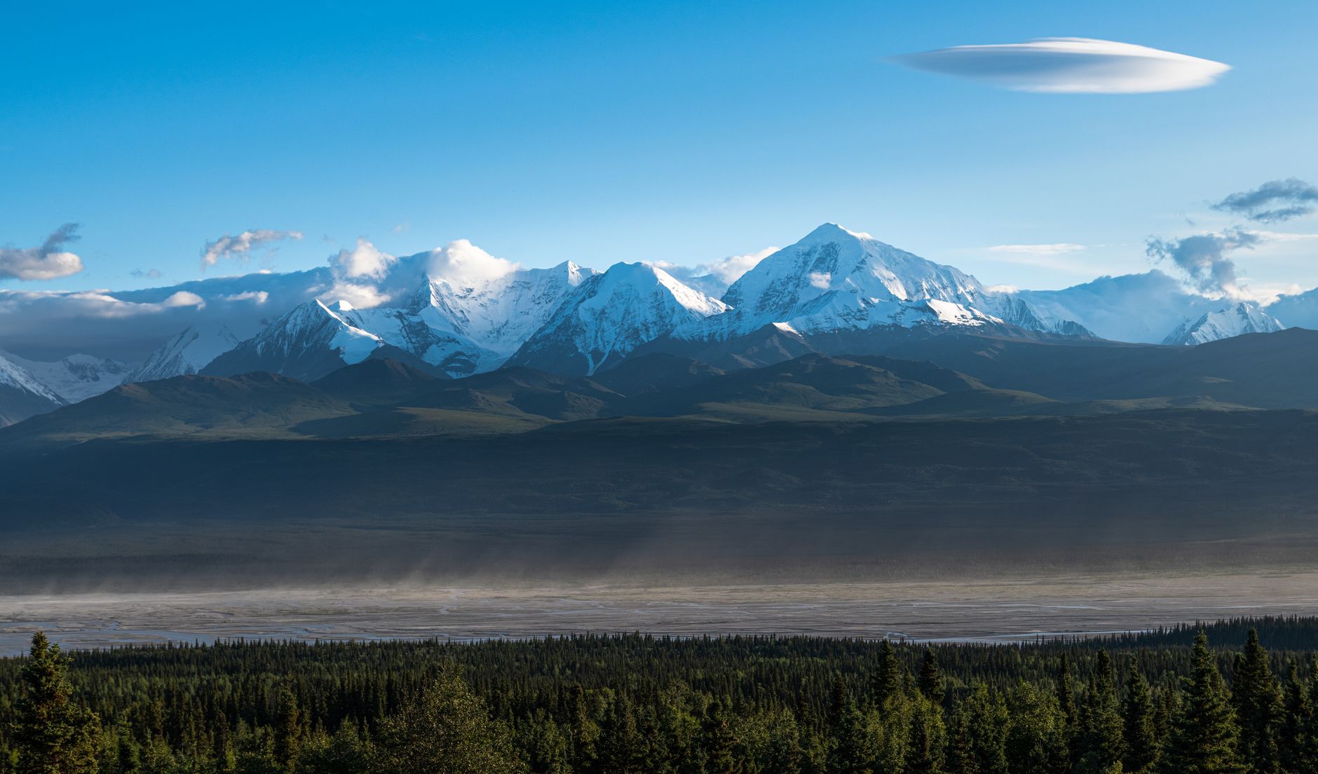
Gates of the Arctic anchors Alaska's Brooks Range in the Arctic, a 8.4-million-acre wilderness with zero roads, zero trails, and uncompromising beauty.
- 8.4M Acres
- 4,000 Annual visitors
- 8,510 ft Highest peak
- 145+ Bird species
Day 1: Arrival at Anaktuvuk Pass
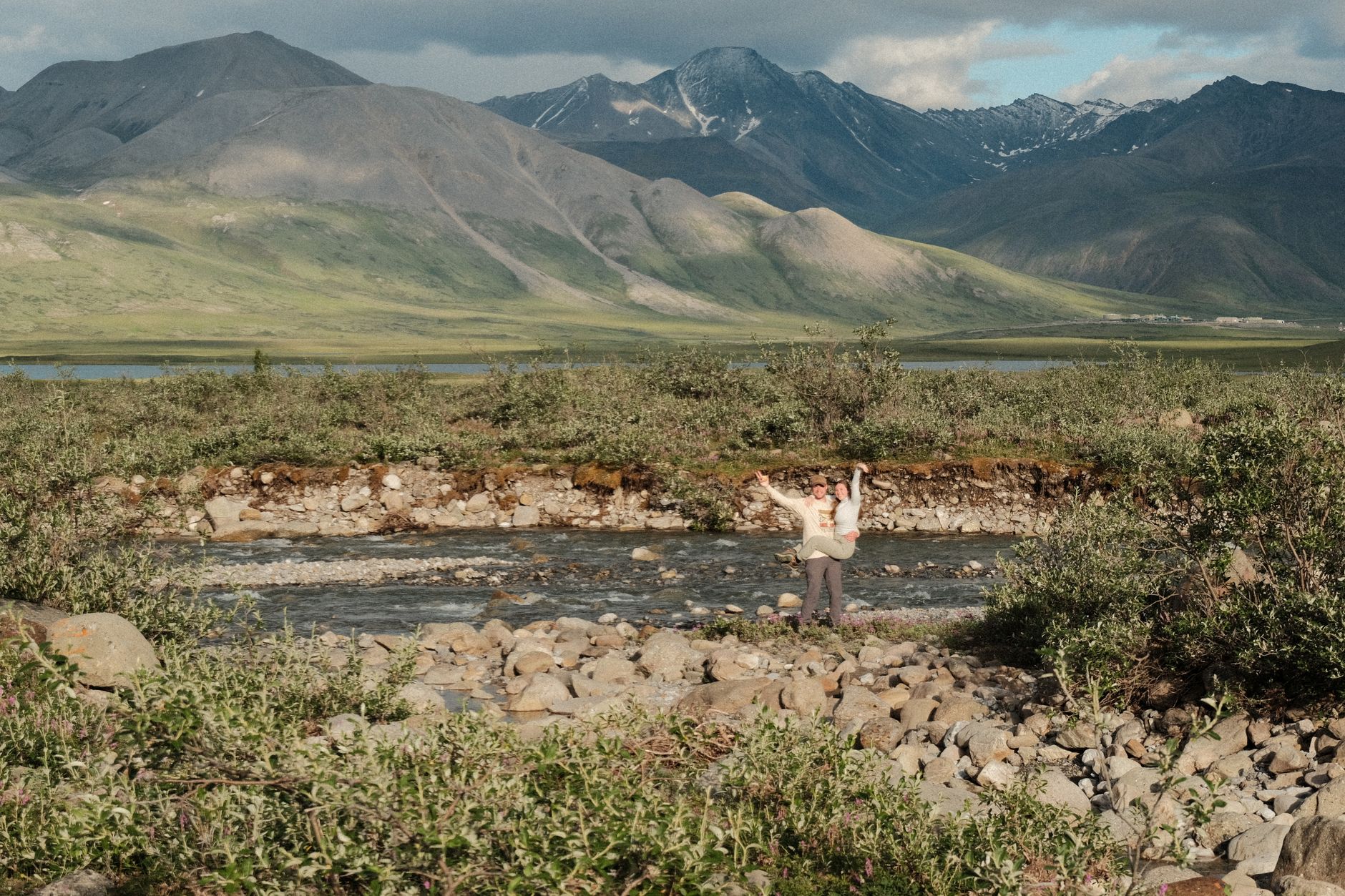
Stay: Sleep at one of two Anaktuvuk Pass lodges or at designated visitor camping on the east side of the airstrip.
You'll fly into Gates of the Arctic's only interior community and meet your guide, obtain your bear canister, and learn pre-trip safety essentials.
- Catch a scheduled flight from Fairbanks to Anaktuvuk Pass via Wright Air or Everts Air ($190–200 one-way) and obtain your free bear-resistant food canister.
- Once there, camp at the visitor area or check into one of two lodge options; attend a ranger orientation at the NPS station (open Mon–Fri, 9am–5pm) and visit the Simon Paneak Memorial Museum ($10) for Nunamiut cultural history.
Day 2: Into the Anaktuvuk River Valley
Stay: Establish your first backcountry camp in the Anaktuvuk River valley, away from water and on level ground.
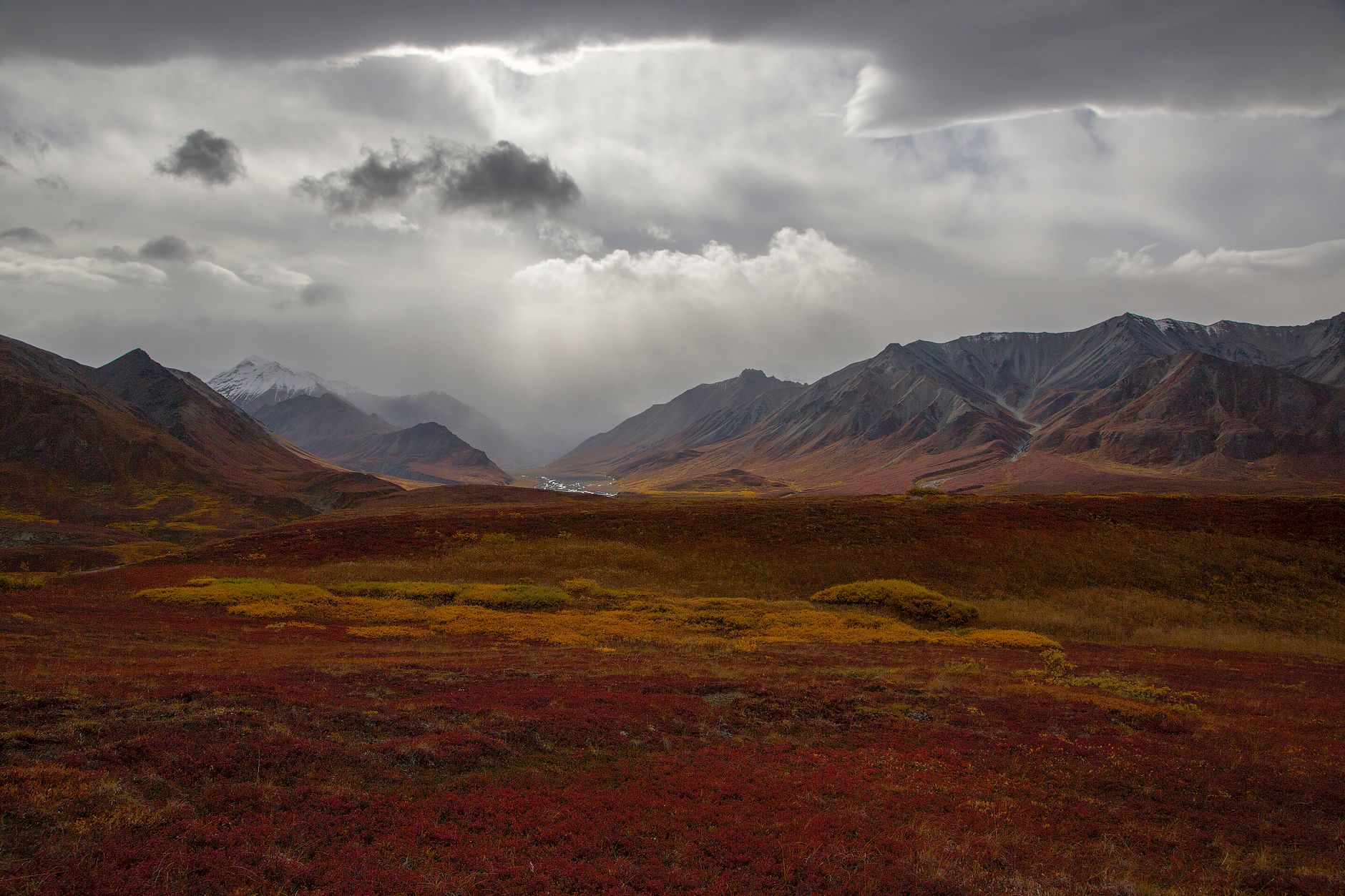
Today you'll push off into true wilderness, leaving behind any trace of human infrastructure as you ascend the river valley toward Ernie Pass.
- Start hiking west up the Anaktuvuk River, staying on the south side.
- The terrain is open tundra with dense tussocks, boggy ground, and frequent stream crossings that will wet your feet.
- Aim for 8–10 miles to reach a good camp spot in the river valley, navigating by map, compass, and GPS.
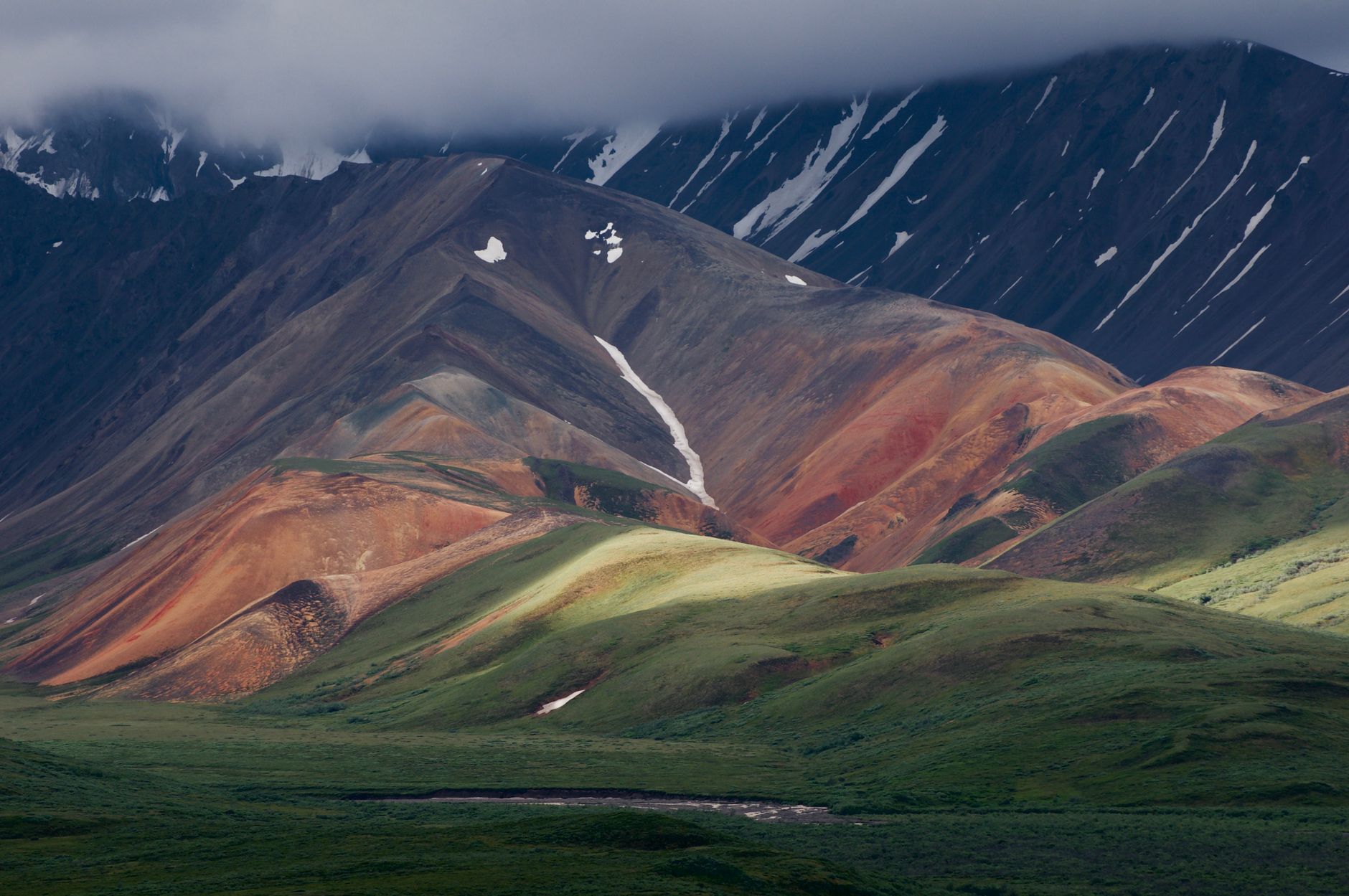
Day 3: Climbing Toward Ernie Pass
Stay: Camp near the Ernie Pass approach in wind-protected tundra.
Today marks your transition from valley to high country as you climb toward Ernie Pass, the gateway to the central Brooks Range.
- Continue west up the Anaktuvuk River into thinner vegetation and increasing elevation.
- After 2 days from Anaktuvuk Pass, the terrain opens into broad, low-elevation Ernie Pass country with boggy tundra, possible snow patches, and increasingly dramatic views of surrounding peaks.
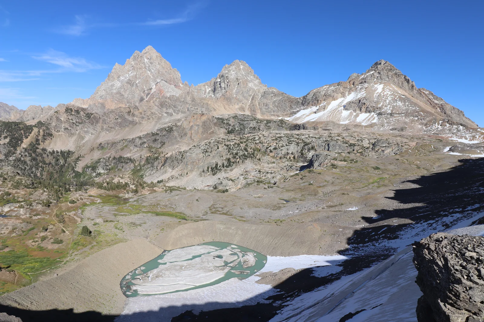
Day 4: Over Peregrine Pass to the North Fork
Stay: Make camp in the North Fork Koyukuk River valley, out of wind.
Today is the trek's most dramatic and exposed day—crossing Peregrine Pass at high elevation with commanding views of the central Brooks Range.
- From Ernie Pass, head east-northeast up Grizzly Creek toward Peregrine Pass, crossing high alpine tundra with possible snowfields.
- Descend steeply from the pass toward the headwaters of the North Fork Koyukuk River—the most weather-exposed section of the trek.
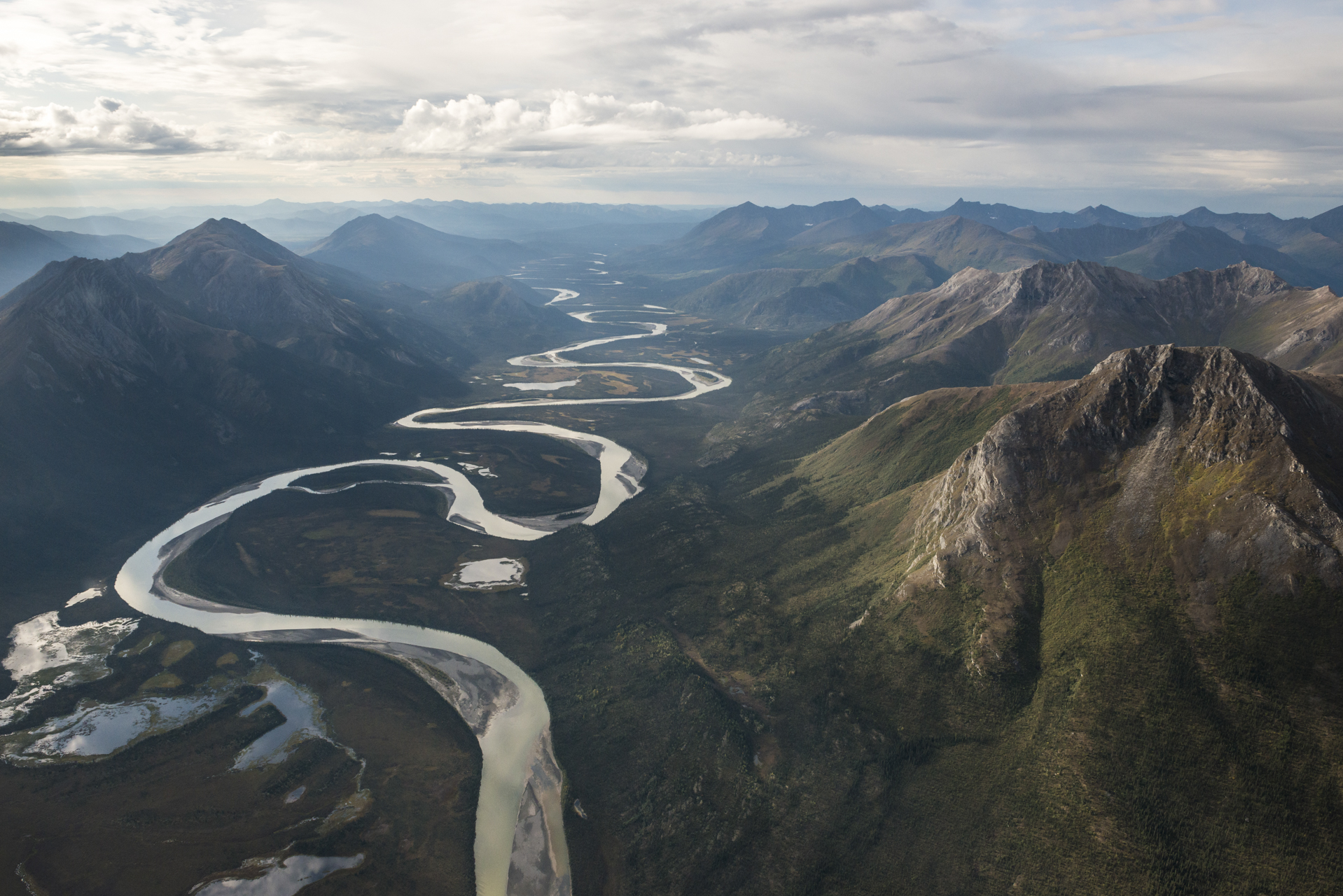
Day 5: North Fork Koyukuk River Valley
Stay: Camp well back from the North Fork Koyukuk River, high and dry if possible.
Today you descend to the broad North Fork Koyukuk valley, where dramatic canyon walls and braided streams define the landscape—and where grizzlies hunt for salmon.
- Follow the North Fork Koyukuk valley downstream and northeast through prime grizzly habitat, crossing braided stream channels and open tundra over 8–10 miles.
- Avoid salmon streams (particularly in late summer when bears congregate) and maintain 100+ yards from any bear you spot.
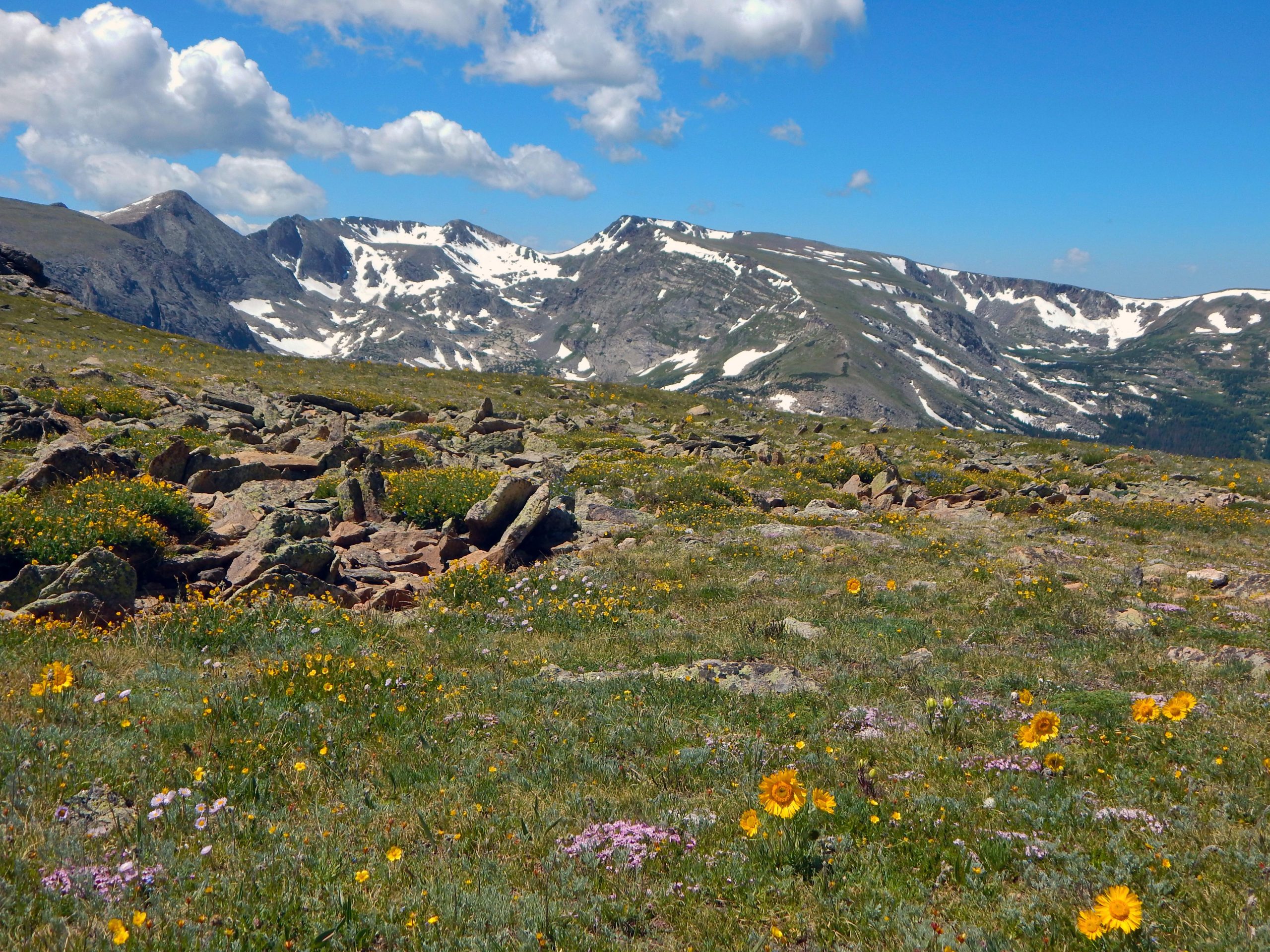
Day 6: Toward Oolah Pass
Stay: Camp at a sheltered spot near Oolah Pass approach.
You'll leave the Koyukuk drainage and climb toward Oolah Pass, positioning yourself to cross the Continental Divide on Day 7.
- Head northeast from the North Fork Koyukuk valley, climbing toward the Itkillik River drainage and Oolah Pass.
- Terrain transitions from river valley to alpine tundra with 1,500 feet of gain over 8–10 miles and expansive views.
- The pass marks the Continental Divide—rivers to the north drain to the Arctic Ocean, while those south flow to the Bering Sea.
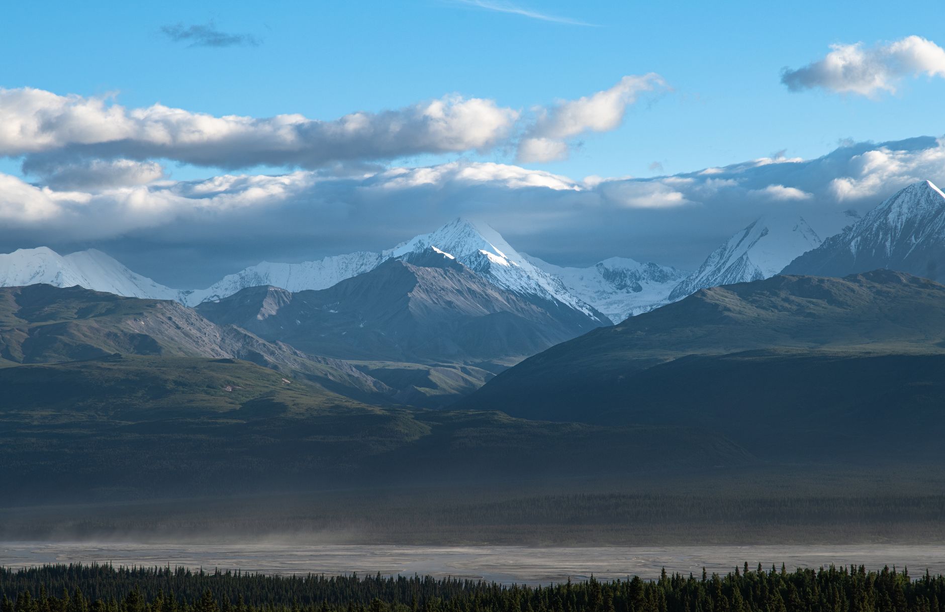
Day 7: Over Oolah Pass to the Haul Road
Stay: After exiting at the Dalton Highway, return to Coldfoot Camp for hot food, a shower, and onward travel to Fairbanks.
Your final day crosses Oolah Pass and descends Kuyuktavuk Creek drainage to the Dalton Highway, ending your week-long wilderness traverse.
- Cross Oolah Pass in early morning to minimize exposure to afternoon weather, then descend the steep south slope into Kuyuktavuk Creek drainage.
- This section is the most brushy part of the entire route, expect slow going through low willows and tundra before crossing the Dietrich River near the Dalton Highway.
Common Questions
Do I need permits to backpack in Gates of the Arctic?
No. Backcountry camping is free and requires no permit; just file a trip plan with a ranger at Anaktuvuk Pass, Bettles, or Coldfoot. However, if leading a group (nonprofit, educational, commercial), special-use permits apply—email the park. The NPS strongly recommends attending a backcountry safety orientation at a visitor center before heading into the wilderness.
What's the realistic daily mileage?
Most hikers average 5–10 miles per day due to tussock tundra, boggy ground, river crossings, and no maintained trails. Guided groups sometimes cover 8–12 miles daily, but this assumes fit participants and favorable conditions. The park recommends planning 6 miles as a good day's travel for experienced hikers.
Are bears really a concern?
Yes. Grizzly bears and black bears inhabit the park, especially along salmon streams in late summer. Bear-resistant food canisters are required in treeless areas and available free for loan at Coldfoot or Bettles visitor centers. Make noise while hiking, avoid salmon streams, and maintain 100+ yards from any bear. If you see a bear that hasn't noticed you, move away quietly.
What should I pack for weather?
July–September can bring freeze-to-thaw cycles, thunderstorms with lightning and hail, and rapid river rises. Bring waterproof layers, thermal mid-layers, an insulated parka, and a quality rain shell. Wet feet for days is normal; bring quick-dry socks and don't count on things drying between camps. Snow can fall any month, so prepare for alpine temperature swings.
Can I do this solo?
Technically yes, but it's not recommended for most hikers. Off-trail navigation requires map, compass, and GPS confidence—self-rescue capability is essential since there's no cell service and evacuation is expensive. Most solo travelers partner with a guide or outfitter for safety and route expertise. Consider booking with Expeditions Alaska, Arctic Wild, or Bettles Lodge for guided trips.
Sources & Further Reading
- Backpacking and Hiking - Gates Of The Arctic National Park & Preserve — National Park Service
- Basic Information - Gates Of The Arctic National Park & Preserve — National Park Service
- Anaktuvuk Pass, Alaska - Gates Of The Arctic National Park & Preserve — National Park Service
- Arrigetch Peaks - Gates Of The Arctic National Park & Preserve — National Park Service
- Food Storage and Bear Resistant Food Containers - Gates Of The Arctic — National Park Service
- Bear Safety - Gates Of The Arctic National Park & Preserve — National Park Service
- Weather - Gates Of The Arctic National Park & Preserve — National Park Service
- Wildlife - Gates Of The Arctic National Park & Preserve — National Park Service
- What Is Gates of the Arctic? — National Park Service
- Getting Around - Gates Of The Arctic National Park & Preserve — National Park Service
- North Fork of the Koyukuk River - Gates Of The Arctic — National Park Service
- Permits & Reservations - Gates Of The Arctic — National Park Service
- Operating Hours & Seasons - Gates Of The Arctic — National Park Service
- Visitor Centers - Gates Of The Arctic — National Park Service
- Services - Gates Of The Arctic — National Park Service
- Directions - Gates Of The Arctic — National Park Service
- Dalton Highway Recreation | Bureau of Land Management — Bureau of Land Management
- Wildlife Viewing at Gates of the Arctic National Park and Preserve — Alaska Department of Fish & Game
- Coldfoot Camp — Coldfoot Camp
- Bettles Lodge — Bettles Lodge
- Gates Of The Arctic National Park & Preserve | Recreation.gov — Recreation.gov
- A Guide to Backpacking Gates of the Arctic National Park — Indigo Alpine Guides — Indigo Alpine Guides
- Anaktuvuk Pass to the Dalton Highway — ALASKA.ORG
- Gates of the Arctic Park Tours - Arctic Wild — Arctic Wild
- Gates of the Arctic National Park Backpacking Trips — Expeditions Alaska
- Backpacking Gates of the Arctic National Park — Tundra Travels
- Gates of the Arctic | ALASKA.ORG — ALASKA.ORG
- Simon Paneak Memorial Museum | ALASKA.ORG — ALASKA.ORG