5 Days in Death Valley National Park
Five days exploring Death Valley's painted canyons, salt flats, and alpine summits.
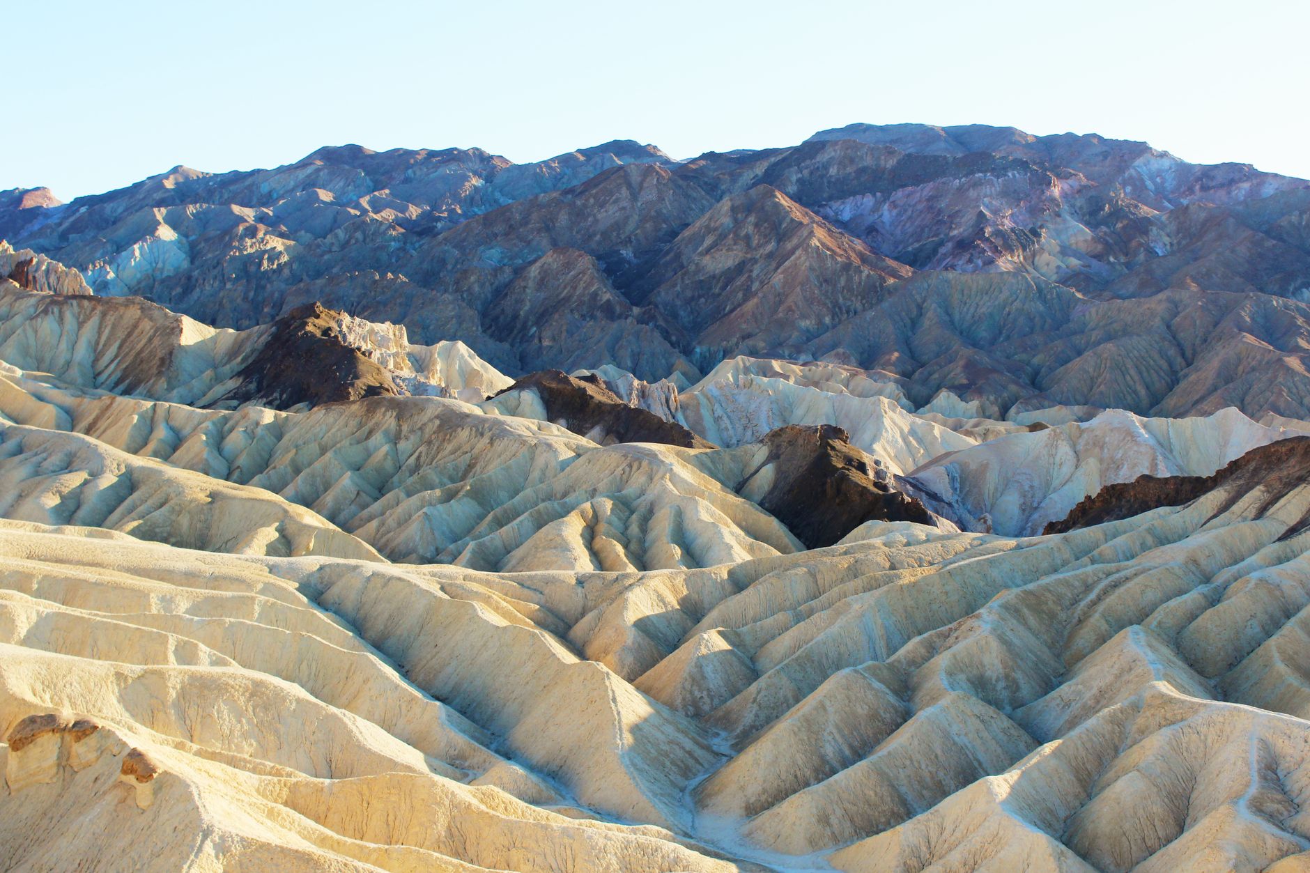
Death Valley stretches across a vast basin of extremes—from the lowest point in North America at 282 feet below sea level to peaks topping 11,000 feet. Its colorful badlands, salt-encrusted flats, and towering canyon walls mark one of the driest, most geologically diverse landscapes in the country.
- 3.4M Park acres
- -282 ft Lowest elevation
- 134°F Record high (1913)
- 700+ Miles of trails
Day 1: Sunrise Badlands & Borax
Stay: Stay at Furnace Creek Campground or The Ranch at Death Valley; both offer immediate access to the visitor center and park services.
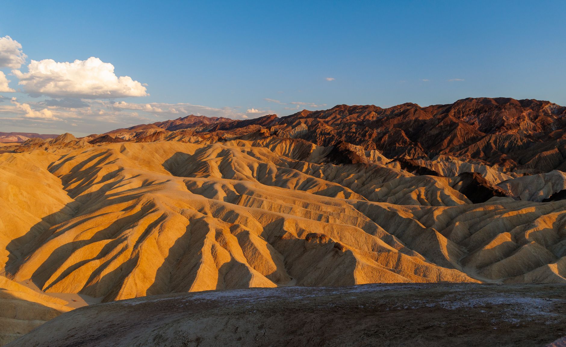
Start at Zabriskie Point to catch the iconic badlands sunrise, then explore the remnants of Death Valley's mining past at Harmony Borax Works.
- Arrive before dawn at Zabriskie Point for sunrise over the golden badlands and Manly Beacon.
- After sunrise, head to Harmony Borax Works, a 0.4-mile interpretive loop through ruins of borax processing operations from the 1880s.
Day 2: Golden Canyon & Painted Hills
Stay: Return to Furnace Creek Campground or The Ranch at Death Valley for the second night.
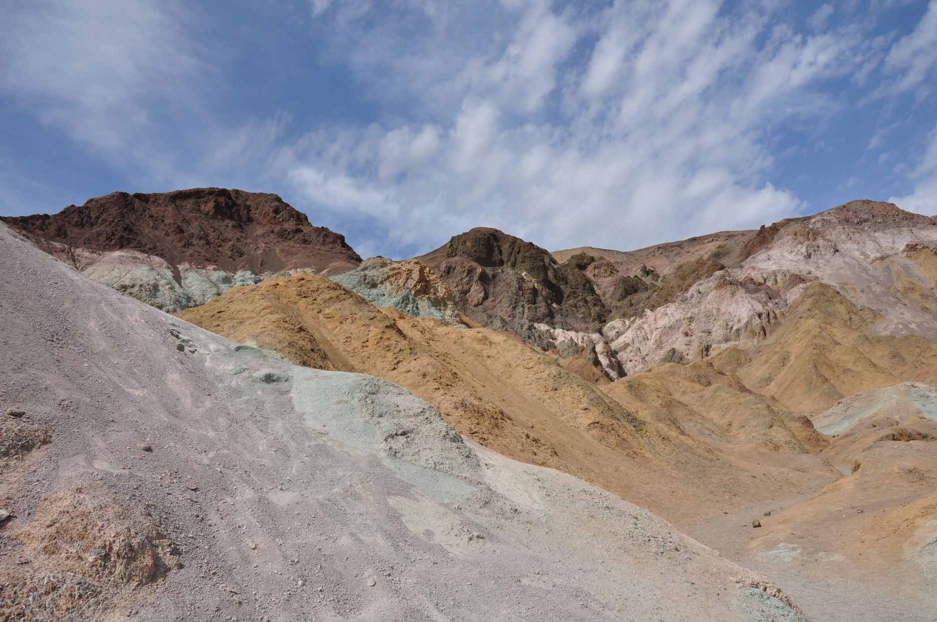
Hike the most colorful canyon in Death Valley, then drive the one-way loop past Artist's Palette's vivid mineral-stained hills.
- Hike Golden Canyon to Red Cathedral, passing through towering golden walls and rock scrambles for 3 miles one-way.
- Return via the same route, then drive Artist's Drive, a one-way scenic loop threading narrow passes and colorful badlands—stop at Artist's Palette 5 miles in for peak color contrast.
Day 3: Salt Flats & Sand Dunes
Stay: Stay a third night at Furnace Creek Campground or The Ranch at Death Valley.
Stand at the lowest point in North America, then play on mobile sand formations under the stars.
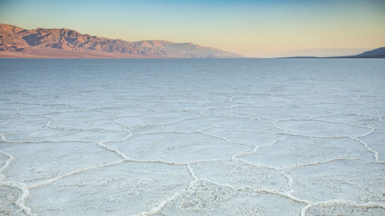
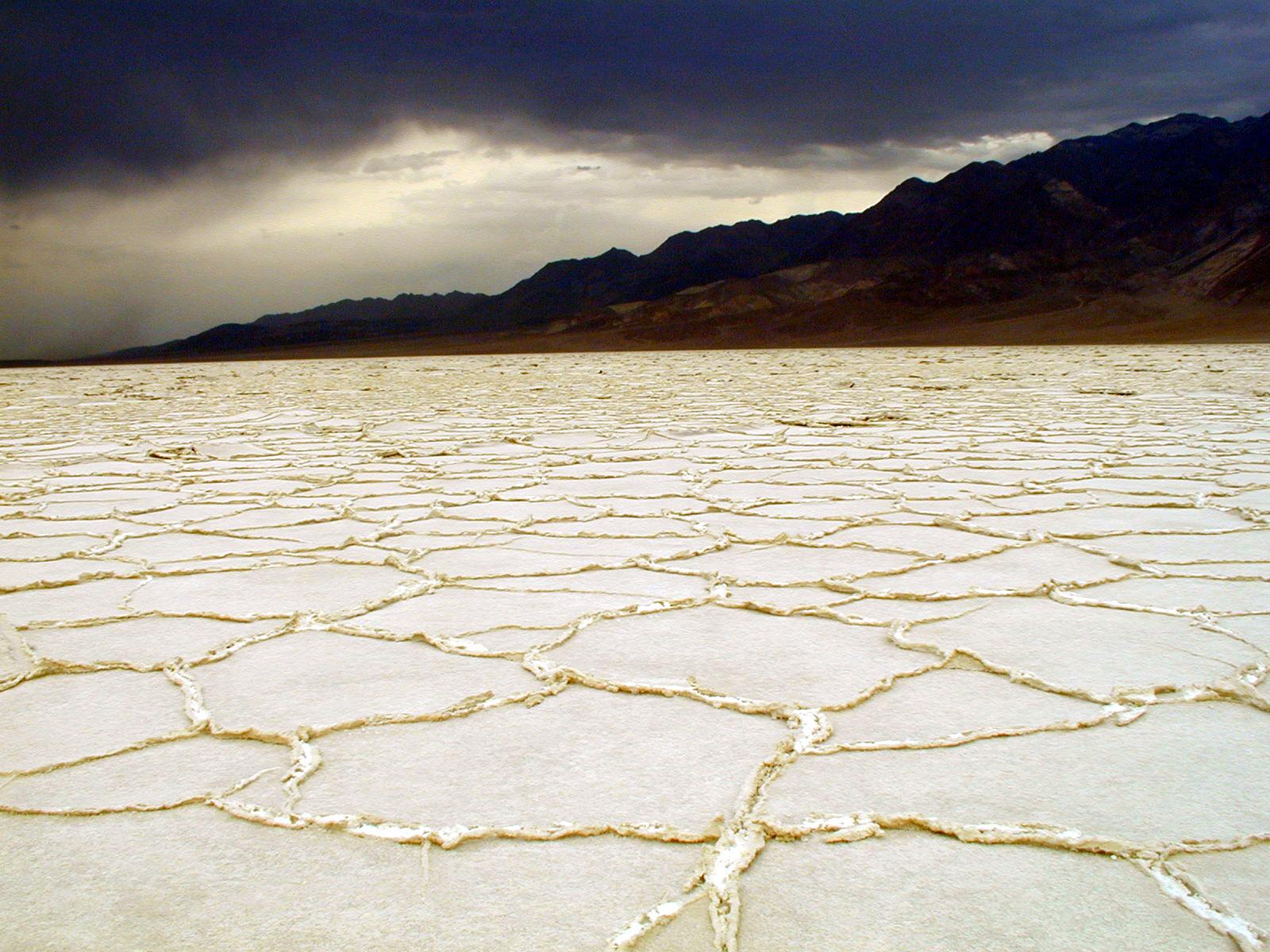
- Drive 17 miles south on Badwater Road to Badwater Basin, the lowest elevation in North America at 282 feet below sea level.
- Walk onto the salt flats and observe geometric salt polygons.
- Return northbound and visit Mesquite Flat Sand Dunes near Stovepipe Wells for sunset, where ripples and shadows contrast vividly in late-afternoon light.
Day 4: Mosaic Canyon & Northern Park
Stay: Stovepipe Wells Village Hotel is the only lodging inside the park north of Furnace Creek; book ahead as rooms fill quickly.
Hike through polished marble slot canyon with colorful mosaic rock formations, then explore the northern park near Stovepipe Wells.
- Drive to Stovepipe Wells and hike Mosaic Canyon, winding through slick marble narrows and minor rock scrambles.
- The 4-mile round-trip route terminates at a boulder jam popular for turnarounds.
- Stay overnight at Stovepipe Wells Village Hotel to access northern park attractions.
Day 5: Wildrose Peak Alpine Summit
Stay: Exit the park after descent or camp at Wildrose Campground (first-come, first-served); plan to depart for Lone Pine, CA (1.75 hrs west) or return to Furnace Creek.
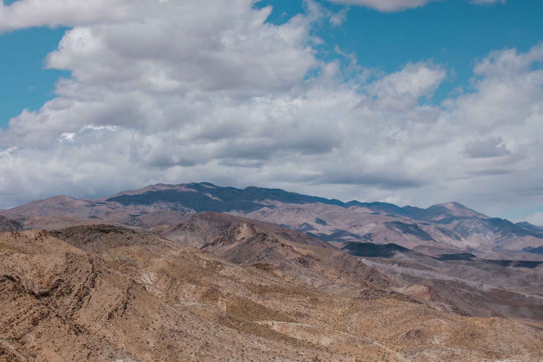
Climb to a high-elevation summit for sweeping views of Death Valley, the Panamint Mountains, and the distant High Sierra.
- Drive from Stovepipe Wells west on CA-190, then south on Emigrant Canyon Road 21 miles to Wildrose Campground.
- Hike Wildrose Peak, beginning at the Charcoal Kilns at 6,800 feet elevation.
- The first mile winds gently through piñon pine and juniper forest; after 1 mile the trail steepens into a relentless 2,200-foot ascent to the 9,064-foot summit overlooking Badwater Basin and Mount Whitney.
Common Questions
Is Death Valley safe to visit in spring (March–April)?
Yes. Daytime highs reach 75–90°F, allowing safe full-day hiking if you carry adequate water and sun protection. March–April also features active wildflower blooms at lower elevations, making it the most scenic season. Always start hikes early (before 10 a.m.) and bring at least 4 liters of water per person.
Do I need 4-wheel drive or high-clearance vehicle?
No for main park roads (CA-190, Badwater Road, Artist's Drive are paved). The access road to Wildrose Peak trailhead (Emigrant Canyon Road) has rough gravel and tight turns but is passable by sedans—though high-clearance is helpful. Avoid unpaved roads (Titus Canyon, Lower Wildrose) unless you have a SUV and confirm conditions.
Where do I refill water and fuel?
Furnace Creek and Stovepipe Wells Village offer the only fuel and water fills inside the park. Panamint Springs Resort on the west side also has fuel. Carry a full tank entering the park and fill water at your lodging or the visitor center; no refills exist between major stops.
How do I book camping or lodging?
Furnace Creek Campground ($30/night, reservable) books via recreation.gov 6 months in advance. The Ranch at Death Valley and Stovepipe Wells Village Hotel can be booked on their official websites. Panamint Springs Resort accepts direct reservations. October–April is peak season; plan ahead.
Are there any road closures affecting this itinerary in 2026?
Titus Canyon Road is temporarily open in 2026 but closes October 1, 2026–September 30, 2027 for repairs. Darwin Falls Road and sections of Lower Wildrose Road remain closed through 2027 from flood damage. Main park roads (CA-190, Badwater Road, Artist's Drive) remain open year-round. Confirm conditions before arrival at nps.gov/deva/planyourvisit/conditions.htm.
Sources & Further Reading
- Plan Your Visit - Death Valley National Park (U.S. National Park Service) — National Park Service
- Hiking - Death Valley National Park (U.S. National Park Service) — National Park Service
- Developed Campgrounds - Death Valley National Park (U.S. National Park Service) — National Park Service
- Camping in Death Valley National Park — National Park Service
- Death Valley National Park - Camping, Permits & More | California | Recreation.gov — Recreation.gov
- Furnace Creek Campground, Death Valley National Park - Recreation.gov — Recreation.gov
- Golden Canyon, Gower Gulch, & Badlands - Death Valley National Park (U.S. National Park Service) — National Park Service
- Mosaic Canyon - Death Valley National Park (U.S. National Park Service) — National Park Service
- Zabriskie Point (U.S. National Park Service) — National Park Service
- Badwater Basin (U.S. National Park Service) — National Park Service
- Mesquite Flat Sand Dunes (U.S. National Park Service) — National Park Service
- Wildrose Peak (U.S. National Park Service) — National Park Service
- Wildrose Peak (U.S. National Park Service) — National Park Service
- Ubehebe Crater (U.S. National Park Service) — National Park Service
- Ubehebe Crater (U.S. National Park Service) — National Park Service
- Tour Artists Drive (U.S. National Park Service) — National Park Service
- Lodging - Death Valley National Park (U.S. National Park Service) — National Park Service
- Fees & Passes - Death Valley National Park (U.S. National Park Service) — National Park Service
- Alerts & Conditions - Death Valley National Park (U.S. National Park Service) — National Park Service
- Weather - Death Valley National Park (U.S. National Park Service) — National Park Service
- The Ranch At Death Valley - The Oasis at Death Valley — The Oasis at Death Valley
- Stovepipe Wells | Stay in the Heart of Death Valley — Stovepipe Wells Village
- Stovepipe Wells Village (U.S. National Park Service) — National Park Service
- Panamint Springs Resort — Panamint Springs Resort
- Plan Your Visit - Death Valley National Park (U.S. National Park Service) — National Park Service