4 Days in Death Valley National Park
Four days tracing Death Valley's extremes: from the lowest to highest points.
Death Valley spans from 282 feet below sea level to 11,049 feet above, creating extreme elevation contrasts within a single landscape. Layered badlands, vast salt flats, sculptured sand dunes, and panoramic vistas define this desert superlative.
- 3.4M Acres
- 11,331 ft Elevation range
- 1.94 in Annual rainfall
- 134°F Record heat
Day 1: Arrival at Badwater Basin
Stay: Stay at The Ranch at Death Valley or The Inn at Death Valley near the visitor center.
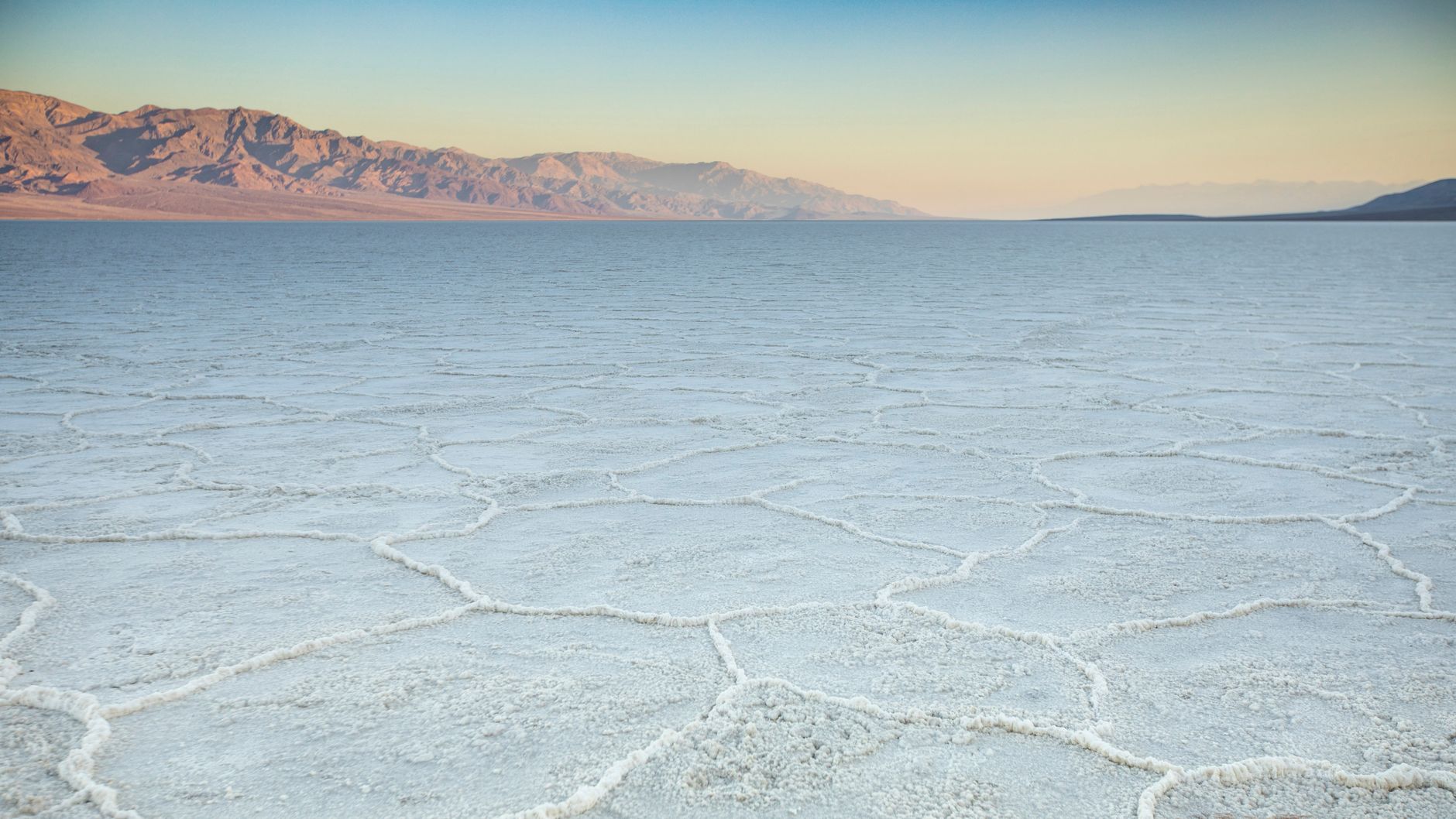
Arrive at the park's most famous feature and lowest point in North America to anchor your Death Valley experience.
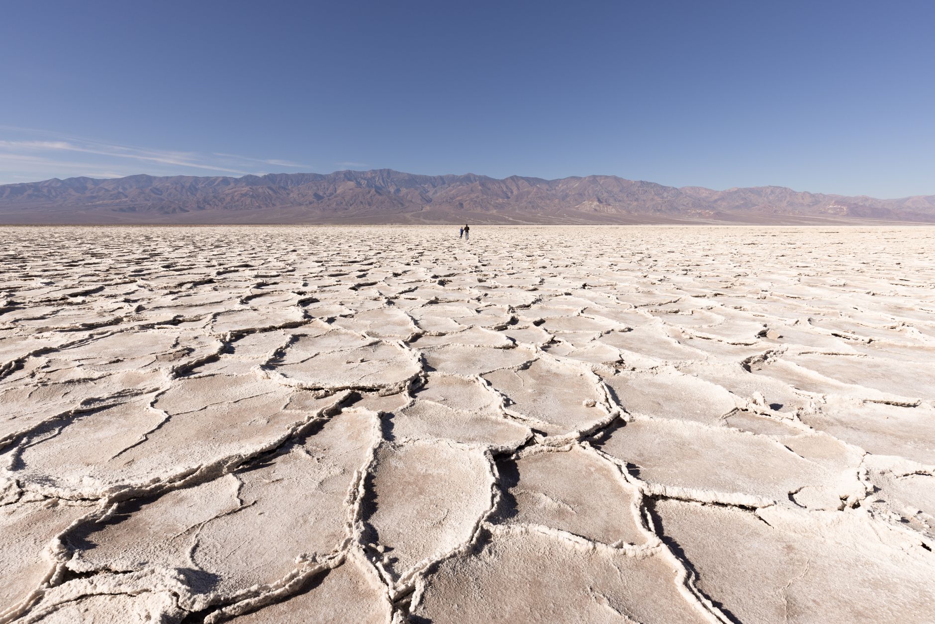
- Drive to the ranger station, pay your vehicle entrance fee, and head directly to Badwater Basin, the lowest point in North America at 282 feet below sea level.
- Walk among nearly 200 square miles of salt flats, photograph the geometric salt polygons, and snap a summit photo at the lowest-elevation marker sign with Telescope Peak visible across the valley.
Day 2: Badlands & Color-Striped Canyons
Stay: Another night at Furnace Creek; set alarm for sunrise if visiting Zabriskie Point at dawn.
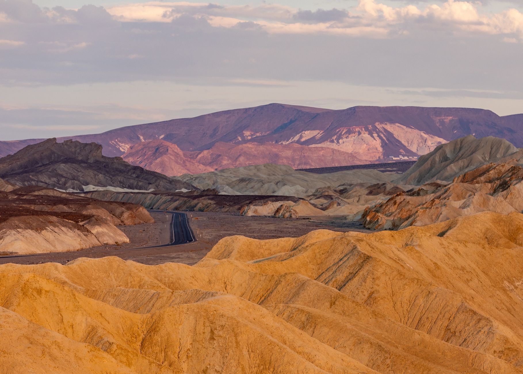
Experience Death Valley's layered geology firsthand—striped canyon walls and the dramatic Red Cathedral natural amphitheater.
- Hike into Golden Canyon's sculpted walls and climb to the Red Cathedral, a 600-foot natural amphitheater with vertically fluted stone.
- After descending, drive to Zabriskie Point (15 minutes north on CA-190) for famous sunrise or sunset views of Manly Beacon and badlands erosion patterns that sculpt the yellow and brown hillsides.
Day 3: Sand Dunes & Summit Overlook
Stay: Stay at Stovepipe Wells Village near the sand dunes, which has a restaurant, bar, gift shop, and 24-hour gas station.
Walk Death Valley's largest sand dune field, then ascend to Dante's View for sweeping Badwater Basin overlooks and sunset panoramas.
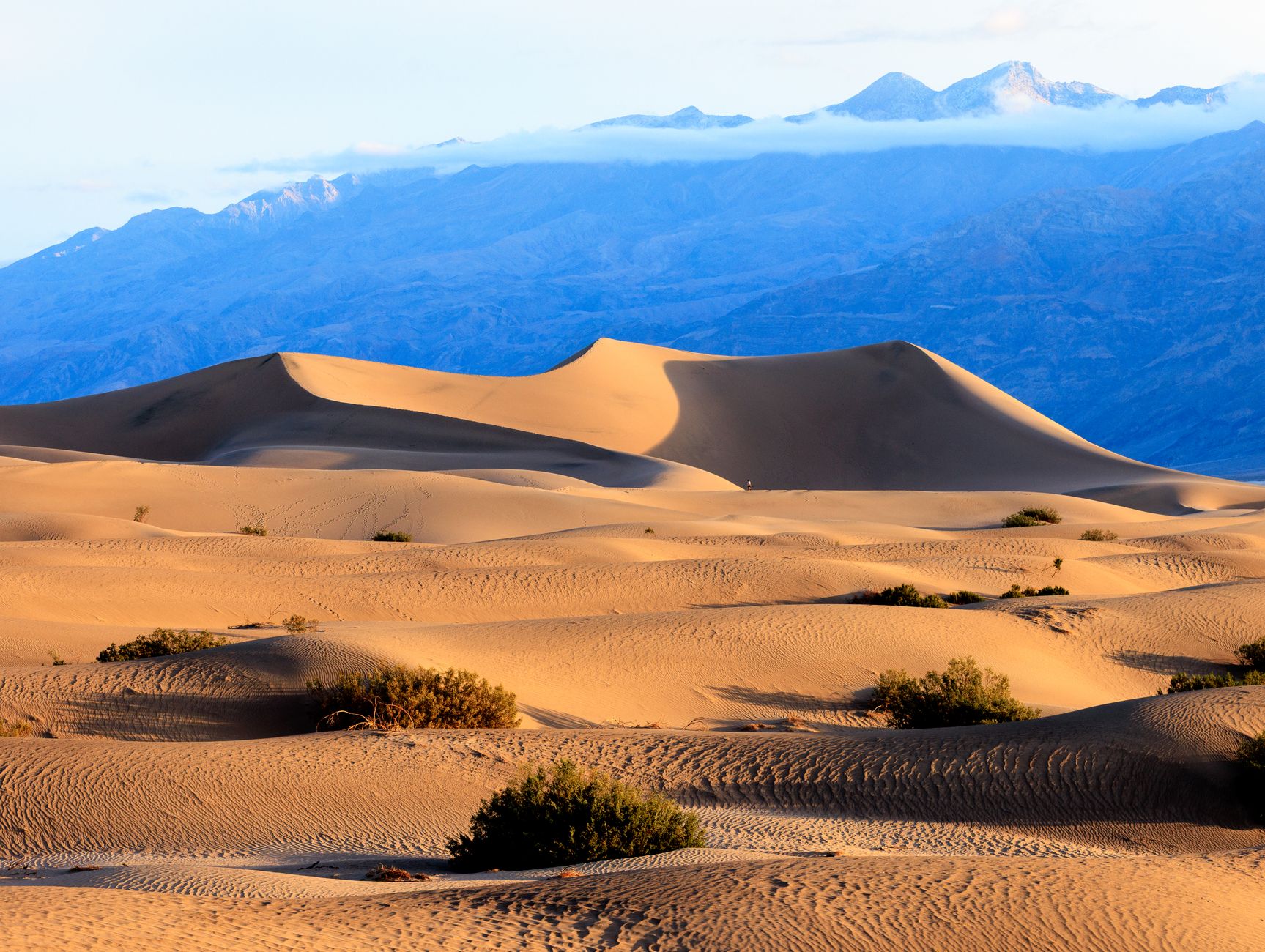
- Explore Mesquite Flat Sand Dunes—the park's largest dune field—watching shadow patterns sculpt the sand at sunrise or sunset.
- Then drive 45 minutes southeast to Dante's View, a 5,575-foot overlook where the white salt flats below and Panamint Range beyond create an expansive vista perfect for sunset photography and stargazing from an International Dark Sky Park.
Day 4: Departure or Extended Photography
Stay: Depart toward nearest gateway town (Pahrump, NV or Lone Pine, CA) or return to home base.
Conclude your Death Valley experience with time for favorite locations revisited or safe departure with full documentation.
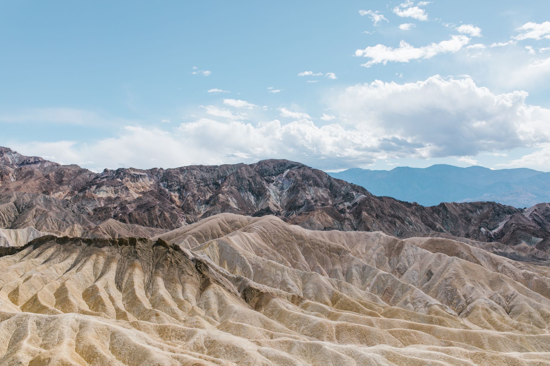
- Spend the morning revisiting your favorite viewpoint or trail from the past three days—Badwater's salt polygons, Zabriskie Point's badlands, or Mesquite Flat's dawn shadows—before departing.
- Or drive early toward the park exit (Pahrump, NV; Lone Pine, CA) with full documentation of your Death Valley summit-and-lowest-point pilgrimage.
Common Questions
What's the best time to visit Death Valley?
November through March when temperatures range from comfortable 50–90°F daytime. Peak visitation occurs March–April and November–December; book lodging months in advance. Summer heat exceeds 110°F with extreme risk; only early-morning hiking (before 10 AM) is safe.
How much water do I need for hiking?
Carry minimum 1–2 gallons of water per person per hiking day. Death Valley trails have zero water sources; dehydration in extreme heat leads to serious injury. Electrolyte replacement is also critical for longer hikes.
Are backcountry permits required?
Yes, backcountry camping permits are required and available on recreation.gov with a 6-month advance reservation window. Same-day permits are also issued until 11:59 PM daily. Day hikers do not need permits.
What roads are currently closed?
Bonnie Clare Road, Darwin Falls Road, and Hunter Mountain Road remain closed as of 2026 due to 2025–2026 flood damage. Most other major roads are open; check NPS conditions page before travel. Titus Canyon Road is currently open (closed October 1–September 30 annually).
Can I visit in summer?
Summer visits are not recommended. June–August temperatures exceed 110°F (July averages 116°F; record high is 134°F). All hiking must occur before 10 AM with 1–2 gallons water per person. Only experienced heat-adapted travelers should attempt summer visits.
Sources & Further Reading
- Death Valley National Park Plan Your Visit — National Park Service
- Things to Do at Death Valley — National Park Service
- Hiking Death Valley — National Park Service
- Death Valley Lodging — National Park Service
- Death Valley Entrance Fees and Passes — National Park Service
- Current Alerts and Road Conditions — National Park Service
- Death Valley Weather and Seasonal Information — National Park Service
- Badwater Basin — National Park Service
- Zabriskie Point Scenic Viewpoint — National Park Service
- Golden Canyon — National Park Service
- Mesquite Flat Sand Dunes — National Park Service
- Dante's View — National Park Service
- Stovepipe Wells Village — Stovepipe Wells Village
- The Inn at Death Valley / The Ranch at Death Valley — Furnace Creek Resorts
- Panamint Springs Resort — Panamint Springs Resort