Best Wildflower Viewing Spots in Death Valley National Park
Peak bloom Feb–Apr: Desert Gold carpets the valley, then wildflowers climb mountains through May.
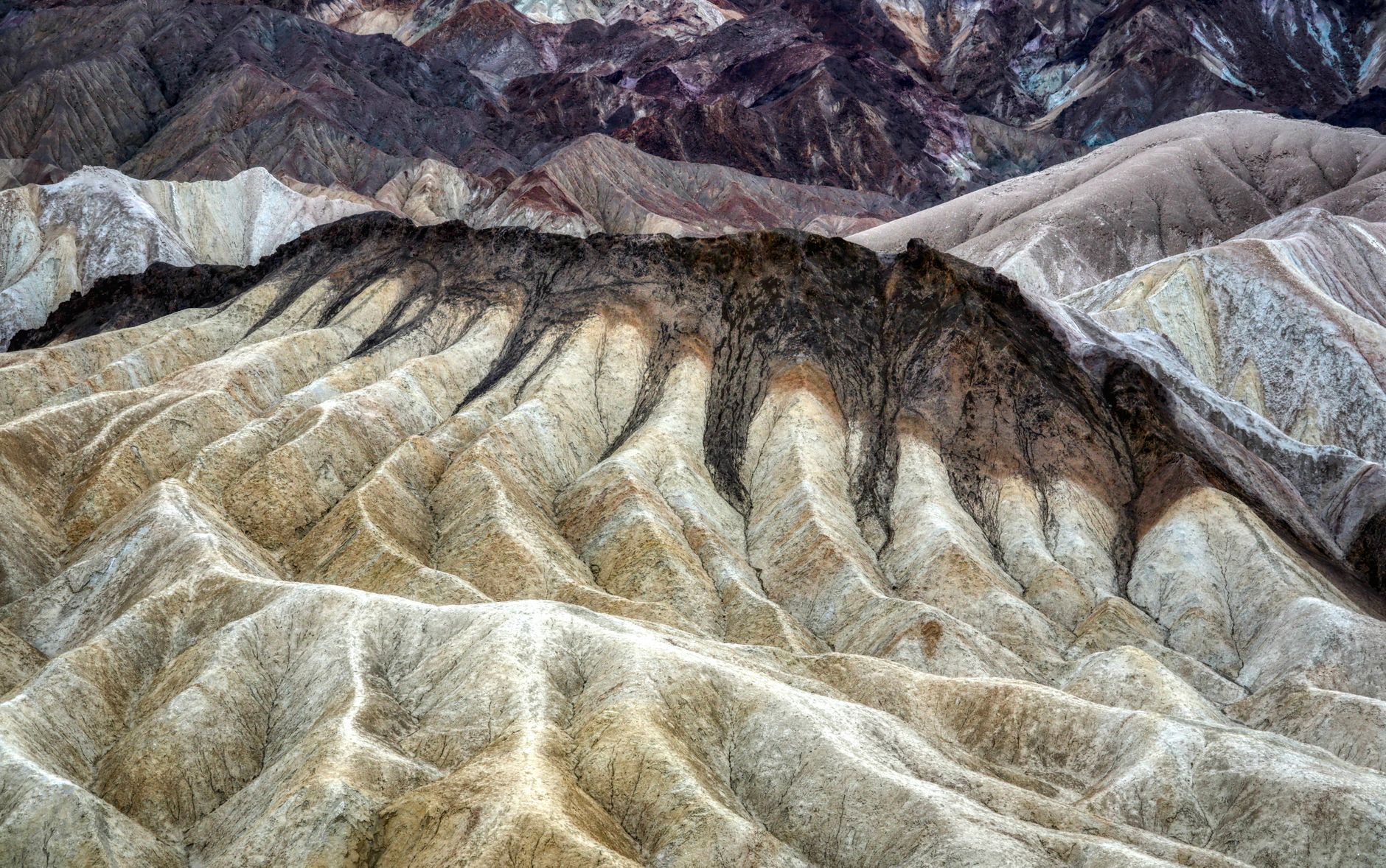
Death Valley transforms in spring. Wildflowers explode across the valley floor in February, climb the mountains through May, and the 2026 superbloom delivered the densest concentrations in years. Each elevation zone peaks at different times—a rolling wave of color that rewards timing.
- $30 Entrance Fee
- Feb–Apr Peak Bloom
- Sea level to 11,000 ft Elevation Range
- Late Feb–early Mar Best Time
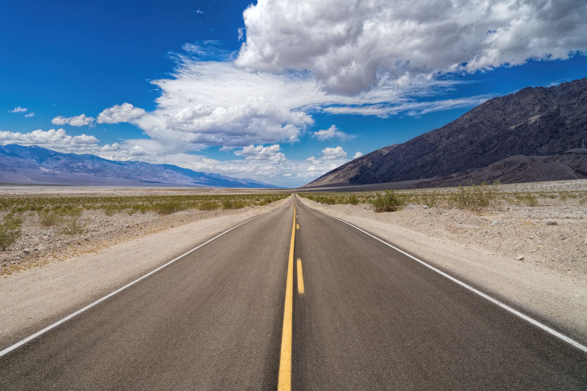
Badwater Road Wildflower Corridor — Central Death Valley
Paved drive through the densest wildflower display—Desert Gold blankets road shoulders Feb–Apr.
- Desert Gold and Notch-leaf Phacelia in continuous carpets
- Largest 2026 concentrations near Jubilee Pass and Ashford Mill
- Entirely vehicle-accessible via pullouts
- Golden Evening Primrose blooms peak mid-February to mid-March
VIEWING & ACCESS
The Badwater Road scenic drive runs south from near Furnace Creek toward Ashford Mill Ruins on paved pavement. Roadside pullouts allow vehicle-free wildflower viewing without hiking. In 2026, the largest flower concentrations cluster along the road near Jubilee Pass and toward Ashford Mill—Desert Gold carpets entire sections shoulder-to-shoulder with Notch-leaf Phacelia and Golden Evening Primrose.
PEAK TIMING
Low-elevation wildflower blooms typically run mid-February through mid-April, with peak crowds and flower density in late February and early March. Spring temperatures range 60–70°F in early morning, warming to 70–85°F by afternoon. Plan 2–3 hours of pullout exploration.
ESSENTIAL PREP
Arrive before 8am to secure parking; spaces fill by mid-morning during peak weeks. Bring a camera with macro capability or binoculars, sunscreen (SPF 30+), a wide-brimmed hat, water (2 liters minimum), and sturdy walking shoes for rough ground near pullouts.
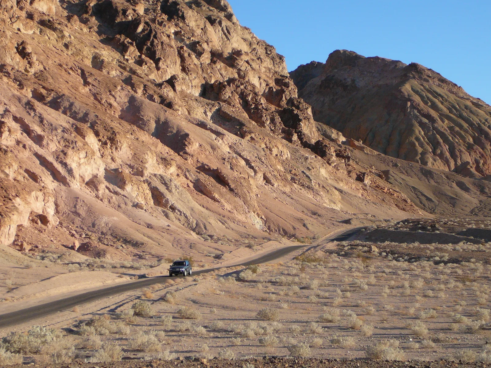
Titus Canyon — Northern Death Valley
Slot canyon with exceptional wildflower diversity—Desert Gold, poppies, phacelia in shaded Fall Canyon.
- 6-mile out-and-back into shaded Fall Canyon slot
- Desert star, Blazing star, Phacelia varieties
- Cooler canyon preserves blooms longer than exposed areas
- Prime wildflower viewing Feb–Apr
THE HIKE
Drive 2.7 miles on unimproved Titus Canyon Road (high-clearance vehicle recommended; 4WD ideal for rough sections) to reach the trailhead. A 6-mile out-and-back hike penetrates a shaded slot canyon called Fall Canyon, offering cooler conditions that support wildflower blooms longer than exposed valley areas.
WILDFLOWER CORRIDOR
Titus Canyon is one of Death Valley's prime wildflower viewing spots with exceptional species diversity. Expect Desert star, Blazing star, Desert Gold, poppies, multiple phacelia varieties including Notch-leaf Phacelia, and Death Valley sage between mid-February and mid-April. The slot canyon's shade preserves blooms when lower-elevation flowers fade.
LOGISTICS & TIMING
Park rangers close Titus Canyon Road during flash-flood risk; confirm access at Furnace Creek Visitor Center before driving. Allow 4–5 hours total (driving + hiking). Bring 3+ liters water, sun protection, and a wildflower field guide. Best visited late February through early March.
Artists Drive — Central Death Valley
Nine-mile scenic loop through mineral-striped hills with multicolored wildflowers visible from your car.
- 9-mile paved loop with no elevation gain
- Mineral-streaked hills in yellow, red, and purple tones
- Caltha-leaf Phacelia, Browneyes, desert sand verbena
- Telescope Peak views; afternoon light most dramatic
THE ROUTE
Artists Drive is a 9-mile paved loop through Death Valley's badlands south of Furnace Creek. The route winds through eroded hills striped with iron oxides, manganese, and other minerals creating natural color palettes of yellow, red, and purple. Pullouts dot the loop for photography and short walks. Elevation stays constant—no climbing required.
WILDFLOWER & COLOR
Spring wildflowers bloom throughout the hills—Desert Gold, Caltha-leaf Phacelia, Browneyes, desert sand verbena, Notch-leaf Phacelia, and Purple mat visible February through April. Afternoon light (2–5pm) renders the multicolored hillsides most dramatic, intensifying the contrast with spring blooms. This is Death Valley's best scenic drive for combining geology and wildflower viewing.
TIMING & CROWDS
Most scenic during late February through early March. Plan 1.5–2 hours for a leisurely drive with photo stops. Bring water, a camera with zoom, and polarized sunglasses to cut glare. Avoid midday heat; afternoon directional light best reveals both mineral stripes and wildflowers.
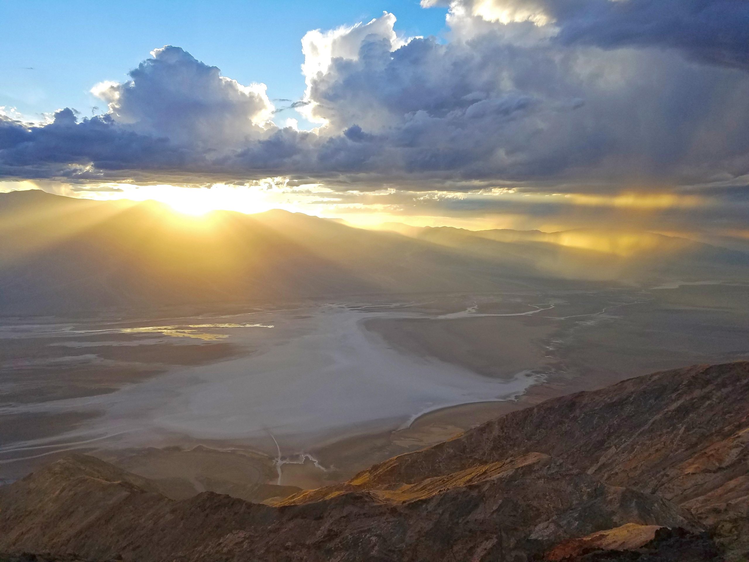
Dante's View Trail — Black Mountains East
Quick 0.9-mile climb to 5,000 feet with spring wildflowers and views spanning the entire valley.
- 0.9-mile round-trip to 5,000-foot overlook
- 209 feet elevation gain; moderate difficulty
- Panoramic views of Death Valley floor and Panamint Range
- Mid-elevation wildflower species peak late Feb–early Apr
THE HIKE
Dante's View Trail climbs 0.9 miles (209 feet elevation gain) to a 5,000-foot overlook perched above the Death Valley floor. The trail is well-maintained and moderate difficulty, manageable for most fitness levels. From the summit, you command views south across the entire valley floor, east to the Black Mountains, west to the Panamint Range, and north toward Furnace Creek.
WILDFLOWER SEASON
Spring wildflowers bloom at this higher elevation later than valley-floor species—peak viewing is typically late February through early April. The cooler 5,000-foot elevation supports different species than low-elevation trails. Colors are softest in early morning light.
LOGISTICS & TIMING
Trailhead is 45 minutes south of Furnace Creek on Badwater Road. Hike early morning when it's coolest (temps can exceed 80°F by afternoon in spring). Round-trip takes 1 hour hiking plus 30 minutes for summit views. Bring 2 liters water, sun protection, and a camera. Ridge extensions to Mt. Perry are available for stronger hikers (8 miles round-trip, 1,200 ft gain).
Eureka Dunes — Northern Death Valley
Remote 2.6-mile dune loop showcasing rare endemic Evening Primrose amid panoramic desert vistas.
- 2.6-mile loop with 620 feet elevation gain
- Eureka Dunes Evening Primrose—rare endemic wildflower
- Requires high-clearance 4WD vehicle access
- Panoramic views of remote northern desert
ACCESS & VEHICLE REQUIREMENTS
Eureka Dunes is Death Valley's most remote wildflower location, requiring high-clearance 4WD vehicle access on rough park roads. The trailhead sits in northern Death Valley, far from Furnace Creek (1+ hour drive). No established trail exists; hikers follow the path of least resistance toward dune summits. Only experienced off-road drivers should attempt this area.
THE RARE WILDFLOWER
Eureka Dunes hosts the Eureka Dunes Evening Primrose, a rare endemic wildflower found nowhere else on Earth. This specialized species blooms spring months amid the shifting sand. The dunes themselves are unusual geological features in Death Valley, offering a radically different landscape from typical valley floor views.
TIMING & CONDITIONS
Best visited October through May when temperatures are tolerable. Spring (March–April) sees both the rare evening primrose and excellent visibility. Dunes are extremely windy and exposed; bring 4+ liters water, sun protection, high-SPF sunscreen, and sturdy hiking boots with good ankle support. Plan 4–5 hours total including driving and hiking.
Natural Bridge Canyon Trail — Central Death Valley
Short 1.3-mile hike to a 35-foot natural arch with desert five-spot wildflower endemic to the area.
- 1.3-mile round-trip with only 300 feet elevation gain
- Desert five-spot wildflower blooms mid-Feb to Apr
- 35-foot rock arch carved by erosion
- Less crowded than main valley attractions
ACCESS & ROAD CONDITIONS
Natural Bridge Canyon Trail starts 13 miles south of Highway 190 via rough, unpaved Badwater Road. The last 1.5 miles to trailhead are particularly rough; high-clearance vehicles recommended. Allow 30–45 minutes driving from Furnace Creek, plus extra time for slow road speeds.
THE HIKE & ARCH
From the trailhead, the 1.3-mile round-trip hike winds through a narrow canyon to a 35-foot natural bridge—a rock arch carved naturally by centuries of erosion. The uneven, occasionally slick gravel requires sturdy footwear. The short distance and elevation gain (300 ft) make it accessible for most hikers.
WILDFLOWER VIEWING & TIMING
Desert five-spot wildflower blooms mid-February through April within the canyon. Peak bloom is typically late February to early March. The canyon's narrow walls provide some shade, helping blooms persist longer than exposed areas. Allow 1.5–2 hours total. Bring 2 liters water, sun protection, and a camera.
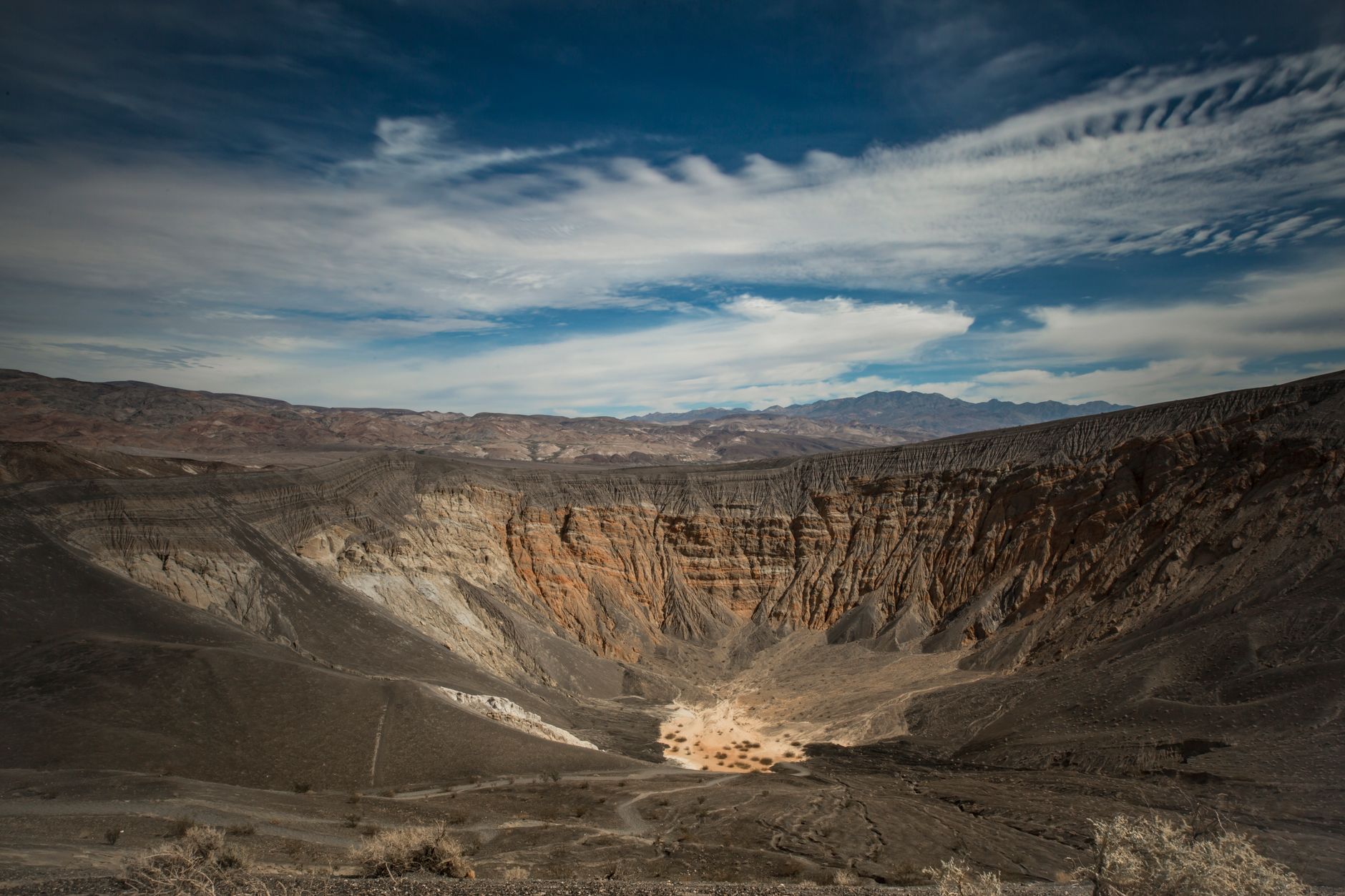
Ubehebe and Little Hebe Crater Trail — Northwestern Panamint
1.8-mile loop around two massive volcanic craters with spring wildflowers and 4.8-star ratings.
- 1.8-mile loop with 354 feet elevation gain
- Two enormous volcanic crater formations
- Desert wildflowers blooming Feb–Apr
- Rated 4.8 stars; well-maintained trail
THE CRATERS
Ubehebe Crater is a massive volcanic explosion crater measuring over 600 feet deep with steep cinder-covered walls. The 1.8-mile loop trail circles both Ubehebe and the smaller Little Hebe Crater nearby. The rim trail is well-maintained, offering continuous views into these geologic features. The craters formed relatively recently in Death Valley's geologic history—within the last few thousand years.
WILDFLOWER BLOOM & ECOLOGY
Spring wildflowers bloom throughout the crater rim and nearby desert floor from February through April. The higher elevation (around 2,500 ft) and volcanic soil create microhabitats supporting diverse species. Wildflower peak is typically mid-March. Look for blossoms among the cinder and native shrubs.
TIMING & LOGISTICS
Distance is only 1.8 miles with moderate elevation gain (354 ft), making it accessible for most visitors. Round-trip hiking time is 1–1.5 hours. The area gets very windy; bring a wind-resistant layer in addition to sun protection. A large paved parking lot accommodates RVs and tour buses. Best visited October through April.
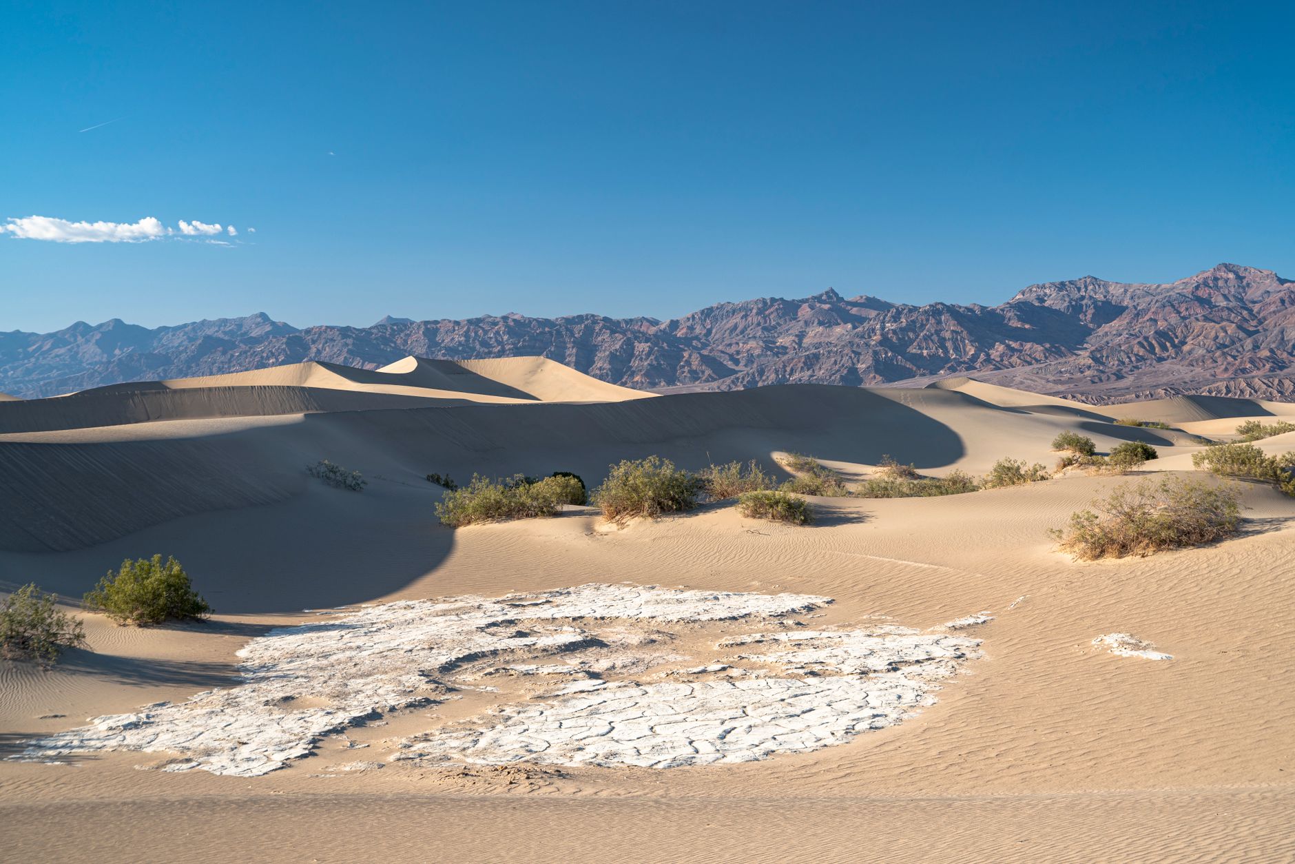
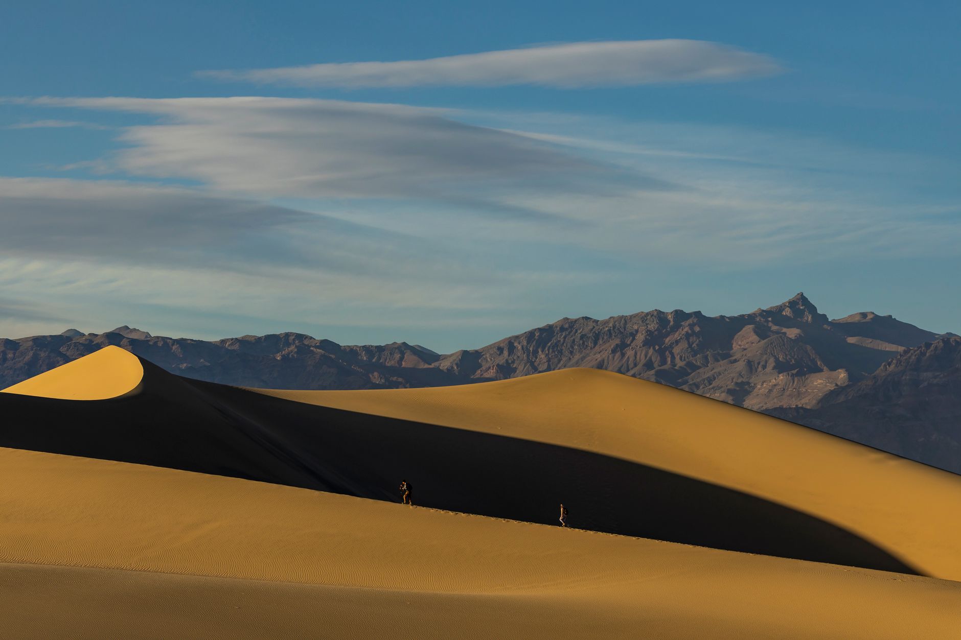
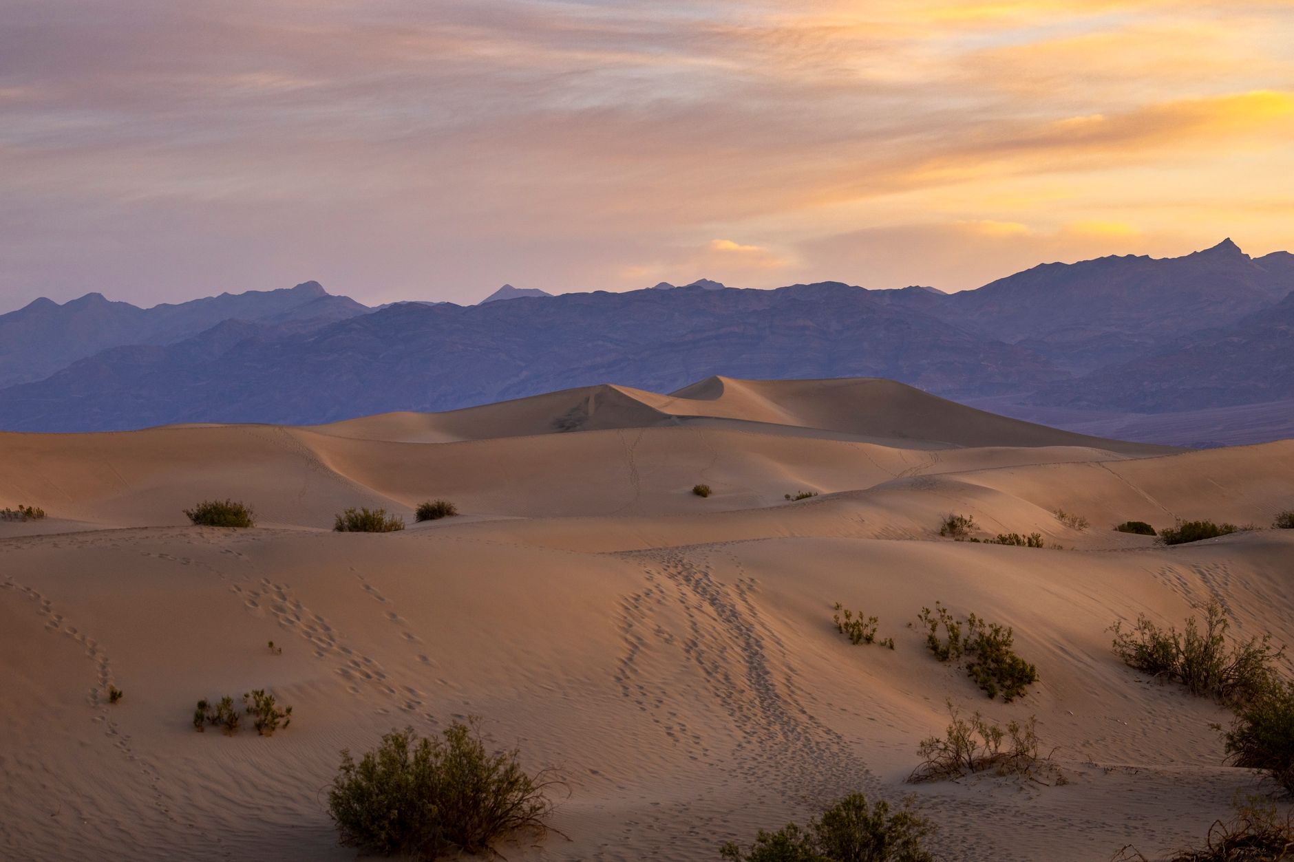
Mesquite Flat Sand Dunes — Central Death Valley
Two-mile off-trail romp across soft sand with wildflowers blooming in the southern dune section.
- 2-mile out-and-back with no defined trail
- 185 feet elevation gain (soft sand climbing)
- Wildflowers in southern dune section Feb–Apr
- Valley views and scenic sand formations
OFF-TRAIL DUNE EXPLORATION
Mesquite Flat Sand Dunes offer a different Death Valley experience—an open-desert hike with no established trail. The 2-mile out-and-back follows footprints through soft sand or creates its own path. The dunes start flat and gentle, then steepen toward the far end. Soft ground makes walking feel more strenuous than the distance suggests.
WILDFLOWER VIEWING
Spring wildflowers bloom primarily in the southern section of the dunes, visible February through April. The blooms are sparser than valley-floor concentrations but create pockets of color against the tan sand. Peak bloom is typically late February through early March. Bring binoculars to spot distant blossoms across the sandy expanse.
DESERT LOGISTICS & TIMING
The dunes are extremely exposed to sun with zero shade. Bring 3+ liters water, high-SPF sunscreen, a wide-brimmed hat, and UV-blocking sunglasses. Early morning hiking (before 10am) keeps you cooler. The rounded dune tops offer 360° valley views. Allow 1.5–2 hours for a relaxed 2-mile walk.
Common Questions
When is the best time to see Death Valley wildflowers?
Mid-February through mid-April sees peak low-elevation blooms. Late February to early March offers the largest concentrations and most species diversity. March brings mid-elevation blooms (3,000–5,000 ft). High-elevation blooms (above 5,000 ft) peak late April through May. The 2026 superbloom began in late February.
Do I need a permit or reservation to hike these trails?
Day hiking requires no permits. Furnace Creek Campground requires reservations October 15–April 15 via recreation.gov. The park is open daily; entrance fee is $30 per private vehicle (valid 7 days).
What should I bring for wildflower viewing?
Bring 2–3 liters water per person, high-SPF sunscreen (30+), a wide-brimmed hat, sturdy hiking boots, a camera or binoculars, a wildflower field guide, and sun-protective clothing. Spring temperatures can swing 20–30°F between morning and afternoon.
How crowded are these spots during peak bloom?
Very crowded late February through early March. Arrive before 8am to secure parking at popular pullouts. Vehicle-accessible sites (Badwater Road, Artists Drive) fill quickly. Remote trailheads (Titus Canyon, Eureka Dunes) see fewer visitors but require 4WD.
Can I see wildflowers if I visit in May or June?
Yes, but different species. High-elevation wildflowers (5,000–11,000 ft) peak early May to mid-July. Low-elevation blooms finish by mid-April. May temperatures exceed 90°F at lower elevations, making heat a concern. April offers the best range of blooming species across all elevations.
Sources & Further Reading
- Death Valley Wildflower Bloom Information — National Park Service
- Death Valley National Park Hiking — National Park Service
- Titus Canyon — Death Valley NPS — National Park Service
- Ubehebe Crater — Death Valley NPS — National Park Service
- Death Valley Wildflower Superbloom 2026 — Flying Dawn Marie