Perfect Weekend in Canyonlands National Park
Two days threading Utah's most dramatic canyon crossroads, sunrise to summit.
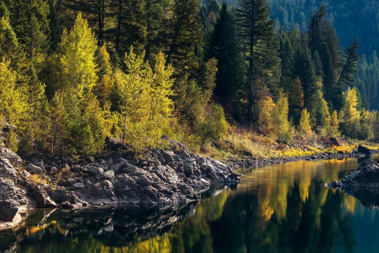
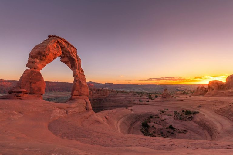
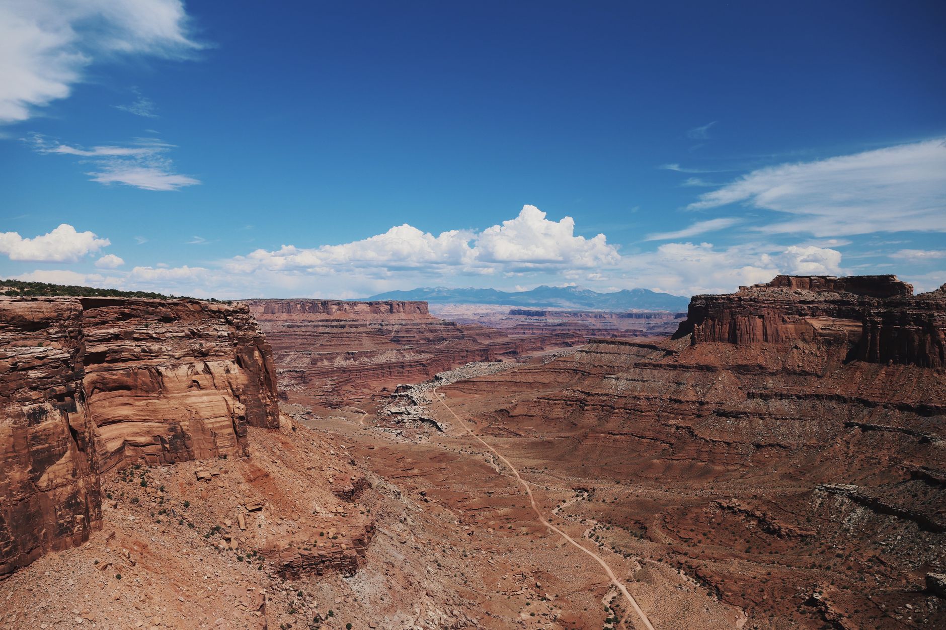
Canyonlands slices Utah's high desert into four distinct districts carved by two mighty rivers, each with towering mesas, slot canyons, and red-rock spires that rise a thousand feet above canyon floors.
- 337K Acres
- 2 Rivers (Colorado, Green)
- 60+ Miles of trails
- Apr–May, Sep–Oct Best seasons
Day 1: Mesa Arch Sunrise & Canyonlands Overlooks
Stay: Camp at Willow Flat Campground (12 first-come sites, $15/night). No water; fill up at visitor center.
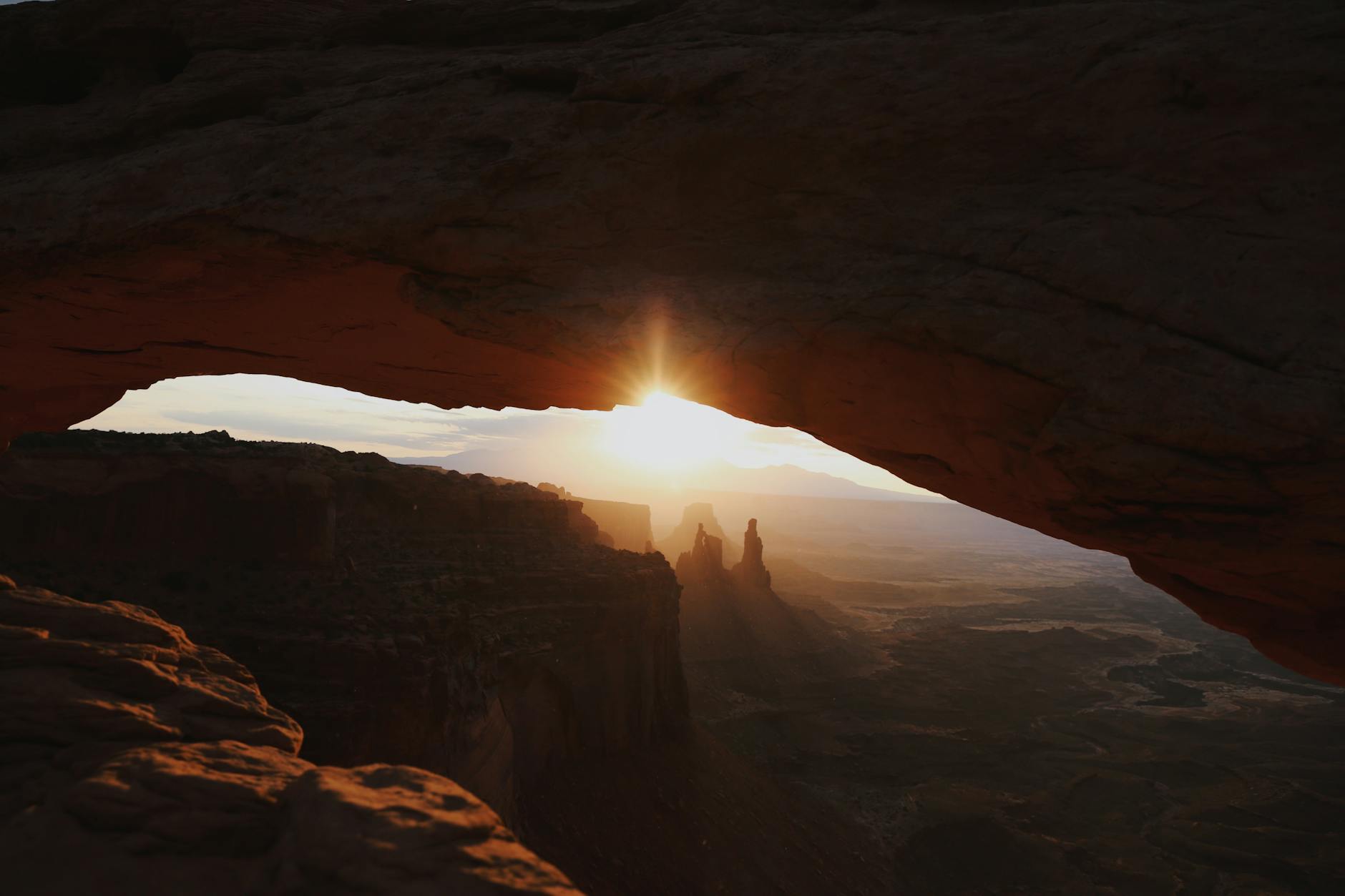
Mesa Arch's canyon-framed sunrise is Canyonlands' most iconic moment; the day's overlook loop sets the trip's scale.
- Arrive by dark and position for Mesa Arch sunrise—a 0.6-mile walk to a natural stone frame overlooking Buck Canyon and the La Sal Mountains.
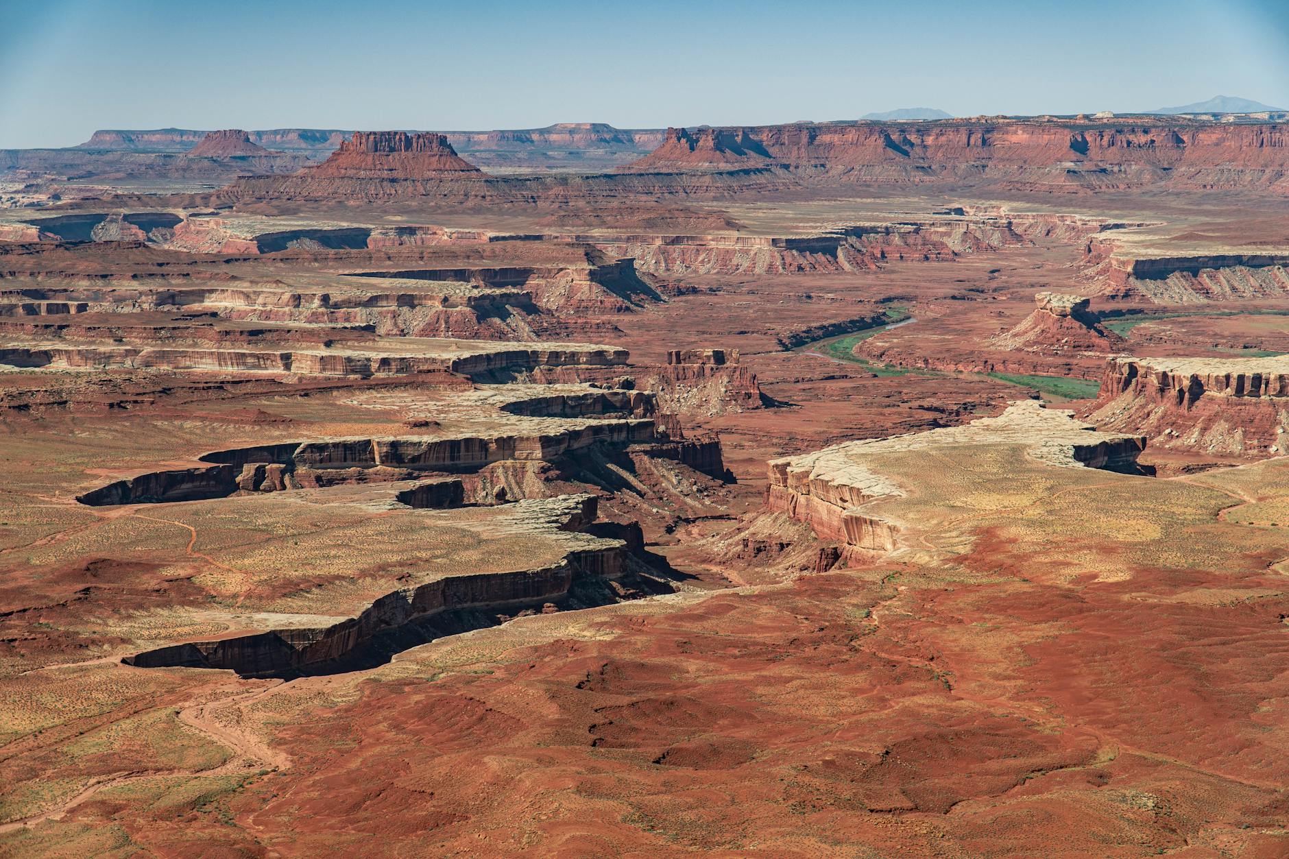
- By mid-morning, loop Grand View Point's 1.8-mile scenic rim walk, then visit Upheaval Dome's twin overlooks (choose the 0.6-mile or 1.2-mile version).
- Finish at sunset on Green River Overlook, 1,300 feet above the namesake river.
Day 2: Chesler Park Loop Through Red Spires
Stay: Return to Moab (90 minutes) for lodging and dinner, or camp at Squaw Flat if you reserved ahead.
The Chesler Park Loop is Canyonlands' signature backcountry hike, threading remote cedar-mesa spires and the iconic Joint slot canyon in one full-day immersion.
- Drive 90 minutes southeast to the Needles District and tackle the Chesler Park Loop—a 10.7-mile round-trip through Cedar Mesa sandstone pinnacles, across the Joint slot canyon's shadowy passage, and across slickrock benches.
- The route gains 2,140 feet with cairn-marked navigation; stay attentive through confusing stretches and treat cryptobiotic soil crusts as protected ground.
Common Questions
Can I see both Island in the Sky and Needles in one day?
Technically yes—they're separated by a 90-minute drive—but you'll spend more time driving than hiking. For a meaningful experience at each district, plan two separate days or stay three nights. Most weekend visitors choose one district or split two nights as this itinerary does.
Do I need a permit to hike day trails like Mesa Arch or Chesler Park Loop?
No. Day-use hiking on marked trails is free (after the $30 entrance fee). Permits are required only for backcountry camping, river trips, and four-wheel-drive White Rim Road routes. However, backcountry overnight trips in Canyonlands are very competitive; permits open 4 months in advance and fill quickly.
Can I camp at both Willow Flat (Island in the Sky) and Squaw Flat (Needles)?
Yes. Willow Flat is first-come, first-served (12 sites, $15/night, year-round). Squaw Flat's Loop B is reservable mid-March through mid-November up to 6 months ahead on recreation.gov ($20/night). Loop A is first-come. Most weekends both fill by early afternoon, so arrive by 10am or have a backup plan (Moab hotels, BLM camping nearby).
What's the best time of year to visit Canyonlands?
Spring (April–May) and fall (September–October) offer 60–80°F days and cooler nights, ideal for hiking. Summer temps regularly exceed 100°F and are dangerous for strenuous activity. Winter is quiet but snow can close trails and alpine overlooks. May and October are the busiest and hardest to book.
How much water should I carry, and where can I refill?
Carry at least 1 gallon per person per day. Water sources in Canyonlands are unreliable; many springs on topo maps have dried up. Your safest bet: fill up at the Island in the Sky Visitor Center (spring–fall, outside spigot) or Needles Visitor Center. Willow Flat has no water; Squaw Flat has seasonal water.
Sources & Further Reading
- Plan Your Visit — National Park Service
- Hiking — National Park Service
- Trip Itineraries — National Park Service
- Basic Information — National Park Service
- Fees & Passes — National Park Service
- Weather — National Park Service
- Grand View Point Overlook and Trail — National Park Service
- Upheaval Dome Overlook Trails — National Park Service
- Druid Arch Trail — National Park Service
- Island in the Sky Campground — National Park Service
- Alerts & Conditions — National Park Service
- Syncline Loop Trail — National Park Service
- Green River Overlook — National Park Service
- The Needles Campground — National Park Service
- Mesa Arch Trail Overview — National Park Service
- White Rim Road — National Park Service
- Island in the Sky District — National Park Service
- The Needles District — National Park Service
- Permits & Reservations — National Park Service
- Canyonlands National Park Needles District Campground — Recreation.gov