Great Smoky Mountains in One Day: A Realistic 1-Day Itinerary
- No entrance fee — one of the only major U.S. national parks that’s free to visit
- Parking fills by 9:30 AM at most trailheads during peak season — arrive by 7:30 AM
- Choose your entry point first: Gatlinburg (TN) for Cades Cove; Cherokee (NC) for Clingmans Dome
- No cell service inside most of the park — download offline maps before you enter
- No gas stations inside park boundaries — fill up in Gatlinburg or Cherokee
- Peak crowds: mid-July through mid-August and mid-October through early November (fall foliage)
Great Smoky Mountains National Park rewards a single day — as long as you plan around two realities: it’s the most visited national park in the country, and most of it is accessed by a two-lane road that backs up badly by mid-morning. A focused 1-day Great Smoky Mountains itinerary gets you Clingmans Dome, a waterfall, wildlife, and a scenic ridge crossing without the afternoon gridlock that catches less-prepared visitors off guard.
We’ve planned day trips to GSMNP from both the Tennessee and North Carolina sides, and the single biggest variable is which entry point you choose. Pick the right one for where you’re coming from and the right main stop for your group, and the day clicks into place.
Before You Go: What to Know
Great Smoky Mountains National Park does not charge an entry fee — making it one of only a few major parks where admission is free as of 2026. No America the Beautiful pass is required, and there are no timed entry permits for the main park roads under normal conditions. That said, Clingmans Dome Road operates on a vehicle reservation system during peak season — check nps.gov/grsm for whether your visit date requires one.
Two things most itineraries skip that actually matter:
Fill your gas tank before entering. There are no gas stations inside the park boundaries. The nearest options are in Gatlinburg, TN, or Cherokee, NC — depending on which side you enter. Running low mid-day while stuck on the Cades Cove loop is a situation worth avoiding entirely.
Assume no cell service. Signal drops across most of the park interior. Download your maps offline before you leave — Google Maps and AllTrails both support this — and download the free NPS app at nps.gov while you still have a connection.
Choosing Your Entry Point: Tennessee or North Carolina?
This decision shapes your entire day, and most itineraries default to Gatlinburg without explaining why.
Enter from Gatlinburg, TN if you’re coming from Knoxville, Nashville, or anywhere in the eastern Tennessee corridor. Park at the Sugarlands Visitor Center (free, always open during park hours, has restrooms and a quick orientation film). Rangers here can tell you about road conditions and current wildlife activity. From Sugarlands you have direct access to Little River Road, the Laurel Falls trailhead, and the turn toward Cades Cove.
Enter from Cherokee, NC if you’re coming from Asheville, western North Carolina, or anywhere east of the park. Start at the Oconaluftee Visitor Center, where a large elk herd grazes the adjacent meadow — most active in early morning and again at dusk. From Oconaluftee, Clingmans Dome is 20 miles and Newfound Gap is 16 miles. In our experience, this side is significantly less crowded at the start of the day, and it puts the park’s highest point within 30 minutes of your entry.
Your 1-Day Great Smoky Mountains Itinerary
Morning (7:00 AM–11:00 AM): Get In Early
Arrive at your chosen entry point by 7:30 AM. This is the single most important advice we can offer. Parking at the Laurel Falls trailhead fills completely by 9:00–9:30 AM on summer and fall weekends. When the lot is full, rangers close the entrance and visitors wait in a vehicle queue that can stretch for half a mile. The same dynamic plays out at the Alum Cave trailhead and along the Cades Cove loop entrance. An early start eliminates this problem entirely.
Tennessee side morning: Stop briefly at Sugarlands, then drive Little River Road 3.9 miles to the Laurel Falls trailhead. The trail is 2.6 miles round trip on a paved path with about 300 feet of elevation gain. It’s accessible for most fitness levels and leads to a 75-foot cascade in two sections. Even if waterfalls aren’t your main focus, this makes for a strong first hour that leaves plenty of park left.
North Carolina side morning: Walk the Oconaluftee meadow boardwalk to watch the elk, then drive north on Newfound Gap Road. Stop at one of the roadside overlooks between miles 10 and 14 — Morton Overlook at mile 14 is one of the best long-range views in the park on a clear day. Continue to Newfound Gap itself for the state-line view at 5,046 feet before deciding whether to continue to Clingmans Dome.
Sturdy waterproof boots make a real difference on Smoky Mountain trails — wet roots and rocky creek crossings are the norm, even on paved paths like Laurel Falls.

Midday (11:00 AM–2:00 PM): The Centerpiece
This is where you commit. The two top options in the park work differently, so we’ll describe both honestly.
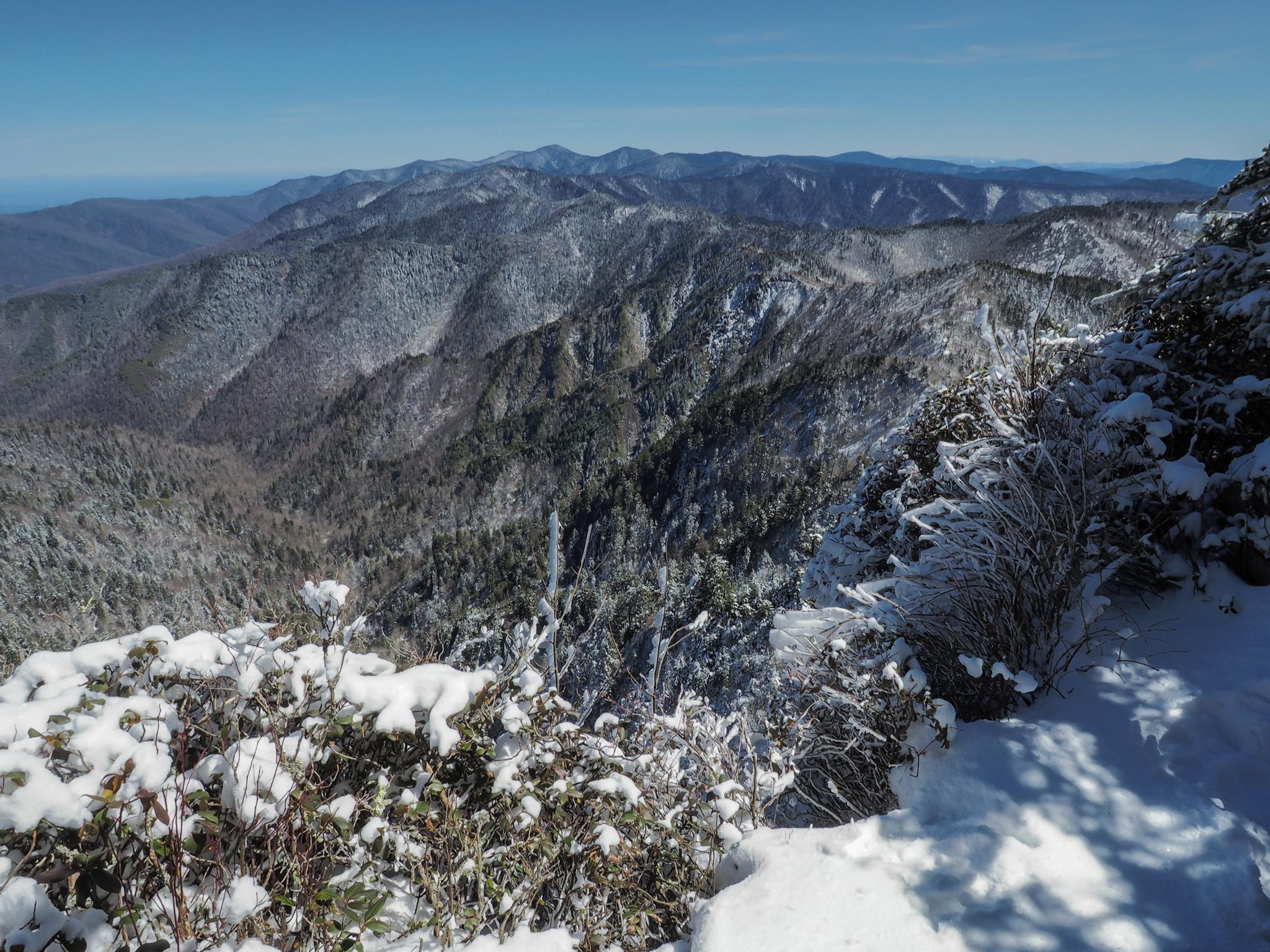
Clingmans Dome is the highest point in the Smoky Mountains at 6,643 feet — also the highest point along the entire Appalachian Trail. The half-mile paved trail from the parking area to the observation tower has an average grade of about 12%, which is steeper than it sounds. Budget a full 90 minutes for the drive from Newfound Gap, the walk up, time at the top, and the walk down. Views from the tower extend up to 100 miles on a clear day.
Cades Cove is an 11-mile one-way loop road through a wide, open valley on the Tennessee side. We’ve found it to be the best single location in the park for watching black bears, white-tailed deer, and wild turkeys in their natural habitat — though wildlife sightings are never guaranteed. The loop also takes you past well-preserved 19th-century structures: log cabins, a working grist mill, and three historic churches. One downside: the loop can back up significantly in the afternoon, especially on weekends. Arriving at the Cades Cove entrance before noon keeps you ahead of the congestion.
Afternoon (2:00 PM–5:00 PM): Waterfall Hike or Scenic Drive
If you spent the morning on the Tennessee side, use the afternoon for a waterfall or for the Newfound Gap Road crossing — driving the 31-mile ridge road between Gatlinburg and Cherokee and back gives you continuous mountain views with no hiking required.
If you want a waterfall on the Tennessee side, Grotto Falls is a 2.6-mile round trip through old-growth hemlock forest to a 25-foot cascade you can walk directly behind. It’s moderately trafficked compared to Laurel Falls and significantly more interesting as an experience.
Abrams Falls is the other frequently recommended option: 5 miles round trip, rocky terrain in places, and worth it for the 20-foot falls at the end — but only if your group has the energy and time. Most visitors who arrive at the trailhead after 2:00 PM don’t finish before 5:00 PM.
Afternoon thunderstorms roll in fast across the Smokies from May through September. A packable rain shell that stuffs into its own pocket is worth the small space it takes in your daypack.

Evening (5:00 PM–7:00 PM): Wildlife Viewing Before You Leave
The hour before sunset is the most productive wildlife window of the day, and most one-day itineraries don’t account for it.
If you’re on the Cherokee side, return to the Oconaluftee meadow. The elk herd — one of the largest in the eastern U.S. — feeds here actively in the evenings, and the meadow provides open sightlines that make it genuinely easy to observe them. This is a highlight that Tennessee-side itineraries almost never mention.
If you’re finishing on the Tennessee side, a slow drive through Cades Cove in the late afternoon often produces more wildlife activity than the same loop at midday.
Logistics: Parking, Crowds, and Road Conditions
Peak season runs from mid-July through mid-August and again from mid-October through early November (fall foliage). During these windows, parking lots at major trailheads fill before 9:30 AM on any weekend. We recommend treating the 7:00 AM arrival advice as non-negotiable if your visit falls in either window.
| Parking Area | Side | Fills By (Peak Season) |
|---|---|---|
| Sugarlands Visitor Center | TN | Rarely fills before 10 AM |
| Laurel Falls trailhead | TN | 9:30 AM |
| Alum Cave trailhead | TN | 9:00 AM |
| Clingmans Dome parking area | Both | 10:00 AM — reservation may be required |
| Oconaluftee Visitor Center | NC | Rarely fills before 10 AM |
Newfound Gap Road (US-441) is the only paved road crossing the park from north to south — 31 miles between Gatlinburg and Cherokee. No other road connects the two sides. If you want to see both entry areas in one day, plan this crossing deliberately rather than discovering it mid-afternoon.
Mountain weather changes quickly. Temperatures at Clingmans Dome typically run 10–20°F cooler than at the park entrances, and afternoon thunderstorms are common from May through September. Check the NPS weather forecast at nps.gov/grsm before heading out.
Where to Stay If You’re Spending the Night
Gatlinburg and Pigeon Forge, TN offer the broadest selection of hotels and cabin rentals. Cherokee, NC is quieter, closer to the southern entrance, and a practical base if you’re combining GSMNP with a trip to Asheville (60 miles east).
Inside the park, Elkmont Campground (Tennessee side, 220 sites) and Smokemont Campground (North Carolina side, 142 sites) are the two largest options. Both require advance reservations — often 3 to 6 months in advance for summer weekends — through recreation.gov. Cancellations do open walk-in availability occasionally, but relying on it during peak season is risky.
For full planning information, see our Great Smoky Mountains National Park guide.
What to Pack for a Day at Great Smoky Mountains
Mountain weather inside the park can differ sharply from conditions in the gateway towns. Pack for what the ridge will feel like, not what your hotel parking lot feels like in the morning.
- Layered clothing — temperatures swing 15–20°F between the valley floor and Clingmans Dome
- Rain jacket or packable shell — afternoon thunderstorms are common May through September
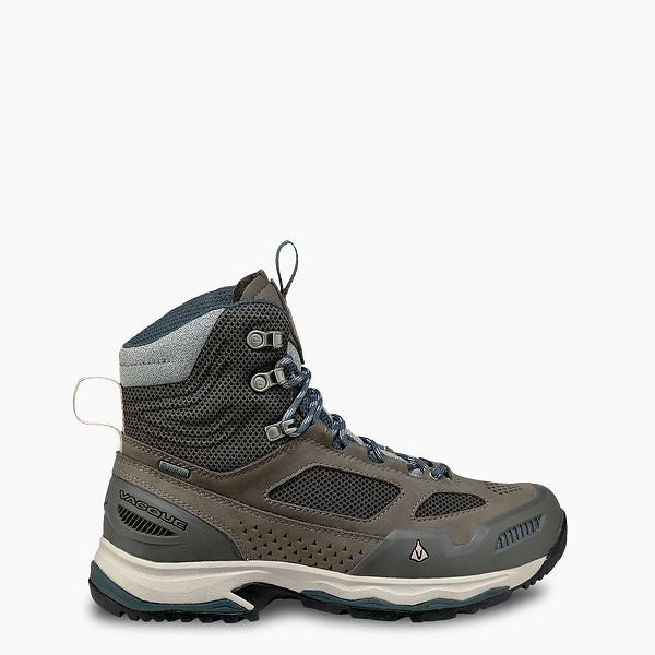
- Sturdy, closed-toe footwear — paved trails like Laurel Falls still have wet roots and uneven edges
- Water — at least 2 liters per person — no potable water on most trails between trailheads
- Snacks or a packed lunch — there are no food concessions inside the park
- Sunscreen and insect repellent for lower-elevation areas
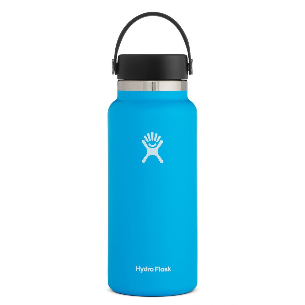
An insulated bottle keeps water cold through a full day of Smoky Mountain hiking — trail temps swing wildly between shaded coves and exposed ridgelines.
The women’s version of the Vasque Breeze AT GTX offers the same waterproof Gore-Tex membrane and Vibram outsole in a women’s-specific fit — a solid choice if you’re splitting gear purchases.
Plan Your Visit
A single day in Great Smoky Mountains will not cover everything in the park — that’s the honest version of this guide. The visitors who enjoy it most pick one or two experiences and commit to them fully, rather than rushing between every major landmark.
Choose your entry point based on where you’re driving from. Arrive by 7:30 AM. Let the timeline above handle the rest.
Before your trip, check nps.gov/grsm for current road closures, any timed entry requirements, and trail conditions. Conditions change seasonally and after weather events.