Camas Road: Glacier National Park West Side Scenic Drive Guide (2026)
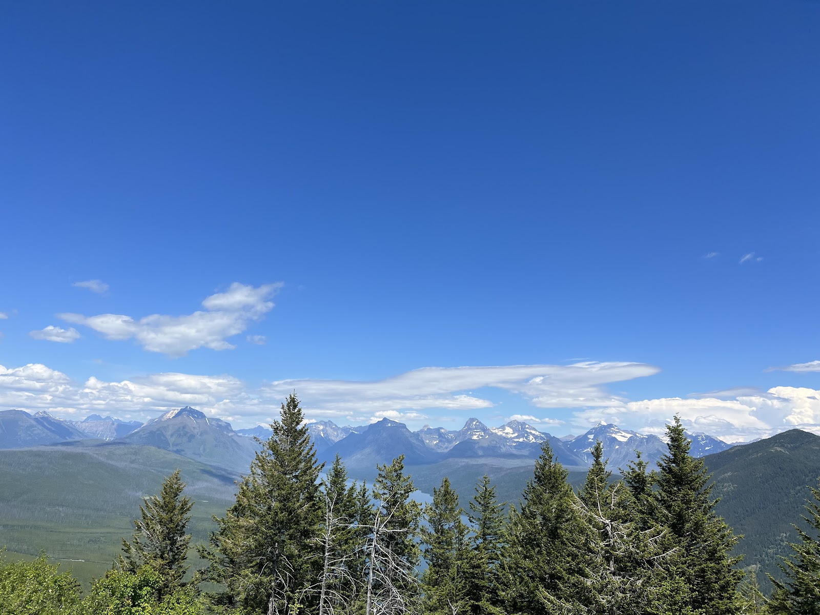
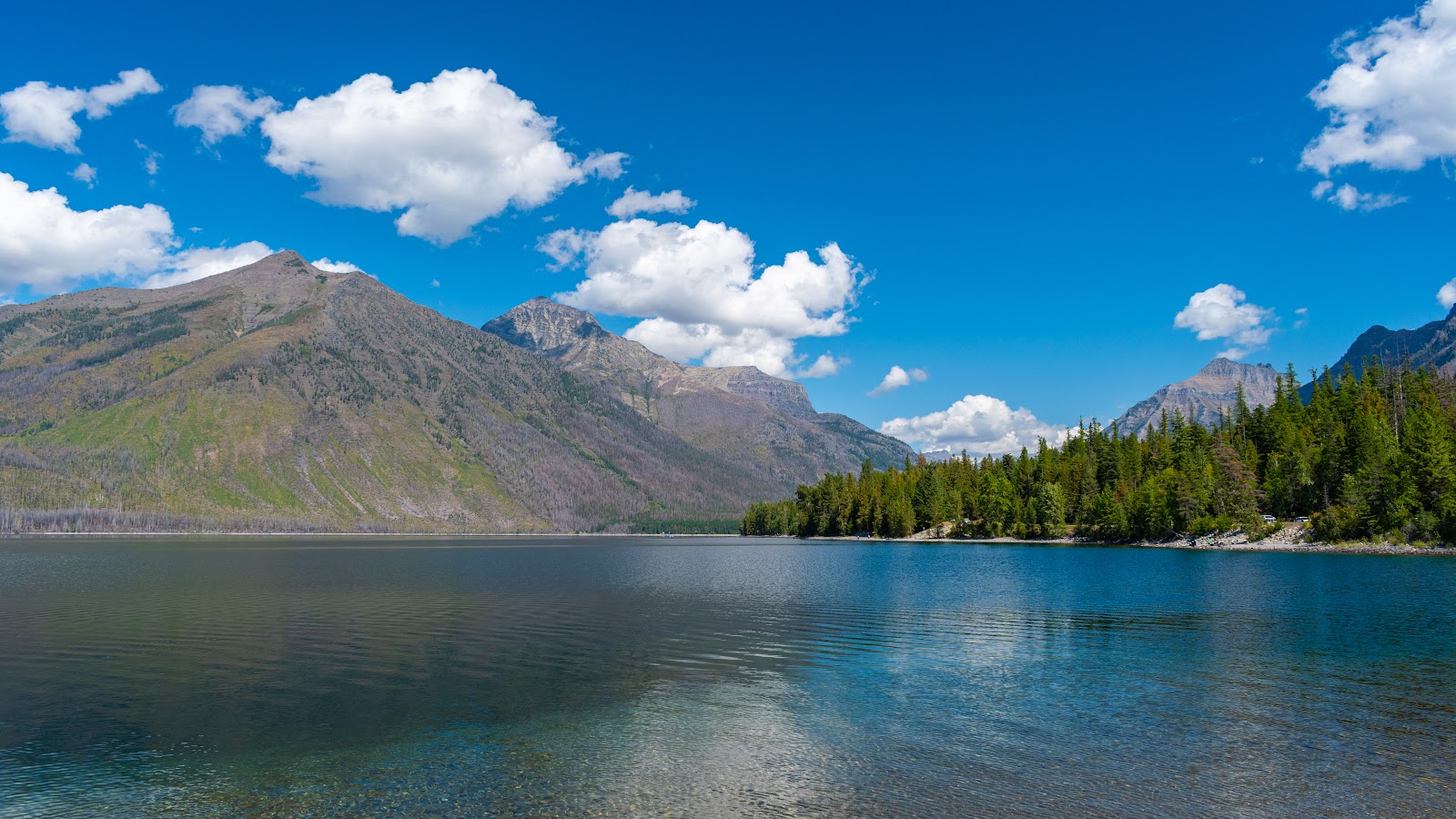
Camas Road is Glacier National Park’s quietest scenic drive — an 11.7-mile paved corridor on the park’s west side that delivers wildlife sightings, forested mountain views, and genuine solitude, all without the crowds that jam Going-to-the-Sun Road every summer morning. The road runs from the Apgar Visitor Center north to the North Fork Road junction, passing moose meadows, Camas Creek, and the Apgar Range backcountry — and in peak season you may drive the entire length without seeing more than a handful of other vehicles.
This guide covers everything you need to drive Camas Road in 2026: the exact route, wildlife hotspots, trailheads, seasonal opening dates, and tips for maximizing your chances of seeing moose and bears.
- Camas Road is 11.7 miles of paved road connecting Apgar to North Fork Road — far less crowded than Going-to-the-Sun Road.
- No vehicle reservation is required for Camas Road in 2026. A standard park pass ($35/vehicle) covers entry.
- The road typically opens mid-June and closes mid-October due to snow.
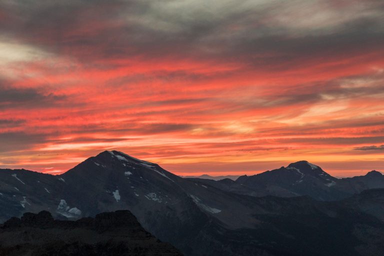
- Moose, black bears, elk, and deer are regularly spotted — best viewing is 5 to 7 AM and 6 to 8 PM.
- Three trailheads branch off the road: Camas Creek Trail (7.2 mi), Huckleberry Lookout, and the Forest and Fire Nature Trail.
- The road is RV-friendly. Note that North Fork Road beyond Camas Road is unpaved and rough.
- No gas stations exist along Camas Road — fill up before entering the park.
What Is Camas Road?
Camas Road — officially named the Camas Creek Cutoff Road — is an 11.7-mile, fully paved two-lane road on the west side of Glacier National Park. It begins at a junction with Going-to-the-Sun Road near the Apgar Visitor Center, runs northwest through forested terrain along Camas Creek, and ends at the North Fork Road junction at the park’s western boundary with Flathead National Forest.
The road was constructed between 1960 and 1967 as part of the National Park Service’s Mission 66 modernization program, at a cost of $2.5 million. Per NPS.gov, Camas Road was listed in the National Register of Historic Places in June 2015 for its statewide significance as a well-preserved example of mid-20th-century roadway engineering. Park administrators originally built it partly to relieve congestion on Going-to-the-Sun Road and to increase visitation to the remote North Fork region.
Some links below are affiliate links.