History of Glacier National Park: From Blackfeet Homeland to Crown of the Continent
Glacier National Park became the 10th national park in the United States on May 11, 1910, when President William Howard Taft signed the Glacier National Park Act into law. The story of these 1,012,837 acres in northwestern Montana stretches back far longer: 10,000 years of Blackfeet habitation, 25 years of one writer’s lobbying campaign, and 170 million years of geological forces that built the “Crown of the Continent.”
Per NPS.gov, Glacier today holds more international designations than any other site in the United States — and is losing its namesake glaciers faster than scientists originally projected. This guide covers the full arc of that history, from Indigenous homelands to present-day climate crisis.
- Glacier National Park was established May 11, 1910 — the 10th national park in the U.S. — signed by President William Howard Taft.
- The Blackfeet (Niitsitapi) have lived in the region for approximately 10,000 years; in 1895 they sold 800,000 acres to the U.S. for just $1.5 million under financial duress.
- George Bird Grinnell spent 25 years advocating for the park, naming the region “the Crown of the Continent” in an 1901 magazine article.
- Going-to-the-Sun Road took 11 years to build (1921-1932), cost $2.5 million, and claimed 3 workers’ lives; it is now a National Historic Landmark.
- Glacier is the only place in the U.S. holding four major international designations: International Peace Park (1932), UNESCO Biosphere Reserve (1976), UNESCO World Heritage Site (1995), and International Dark Sky Park (2017).
- The park has lost roughly 70% of its named glaciers since 1966 — from 83 to approximately 25-26 today.
- The 2026 entrance fee is $35 per vehicle; America the Beautiful annual pass ($80) covers all federal lands.
Some links below are affiliate links.
The Blackfeet Nation: 10,000 Years Before the Park
Long before any explorer or legislator arrived, the land now called Glacier National Park was home to the Blackfeet (Niitsitapi), who have inhabited the region for approximately 10,000 years. They called these mountains “the Backbone of the World.” At their greatest extent, the Blackfeet controlled nearly 28 million acres stretching across the Northern Great Plains into present-day Canada. The Salish (Flathead), Kootenai, and Pend d’Oreille peoples also used the western slopes for hunting, gathering, and spiritual practices.
The transfer of Blackfeet land was not voluntary. The winter of 1883-1884 — known as “Starvation Winter” — killed hundreds of Blackfeet people after bison herds collapsed and government rations failed to arrive. By 1895, financially desperate, the tribe was pressured to sell 800,000 acres of their western reservation lands to the U.S. government. The Blackfeet asked for $3 million; the government paid $1.5 million, per the historical record at Intermountain Histories. The sale agreement included reserved rights to hunt, fish, and gather on the ceded land.

Exploration and the Push for a National Park
Non-Indigenous exploration of the region accelerated in 1891, when the Great Northern Railway completed a line over Marias Pass. Writer and conservationist George Bird Grinnell had already been visiting since 1885, traveling from New York by train, wagon, and horse. He became an honorary Blackfoot chief in 1890. In 1901, he published “The Crown of the Continent” in Century magazine — the essay that gave the region its enduring nickname and drew national attention to a remote wilderness.
Grinnell partnered with Louis W. Hill, president of the Great Northern Railway, and the Boone and Crockett Club to build political pressure for park designation. Congress designated the area a Forest Preserve in 1900, which still permitted mining and homesteading. Grinnell worked with Montana Senator Thomas Carter and allies to block development bill by bill. Twenty-five years after his first visit, his campaign succeeded.
| Year | Milestone |
|---|---|
| 1885 | George Bird Grinnell’s first visit to the region |
| 1890 | Grinnell named honorary Blackfoot chief |
| 1891 | Great Northern Railway completes Marias Pass line |
| 1892 | First tourism businesses at Lake McDonald (Milo Apgar, Charlie Howe) |
| 1895 | Blackfeet sell 800,000 acres to U.S. for $1.5 million |
| 1900 | Area designated a federal Forest Preserve |
| 1901 | Grinnell publishes “The Crown of the Continent” in Century magazine |
| 1910 | President Taft signs Glacier National Park Act on May 11 |

Park Establishment: May 11, 1910
On April 29, 1910, the Glacier National Park establishing bill passed both houses of Congress. President William Howard Taft signed it into law on May 11, 1910. Per NPS.gov, Glacier became the 10th national park in the United States, encompassing 1,012,837 acres (1,583 square miles) in northwestern Montana.
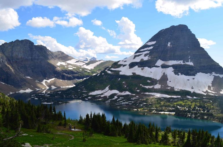
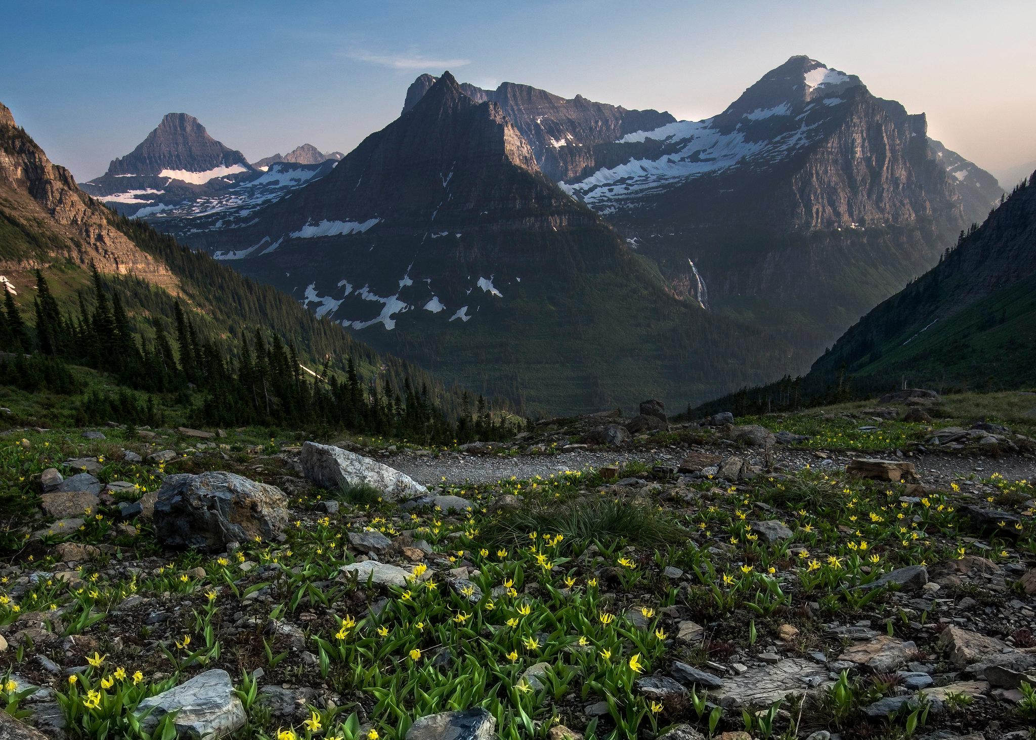
The park’s geology is as dramatic as its history. The mountains began forming approximately 170 million years ago when ancient Precambrian rocks were thrust eastward in the “Lewis Overthrust.” The landscape was nearly covered in ice 20,000 years ago, then nearly ice-free by 11,500 years ago. The glaciers that give the park its name formed approximately 6,500 years ago. At their peak around 1850, roughly 150 named glaciers covered the park area.
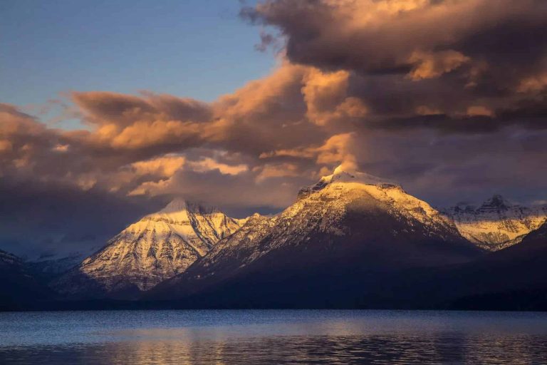
The park protects 175 mountains, 762 lakes, 2,865 miles of streams, 745.9 miles of trails, 71 mammal species, 276 bird species, and 1,132 vascular plant species — per NPS.gov. The highest point is Mt. Cleveland at 10,448 feet. The largest lake — Lake McDonald — stretches 9.4 miles long and 464 feet deep.

The Great Northern Railway and Early Tourism
If George Bird Grinnell was the park’s conscience, Louis W. Hill was its promoter. As president of the Great Northern Railway, Hill branded Glacier “America’s Switzerland” and launched the “See America First” campaign, targeting wealthy Americans who would otherwise summer in the Swiss Alps.
Between 1909 and 1913, the Great Northern bankrolled a network of Swiss-style chalets and lodges: the Belton Chalet (1910) at West Glacier, Many Glacier Hotel (1914-1915), Two Medicine Chalet, Sperry Chalet, Granite Park Chalet, and others. Most backcountry chalets were accessible only by horseback or foot — designed as a grand wilderness loop for affluent travelers.
When World War I (1914-1918) collapsed European travel, Hill’s “American Alps” branding paid off — domestic tourism surged. But when Going-to-the-Sun Road opened to automobiles in 1933, it disrupted the train-and-horse model, beginning the automobile-based tourism era that defines the park today.
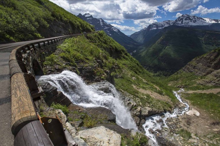
Going-to-the-Sun Road: Engineering a Marvel
The idea for a trans-park road was first proposed in 1917 by Superintendent George Goodwin and endorsed by NPS Director Stephen T. Mather. Highway engineer Frank Kittredge of the Bureau of Public Roads designed the route — carving it directly into the cliff face of the Garden Wall. NPS Landscape Architect Thomas Vint collaborated to integrate the road with the landscape rather than dominate it.
Construction began in 1921. Workers blasted and carved through solid rock at elevations above 6,000 feet in conditions so vertiginous that many resigned. Three workers died during construction. The Logan Pass summit section — crossing the Continental Divide at 6,646 feet — was completed in 1932. The road was formally dedicated on July 15, 1933, and finally paved with asphalt in 1955.
Total construction cost: $2.5 million over eight years of active work, per NPS.gov. The 50-mile road is now a National Historic Landmark and a National Historic Civil Engineering Landmark (ASCE). Vehicles over 21 feet long or 8 feet wide are prohibited past Avalanche Creek.

The CCC Era and Mid-Century Growth
From 1933 to 1942, the Civilian Conservation Corps (CCC) transformed Glacier’s infrastructure. CCC crews built trails, campgrounds, ranger stations, and fire lookouts. Much of the trail network hikers use today dates to this era. At its peak, multiple CCC camps operated simultaneously inside park boundaries.
Post-war prosperity in the 1950s brought a boom in automobile tourism. The paving of Going-to-the-Sun Road in 1955 cemented the automobile era. Visitation climbed steadily, reaching its peak of 3,305,512 in 2017. Per NPS.gov, 2023 saw 2,933,616 visitors. The park now requires timed-entry permits for the Going-to-the-Sun Road corridor during peak summer months to manage crowding.
International Designations and Global Recognition
Glacier holds four major international designations — more than any other site in the United States. Each reflects a different dimension of the park’s significance.
| Designation | Year | Significance |
|---|---|---|
| Waterton-Glacier International Peace Park | 1932 | First international peace park in the world; combined with Canada’s Waterton Lakes NP |
| UNESCO Biosphere Reserve | 1976 | Recognized for ecological value under UNESCO’s Man and the Biosphere Programme |
| UNESCO World Heritage Site | 1995 | Designated for “outstanding universal value” — covers the combined Waterton-Glacier area |
| International Dark Sky Park | 2017 | First IDA designation crossing an international border (shared with Waterton) |
The Waterton-Glacier International Peace Park, established in 1932, was championed by Rotary Clubs of Alberta and Montana. Per NPS.gov, it remains a global model for transboundary conservation.
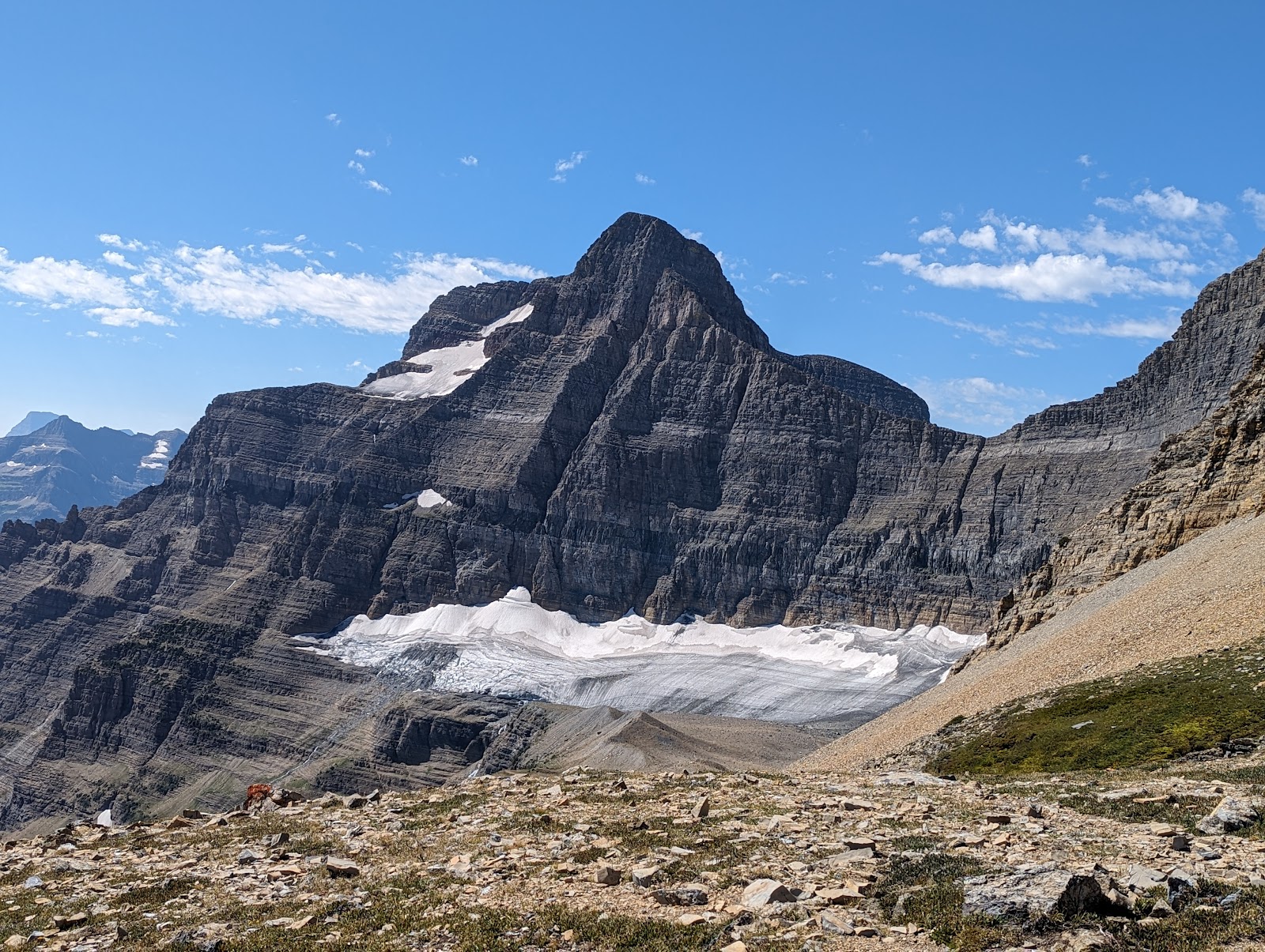
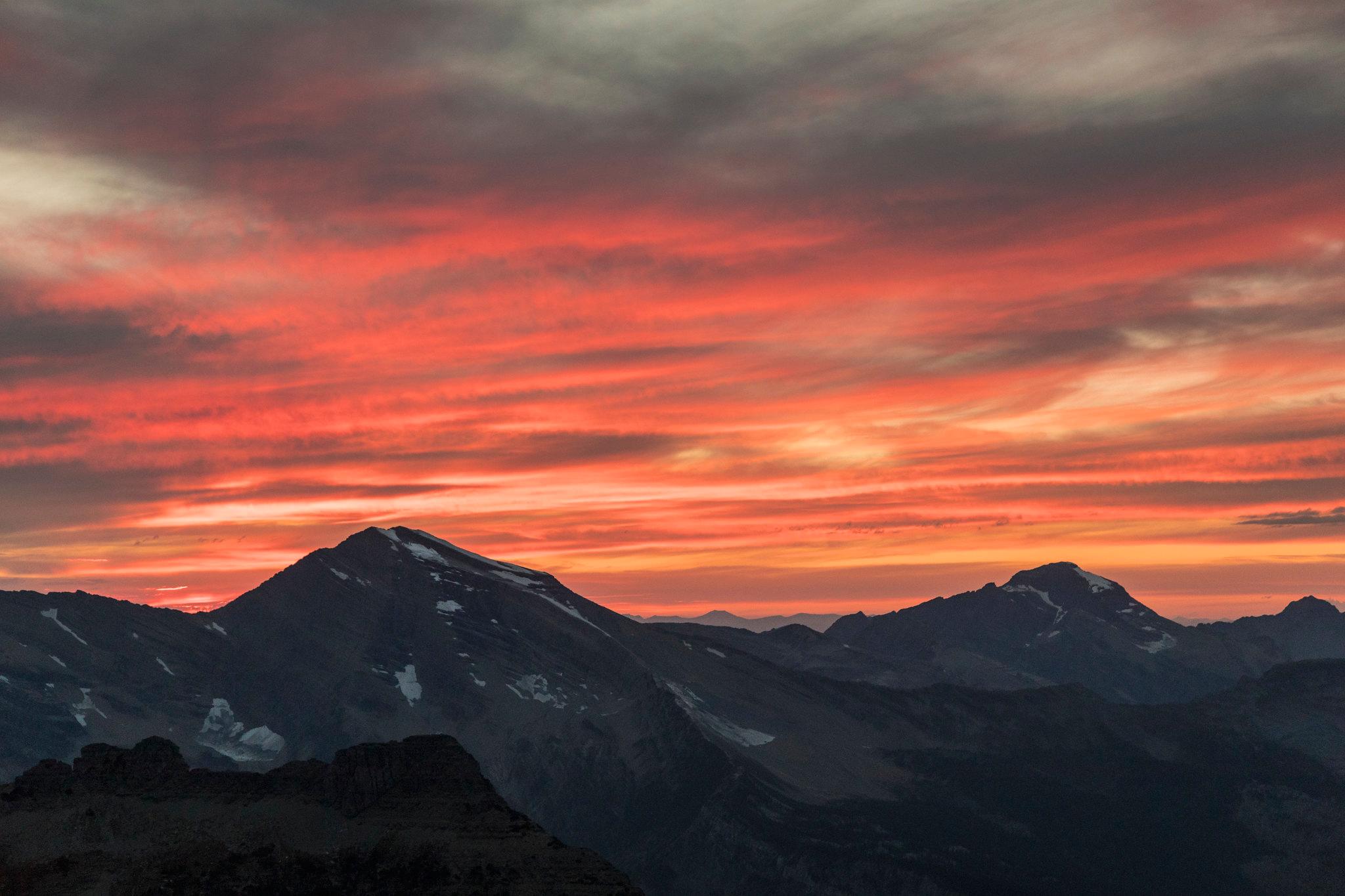
The Glaciers: Then and Now
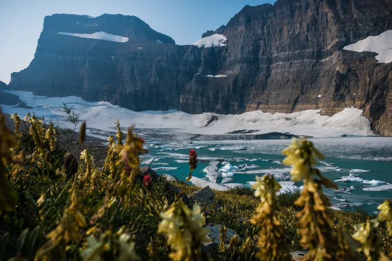
Glacier National Park’s most urgent historical story is also its most contemporary one. At the Little Ice Age maximum around 1850, approximately 150 named glaciers covered the park. USGS aerial surveys in 1966 counted 83 named ice-and-snow bodies (each at least 0.1 square kilometers) — establishing the modern monitoring baseline.
Per USGS, approximately 25-26 active glaciers remain as of 2026 — a loss of roughly 70% since 1966. Average glacier surface area shrank approximately 39% between 1966 and 2015. Montana’s average annual temperature rose 2.7 degrees F (1.5 degrees C) between 1950 and 2015. The largest remaining glacier — Harrison Glacier — covers 1,661,456 square meters.
Historical photos mounted beside glacier viewpoints throughout the park document what’s been lost within a single lifetime. The 1966 aerial baseline is the standard reference for all USGS monitoring — the first systematic glacier inventory before satellite data was available. Rangers compare those baseline images to current conditions at each named glacier: a living geological record, shrinking year by year.

Frequently Asked Questions
When was Glacier National Park established?
Who founded Glacier National Park?
How many glaciers does Glacier National Park have left?
What is the entrance fee for Glacier National Park in 2026?
Why is Glacier National Park called the Crown of the Continent?
How We Researched This Guide
- NPS.gov — Glacier National Park History and Culture pages
- NPS.gov — Going-to-the-Sun Road Historic District (articles/890108.htm)
- NPS.gov — Glacier National Park Fact Sheet and 2023 Visitation Data
- NPS.gov — The Great Northern Railway historical education page
- USGS Northern Rocky Mountain Science Center — Status of Glaciers in Glacier National Park
- NASA Earth Observatory — World of Change: Ice Loss in Glacier National Park
- Boone and Crockett Club — Grinnell’s Glacier National Park
- Intermountain Histories — Blackfeet Removal from Glacier National Park
Glacier counts reflect the most recent USGS monitoring data available in early 2026. Visitation statistics reflect the most recent complete year reported by NPS. Indigenous history reflects documented academic and NPS records; oral traditions contain additional knowledge not represented here.
Ready to experience the Crown of the Continent for yourself? Start planning your visit to Glacier National Park — including ticketed entry…