 Natural Attraction
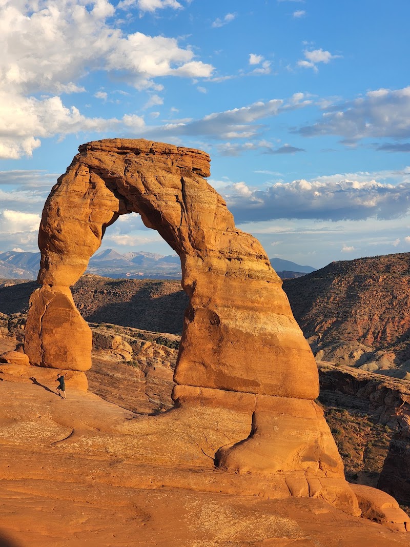
Delicate Arch
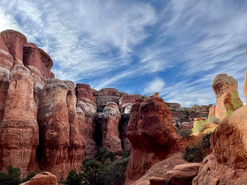
Delicate Arch rises from red sandstone against a broad Utah sky. Erosion by water and wind carved this freestanding span.
View details →

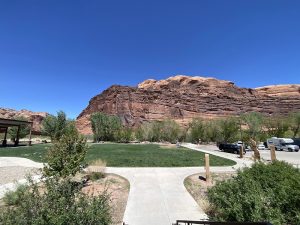


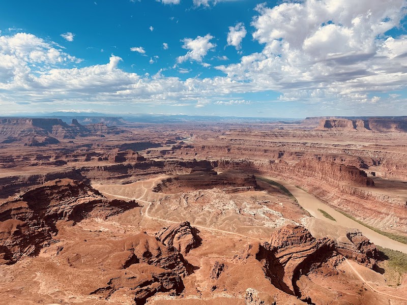
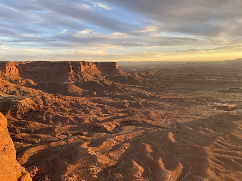
Red rock walls rise along the Colorado River, and a modern bridge spans the water. The scene sits within Entrada Sandstone, deposited as dunes in the Jurassic and later sculpted by water and uplift. It is a clear example of river-and-wind erosion shaping Arches’ dramatic landscape.
Geological Formation
4,100 ft
Wheelchair-accessible with paved paths
Colorado River, Entrada Sandstone bluffs, pedestrian bridge, Moab Canyon Pathway connections
Red sandstone walls rise beside the river, a modern bridge crosses the water, and interpretive signs guide your understanding of the landscape along a shaded, paved corridor.
Gateway to Arches with direct riverfront access and a long, connected bike/path network along the Colorado River
Spring and fall offer comfortable temps. Early mornings and late afternoons provide cooler light for photography; avoid the heat of mid-summer.
Sun exposure and dehydration are hazards. The Colorado River currents can be dangerous; stay on paved paths and supervise children. Bring water, sunscreen, and a hat.
Gateway to Arches with direct riverfront access and a long, connected bike/path network along the Colorado River
Visible sedimentary layering and cross-bedding in Entrada; river-erosion processes; Indigenous cultural significance nearby; context for arches formation
From Moab, drive northeast on UT-128 for about 5 miles to Lions Park. Park in the paved lots, walk onto the river promenade, and cross the pedestrian bridge; follow the Moab Canyon Pathway east and west connections toward Arches.
Moab Canyon Pathway heads east along the Colorado River from Lions Park; western connectors lead toward Arches
Moab Canyon Pathway east toward Arches; riverfront loop connections; links to broader Moab network
Bridge viewing points over the Colorado River; river bend and red walls framed by the path
Bridge framing with river reflections; golden-hour light on red cliffs; long-exposure water shots
Pedestrian bridge over the river; river reflections; light on red rock walls during golden hour
Deer, elk, mountain lions, bears
Dry desert climate; hot summers; mild springs; occasional monsoon rains; flash floods possible in narrow channels
Arches National Park arches and fins; Moab Canyon Pathway; Colorado River views; downtown Moab
Trailhead restrooms; parking; interpretive signs; town amenities in Moab; water not guaranteed
Paved paths; accessible restrooms; gentle grades
Flat, paved routes; shade limited; supervise children near the river; bring water
Trailhead restrooms; parking; interpretive signs; town services in Moab
To Park Entrance
5 miles northeast of downtown Moab along UT-128
Based on 844 Google reviews
Based on 844 guest reviews
" Visitors value the easy access to a broad river corridor and the chance to connect with Arches from a convenient gateway. The paved paths and interpretive signs help orientation, though heat and crowds can be factors in peak season. Restroom upkeep has been noted in some reviews."
Parking fills quickly during peak season; arriving early improves chances, and visiting during off-peak times is noticeably quieter.
Yes. The route delivers continuous river scenery and easy access to Arches; plan segments from Lions Park or combine with town stops for a full day.
Yes. The routes are paved with gentle grades, and restrooms are accessible nearby.
Potable water spigots are not explicitly noted; bring your own water to stay hydrated in the desert.
Sun exposure and dehydration are real risks; the river can have strong currents. Stay on the paved routes, supervise children, and keep a safe distance from the water.
6 listings
4 listings
Information is compiled from official sources, verified traveler reviews, and editorial research. Learn how YourNPGuide works →
Notifications