 Natural Attraction
Delicate Arch
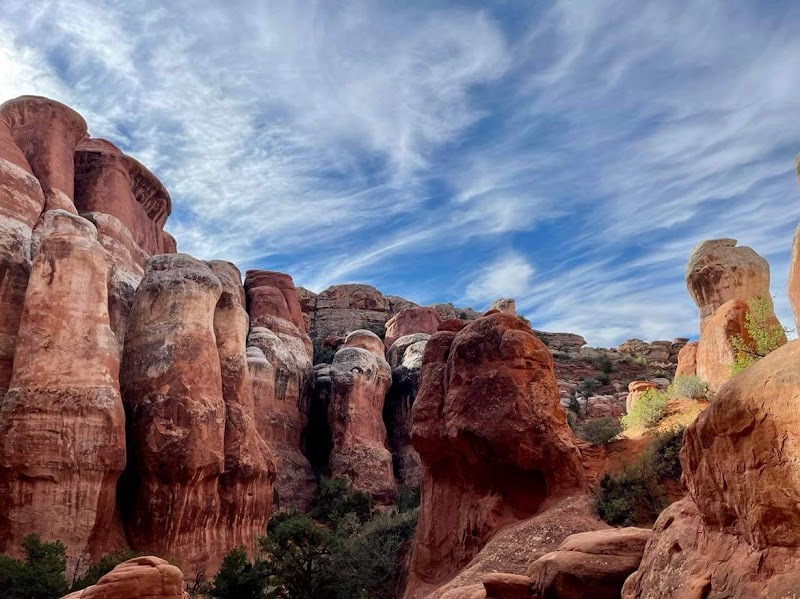
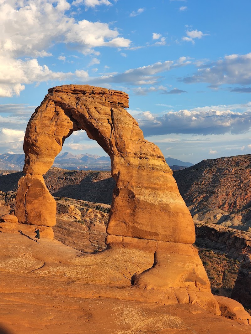
Delicate Arch rises from red sandstone against a broad Utah sky. Erosion by water and wind carved this freestanding span.
View details →

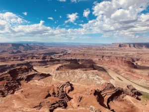


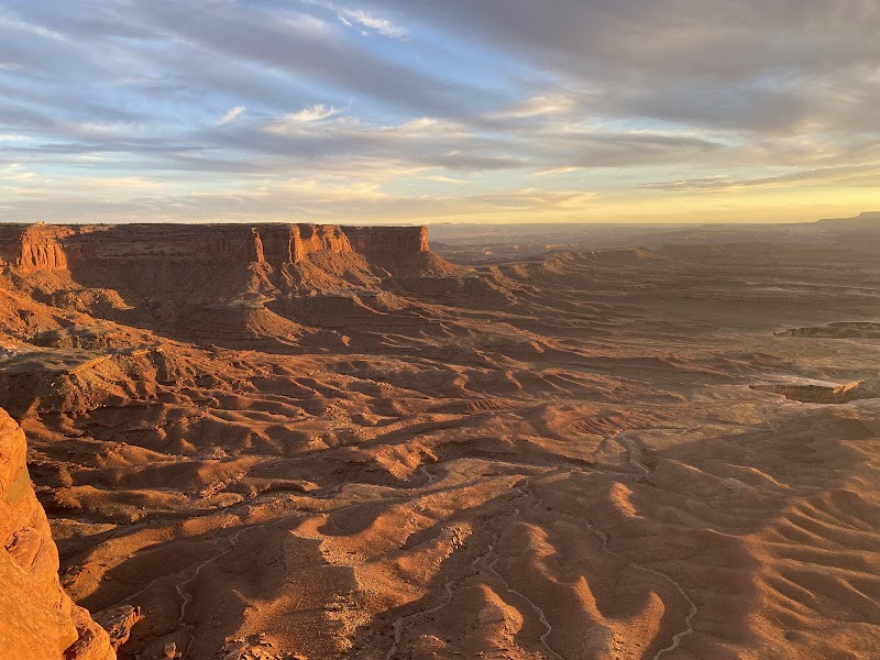
Red sandstone cliffs frame a vast panorama as the Colorado River braids into goosenecks far below. The neck of the peninsula sits on a high mesa about 2,000 feet above the river, big views from every angle. This is an entrenched meander—downcutting by the river during uplift left the canyon perched above a deep, dramatic landscape.
Geological Formation
5,900 ft
Drive-up view; paved access to several viewpoints; some overlooks accessible with railings
Dead Horse Point Overlook, Colorado River goosenecks, entrenched meander, 2,000-foot canyon, 30-yard neck
Colorado River goosenecks snaking through the canyon; layered Pennsylvanian–Jurassic sandstone walls; distant La Sal Mountains
Peninsula neck ~30 yards wide; 2,000-foot drop; entrenched meander showcasing river downcut during uplift
Open year-round. Spring and Fall bring milder temperatures; Sunrise and Sunset illuminate the canyon in warm light; Midday visits are hot and crowds grow in peak season.
2,000-foot drop; extreme desert temperatures; uneven terrain; stay behind rails; carry ample water; wear sturdy footwear
Peninsula neck ~30 yards wide; 2,000-foot drop; entrenched meander showcasing river downcut during uplift
300–150 million-year sedimentary sequence; La Sal Mountains 25–48 million years old; uplift from Farallon plate subduction; river downcutting records tectonics and erosion
From Moab, drive a paved road into Dead Horse Point State Park; follow signs to the Visitor Center and Dead Horse Point Overlook; parking is available at the Visitor Center and overlooks.
East Rim Trail; Intrepid Trail System
East Rim Trail, Intrepid Trail System; interconnected rim viewpoints
Dead Horse Point Overlook; additional overlooks reachable via the Rim Trails
Golden-hour glow across canyon walls; silhouettes of goosenecks; dramatic shadows on layered rock
Overlook platforms; rim-edge vantage points; goosenecks along the Colorado
Desert-adapted wildlife; nocturnal species; juniper-piñon forest inhabitants
Desert climate; hot summers; mild springs/fall; clear skies common
Arches National Park, Canyonlands National Park, Moab area
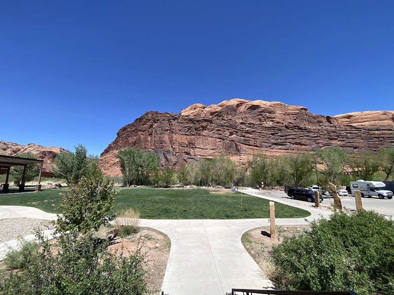
Visitor Center, restrooms, potable water, interpretive signs, campgrounds
Paved trails to several viewpoints; visitor center with disabled facilities
Explain cliff hazards to children; hold hands near edges; use rails and designated paths
Visitor Center, campgrounds, restrooms, potable water
To Park Entrance
1.5 miles one-way to Overlook via East Rim Trail (from Visitor Center)
Based on 6303 Google reviews
Based on 6303 guest reviews
" The site earns high marks (4.8/5 from thousands of reviews) for its panoramic canyon panorama and clear geological storytelling; parking can be tight during peak times, but the expansive views and sedimentary layering make the visit worthwhile."
Parking fills early, especially in summer. Plan to arrive before 8am and be prepared to use overflow areas; if you can, come during off-peak hours for a calmer visit.
Yes. The 1.5-mile one-way climb rewards you with expansive canyon panoramas and closer views of the goosenecks; wear sturdy footwear and pace yourself for the desert heat.
Yes, but keep them away from cliff edges and hold hands near rails; designate a safe viewing area and supervise closely in the high-desert environment.
Cell service is spotty away from the Visitor Center; download offline maps and share your plan before you go to avoid getting lost.
Yes. The Visitor Center has potable water and restrooms; some campgrounds also offer facilities, but plan to refuel and refill at the Visitor Center before heading to the viewpoints.
6 listings
4 listings
Information is compiled from official sources, verified traveler reviews, and editorial research. Learn how YourNPGuide works →
Notifications